Photos • Location


Size of this preview:
680 × 600 pixels. Other resolutions:
272 × 240 pixels |
544 × 480 pixels |
870 × 768 pixels |
1,161 × 1,024 pixels |
1,700 × 1,500 pixels.
Original file (1,700 × 1,500 pixels, file size: 1,022 KB, MIME type: image/jpeg)
| This is a file from the
Wikimedia Commons. Information from its
description page there is shown below. Commons is a freely licensed media file repository. You can help. |
.jpg)
Summary
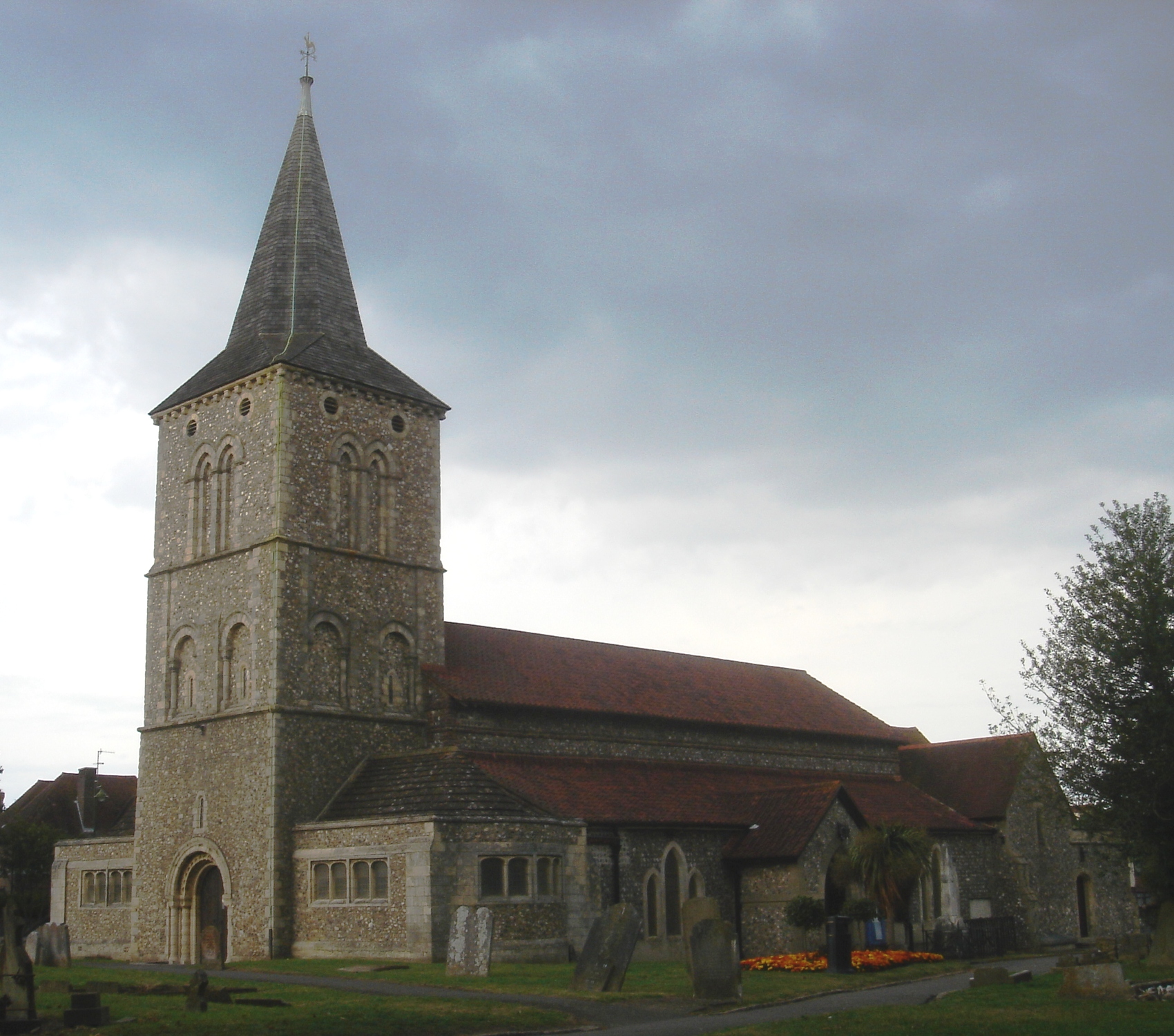
This is a photo of
listed building number
1353751. |
| Description | St Michael and All Angels Church, Church Lane, Southwick, Adur District, West Sussex, England. A restored 12th- and 13th-century Anglican church; the parish church of Southwick. listed at Grade II* by English Heritage (IoE Code 297346) |
| Date | |
| Source | Own work |
| Author | The Voice of Hassocks |
| Camera location |
| View this and other nearby images on: OpenStreetMap |
|
|---|
.jpg¶ms=050.834722_N_-000.241111_E_globe:Earth_type:camera__&language=en)
Licensing
| I, the copyright holder of this work, release this work into the
public domain. This applies worldwide. In some countries this may not be legally possible; if so: I grant anyone the right to use this work for any purpose, without any conditions, unless such conditions are required by law. |
File history
Click on a date/time to view the file as it appeared at that time.
| Date/Time | Thumbnail | Dimensions | User | Comment | |
|---|---|---|---|---|---|
| current | 17:20, 11 July 2009 |
| 1,700 × 1,500 (1,022 KB) | Hassocks5489 | {{Information |Description=St Michael and All Angels Church, Church Lane, Southwick, Adur District, West Sussex, England. A restored 12th- and 13th-century Anglican church; the parish church of Southwick. [http://www.imagesofengland.org.uk/Details/Defau |
File usage
The following pages on the English Wikipedia use this file (pages on other projects are not listed):
Global file usage
The following other wikis use this file:
- Usage on azb.wikipedia.org
- Usage on cy.wikipedia.org
- Usage on dag.wikipedia.org
- Usage on en.wikivoyage.org
- Usage on es.wikipedia.org
- Usage on ga.wikipedia.org
- Usage on lld.wikipedia.org
- Usage on pl.wikipedia.org
- Usage on www.wikidata.org
Metadata
.jpg)
Size of this preview:
680 × 600 pixels. Other resolutions:
272 × 240 pixels |
544 × 480 pixels |
870 × 768 pixels |
1,161 × 1,024 pixels |
1,700 × 1,500 pixels.
Original file (1,700 × 1,500 pixels, file size: 1,022 KB, MIME type: image/jpeg)
| This is a file from the
Wikimedia Commons. Information from its
description page there is shown below. Commons is a freely licensed media file repository. You can help. |
Summary
This is a photo of
listed building number
1353751. |
| Description | St Michael and All Angels Church, Church Lane, Southwick, Adur District, West Sussex, England. A restored 12th- and 13th-century Anglican church; the parish church of Southwick. listed at Grade II* by English Heritage (IoE Code 297346) |
| Date | |
| Source | Own work |
| Author | The Voice of Hassocks |
| Camera location |
| View this and other nearby images on: OpenStreetMap |
|
|---|
Licensing
| I, the copyright holder of this work, release this work into the
public domain. This applies worldwide. In some countries this may not be legally possible; if so: I grant anyone the right to use this work for any purpose, without any conditions, unless such conditions are required by law. |
File history
Click on a date/time to view the file as it appeared at that time.
| Date/Time | Thumbnail | Dimensions | User | Comment | |
|---|---|---|---|---|---|
| current | 17:20, 11 July 2009 |
| 1,700 × 1,500 (1,022 KB) | Hassocks5489 | {{Information |Description=St Michael and All Angels Church, Church Lane, Southwick, Adur District, West Sussex, England. A restored 12th- and 13th-century Anglican church; the parish church of Southwick. [http://www.imagesofengland.org.uk/Details/Defau |
File usage
The following pages on the English Wikipedia use this file (pages on other projects are not listed):
Global file usage
The following other wikis use this file:
- Usage on azb.wikipedia.org
- Usage on cy.wikipedia.org
- Usage on dag.wikipedia.org
- Usage on en.wikivoyage.org
- Usage on es.wikipedia.org
- Usage on ga.wikipedia.org
- Usage on lld.wikipedia.org
- Usage on pl.wikipedia.org
- Usage on www.wikidata.org