
Original file (SVG file, nominally 1,054 × 1,072 pixels, file size: 296 KB)
| This is a file from the
Wikimedia Commons. Information from its
description page there is shown below. Commons is a freely licensed media file repository. You can help. |
Summary
| Description |
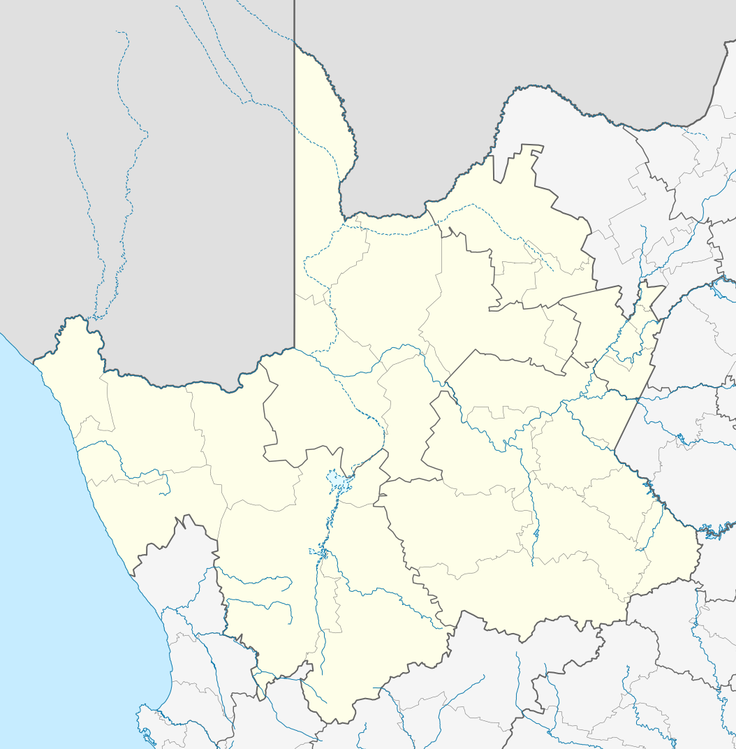
English: Location map of the
Northern Cape
Equirectangular projection, N/S stretching 113%. Geographic limits of the map:
|
| Date | |
| Source |
|
| Author | Htonl |
| Permission ( Reusing this file) |
I, the copyright holder of this work, hereby publish it under the following license: This file is licensed under the
Creative Commons
Attribution-Share Alike 3.0 Unported license.
|
| Other versions | File:South Africa Northern Cape relief location map.svg, File:Blank map of the Northern Cape (2011).svg |
.svg)
File history
Click on a date/time to view the file as it appeared at that time.
| Date/Time | Thumbnail | Dimensions | User | Comment | |
|---|---|---|---|---|---|
| current | 22:28, 6 January 2013 |
| 1,054 × 1,072 (296 KB) | Htonl | == {{int:filedesc}} == {{Information |Description ={{en|Location map of the en:Northern Cape Equirectangular projection, N/S stretching 113%. Geographic limits of the map: * N: 24.25° S * S: 33.25° S * W: 16° E * E: 26° E}} |Source ... |
File usage
More than 100 pages use this file. The following list shows the first 100 pages that use this file only. A full list is available.
- Aggeneys
- Aggeneys Airport
- Alexander Bay, South Africa
- Augrabies, South Africa
- Barkly West
- Brandvlei
- Britstown
- Calvinia
- Campbell, South Africa
- Carnarvon, South Africa
- Carnarvon Airport (South Africa)
- Colesberg
- Concordia, South Africa
- Daniëlskuil
- De Aar
- Deelfontein
- Delportshoop
- Dibeng
- Dingleton
- Dithakong
- Douglas, South Africa
- Fraserburg
- Ganspan
- Garies
- Griekwastad
- Groblershoop
- Hanover, South Africa
- Hartswater
- Hondeklip Bay
- Hopetown
- Hotazel
- Hutchinson, South Africa
- Jan Kempdorp
- Johan Pienaar Airport
- Kakamas
- Kamieskroon
- Karkams
- Kathu
- Keimoes
- Kenhardt
- Kimberley, Northern Cape
- Kimberley Airport
- Kleinzee
- Kleinzee Airport
- Koingnaas
- Komaggas
- Kuruman
- Leliefontein, South Africa
- Loeriesfontein
- Lohatla
- Louisvale
- Loxton, South Africa
- Marchand, South Africa
- Marydale
- Merriman, South Africa
- Modder River, Northern Cape
- Mothibistad
- Nababeep
- Nakop
- Niekerkshoop
- Nieuwoudtville
- Norvalspont
- Noupoort
- Okiep
- Olifantshoek
- Onseepkans
- Orania
- Pampierstad
- Pella, South Africa
- Petrusville
- Philipstown, South Africa
- Plooysburg
- Pofadder, South Africa
- Port Nolloth
- Postmasburg
- Prieska
- Richmond, Northern Cape
- Riemvasmaak
- Rietfontein
- Ritchie, South Africa
- Schmidtsdrift
- Soebatsfontein
- Spoegrivier
- Springbok, South Africa
- Steinkopf, South Africa
- Strydenburg
- Sutherland, South Africa
- Sydney on Vaal
- Ulco
- Upington
- Upington Airport
- Vaalputs
- Van Zylsrus
- Vanderkloof
- Vanwyksvlei
- Victoria West
- Vioolsdrif
- Vosburg
- Warrenton, South Africa
- Williston, South Africa
View more links to this file.
Global file usage
The following other wikis use this file:
- Usage on af.wikipedia.org
- Kimberley
- Upington
- Fraserburg
- Orania
- Sutherland
- Alexanderbaai
- Onseepkans
- Pella
- Postmasburg
- Calvinia
- Augrabies- Nasionale Park
- Williston, Noord-Kaap
- Garies
- Kamieskroon
- Vioolsdrif
- Steinkopf
- Hopetown
- Douglas, Noord-Kaap
- Okiep
- Concordia
- Port Nolloth
- Springbok, Noord-Kaap
- Pofadder, Noord-Kaap
- Carnarvon
- Victoria-Wes
- Hutchinson
- Hondeklipbaai
- Henkries
- Goodhouse
- Leliefontein
- Prieska
- Colesberg
- Mesklip
- Warrenton, Noord-Kaap
- Kuruman
- Hotazel
- Jan Kempdorp
- Loeriesfontein
- Vosburg
- Strydenburg
- Kenhardt
- Marydale
- De Aar
- Hartswater
- Groblershoop
- Campbell
- Loxton
- Windsorton
- Van Wyksvlei
- Richmond, Noord-Kaap
View more global usage of this file.
Metadata
Original file (SVG file, nominally 1,054 × 1,072 pixels, file size: 296 KB)
| This is a file from the
Wikimedia Commons. Information from its
description page there is shown below. Commons is a freely licensed media file repository. You can help. |
Summary
| Description |
English: Location map of the
Northern Cape
Equirectangular projection, N/S stretching 113%. Geographic limits of the map:
|
| Date | |
| Source |
|
| Author | Htonl |
| Permission ( Reusing this file) |
I, the copyright holder of this work, hereby publish it under the following license: This file is licensed under the
Creative Commons
Attribution-Share Alike 3.0 Unported license.
|
| Other versions | File:South Africa Northern Cape relief location map.svg, File:Blank map of the Northern Cape (2011).svg |
File history
Click on a date/time to view the file as it appeared at that time.
| Date/Time | Thumbnail | Dimensions | User | Comment | |
|---|---|---|---|---|---|
| current | 22:28, 6 January 2013 |
| 1,054 × 1,072 (296 KB) | Htonl | == {{int:filedesc}} == {{Information |Description ={{en|Location map of the en:Northern Cape Equirectangular projection, N/S stretching 113%. Geographic limits of the map: * N: 24.25° S * S: 33.25° S * W: 16° E * E: 26° E}} |Source ... |
File usage
More than 100 pages use this file. The following list shows the first 100 pages that use this file only. A full list is available.
- Aggeneys
- Aggeneys Airport
- Alexander Bay, South Africa
- Augrabies, South Africa
- Barkly West
- Brandvlei
- Britstown
- Calvinia
- Campbell, South Africa
- Carnarvon, South Africa
- Carnarvon Airport (South Africa)
- Colesberg
- Concordia, South Africa
- Daniëlskuil
- De Aar
- Deelfontein
- Delportshoop
- Dibeng
- Dingleton
- Dithakong
- Douglas, South Africa
- Fraserburg
- Ganspan
- Garies
- Griekwastad
- Groblershoop
- Hanover, South Africa
- Hartswater
- Hondeklip Bay
- Hopetown
- Hotazel
- Hutchinson, South Africa
- Jan Kempdorp
- Johan Pienaar Airport
- Kakamas
- Kamieskroon
- Karkams
- Kathu
- Keimoes
- Kenhardt
- Kimberley, Northern Cape
- Kimberley Airport
- Kleinzee
- Kleinzee Airport
- Koingnaas
- Komaggas
- Kuruman
- Leliefontein, South Africa
- Loeriesfontein
- Lohatla
- Louisvale
- Loxton, South Africa
- Marchand, South Africa
- Marydale
- Merriman, South Africa
- Modder River, Northern Cape
- Mothibistad
- Nababeep
- Nakop
- Niekerkshoop
- Nieuwoudtville
- Norvalspont
- Noupoort
- Okiep
- Olifantshoek
- Onseepkans
- Orania
- Pampierstad
- Pella, South Africa
- Petrusville
- Philipstown, South Africa
- Plooysburg
- Pofadder, South Africa
- Port Nolloth
- Postmasburg
- Prieska
- Richmond, Northern Cape
- Riemvasmaak
- Rietfontein
- Ritchie, South Africa
- Schmidtsdrift
- Soebatsfontein
- Spoegrivier
- Springbok, South Africa
- Steinkopf, South Africa
- Strydenburg
- Sutherland, South Africa
- Sydney on Vaal
- Ulco
- Upington
- Upington Airport
- Vaalputs
- Van Zylsrus
- Vanderkloof
- Vanwyksvlei
- Victoria West
- Vioolsdrif
- Vosburg
- Warrenton, South Africa
- Williston, South Africa
View more links to this file.
Global file usage
The following other wikis use this file:
- Usage on af.wikipedia.org
- Kimberley
- Upington
- Fraserburg
- Orania
- Sutherland
- Alexanderbaai
- Onseepkans
- Pella
- Postmasburg
- Calvinia
- Augrabies- Nasionale Park
- Williston, Noord-Kaap
- Garies
- Kamieskroon
- Vioolsdrif
- Steinkopf
- Hopetown
- Douglas, Noord-Kaap
- Okiep
- Concordia
- Port Nolloth
- Springbok, Noord-Kaap
- Pofadder, Noord-Kaap
- Carnarvon
- Victoria-Wes
- Hutchinson
- Hondeklipbaai
- Henkries
- Goodhouse
- Leliefontein
- Prieska
- Colesberg
- Mesklip
- Warrenton, Noord-Kaap
- Kuruman
- Hotazel
- Jan Kempdorp
- Loeriesfontein
- Vosburg
- Strydenburg
- Kenhardt
- Marydale
- De Aar
- Hartswater
- Groblershoop
- Campbell
- Loxton
- Windsorton
- Van Wyksvlei
- Richmond, Noord-Kaap
View more global usage of this file.