Photos • Location


Size of this preview:
800 × 594 pixels. Other resolutions:
320 × 238 pixels |
640 × 475 pixels |
1,024 × 760 pixels |
1,280 × 950 pixels |
2,080 × 1,544 pixels.
Original file (2,080 × 1,544 pixels, file size: 253 KB, MIME type: image/jpeg)
| This is a file from the
Wikimedia Commons. Information from its
description page there is shown below. Commons is a freely licensed media file repository. You can help. |
Summary
| Description |
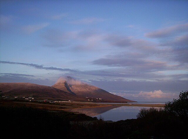
English: Sliabh Mór from Tóin an tSeanbhaile on Achill Island |
| Date | |
| Source | Own work |
| Author | Yurgenphogen |
| Camera location |
| View this and other nearby images on: OpenStreetMap |
|
|---|
Licensing
| I, the copyright holder of this work, release this work into the
public domain. This applies worldwide. In some countries this may not be legally possible; if so: I grant anyone the right to use this work for any purpose, without any conditions, unless such conditions are required by law. |
File history
Click on a date/time to view the file as it appeared at that time.
| Date/Time | Thumbnail | Dimensions | User | Comment | |
|---|---|---|---|---|---|
| current | 22:06, 15 March 2010 |
| 2,080 × 1,544 (253 KB) | Yurgenphogen | {{Information |Description={{en|1=Sliabh Mór from Tóin an tSeanbhaile on Achill Island}} |Source={{own}} |Author= Yurgenphogen |Date=2005-02-23 |Permission= |other_versions= }} {{location dec|54.011955|-9.97368}} [[Category:Achill |
File usage
The following pages on the English Wikipedia use this file (pages on other projects are not listed):
Global file usage
The following other wikis use this file:
- Usage on fa.wikipedia.org
- Usage on it.wikipedia.org
- Usage on www.wikidata.org
Metadata
Size of this preview:
800 × 594 pixels. Other resolutions:
320 × 238 pixels |
640 × 475 pixels |
1,024 × 760 pixels |
1,280 × 950 pixels |
2,080 × 1,544 pixels.
Original file (2,080 × 1,544 pixels, file size: 253 KB, MIME type: image/jpeg)
| This is a file from the
Wikimedia Commons. Information from its
description page there is shown below. Commons is a freely licensed media file repository. You can help. |
Summary
| Description |
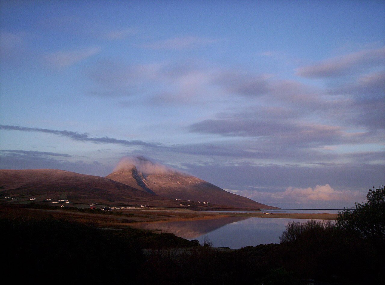
English: Sliabh Mór from Tóin an tSeanbhaile on Achill Island |
| Date | |
| Source | Own work |
| Author | Yurgenphogen |
| Camera location |
| View this and other nearby images on: OpenStreetMap |
|
|---|
Licensing
| I, the copyright holder of this work, release this work into the
public domain. This applies worldwide. In some countries this may not be legally possible; if so: I grant anyone the right to use this work for any purpose, without any conditions, unless such conditions are required by law. |
File history
Click on a date/time to view the file as it appeared at that time.
| Date/Time | Thumbnail | Dimensions | User | Comment | |
|---|---|---|---|---|---|
| current | 22:06, 15 March 2010 |
| 2,080 × 1,544 (253 KB) | Yurgenphogen | {{Information |Description={{en|1=Sliabh Mór from Tóin an tSeanbhaile on Achill Island}} |Source={{own}} |Author= Yurgenphogen |Date=2005-02-23 |Permission= |other_versions= }} {{location dec|54.011955|-9.97368}} [[Category:Achill |
File usage
The following pages on the English Wikipedia use this file (pages on other projects are not listed):
Global file usage
The following other wikis use this file:
- Usage on fa.wikipedia.org
- Usage on it.wikipedia.org
- Usage on www.wikidata.org