Photos • Location


Size of this preview:
389 × 599 pixels. Other resolutions:
156 × 240 pixels |
312 × 480 pixels.
Original file (800 × 1,231 pixels, file size: 615 KB, MIME type: image/jpeg)
| This is a file from the
Wikimedia Commons. Information from its
description page there is shown below. Commons is a freely licensed media file repository. You can help. |
|
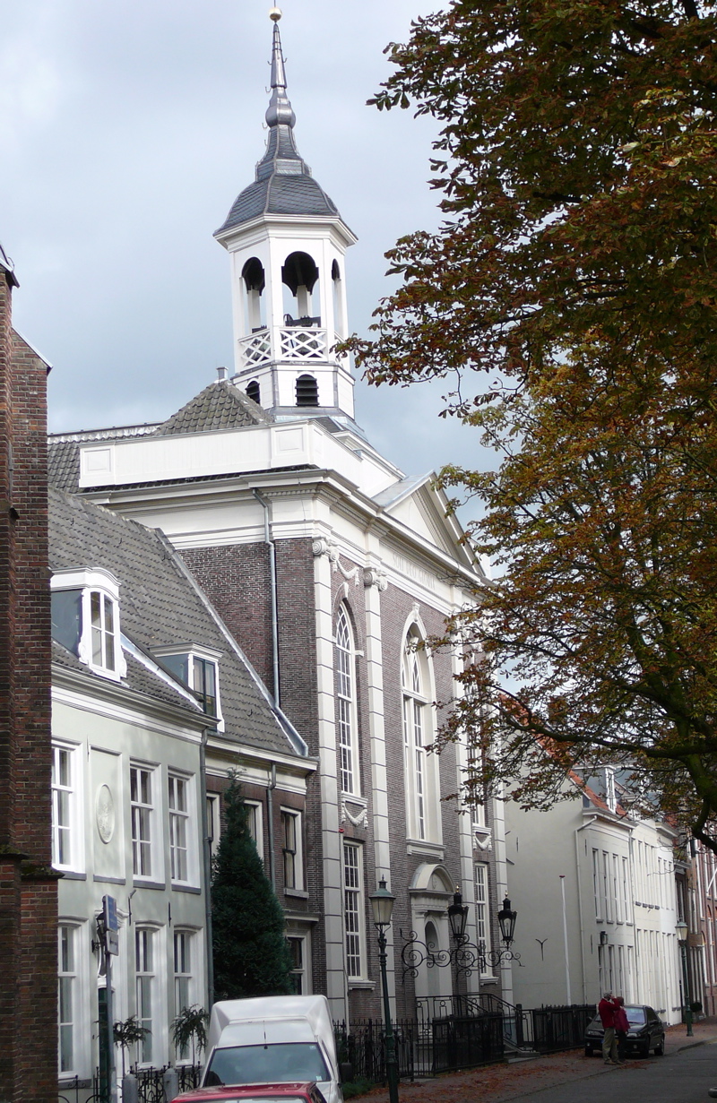
This is an image of
rijksmonument number
8079 Information from structured data: |
Summary
| Description | Church of Saint-Francis Xavier, Amersfoort, the Netherlands |
| Date | |
| Source | L. Blommers, Rhenen |
| Author | L. Blommers |
| Permission ( Reusing this file) |
L. Blommers |
| Object location |
| View this and other nearby images on: OpenStreetMap |
|
|---|
Licensing
| I, the copyright holder of this work, release this work into the
public domain. This applies worldwide. In some countries this may not be legally possible; if so: I grant anyone the right to use this work for any purpose, without any conditions, unless such conditions are required by law. |
File history
Click on a date/time to view the file as it appeared at that time.
| Date/Time | Thumbnail | Dimensions | User | Comment | |
|---|---|---|---|---|---|
| current | 15:27, 7 October 2007 |
| 800 × 1,231 (615 KB) | Luc. | |
| 15:16, 7 October 2007 |
 | 2,560 × 1,920 (2.33 MB) | Luc. | {{Information |Description=Church of Saint-Francis Xavier, Amersfoort, the Netherlands |Source=L. Blommers, Rhenen |Date=October 1st 2007 |Author=L. Blommers |Permission=L. Blommers |other_versions= }} |
File usage
The following pages on the English Wikipedia use this file (pages on other projects are not listed):
Global file usage
The following other wikis use this file:
- Usage on fy.wikipedia.org
- Usage on nl.wikipedia.org
- Usage on www.wikidata.org
Metadata
Size of this preview:
389 × 599 pixels. Other resolutions:
156 × 240 pixels |
312 × 480 pixels.
Original file (800 × 1,231 pixels, file size: 615 KB, MIME type: image/jpeg)
| This is a file from the
Wikimedia Commons. Information from its
description page there is shown below. Commons is a freely licensed media file repository. You can help. |
|
This is an image of
rijksmonument number
8079 Information from structured data: |
Summary
| Description | Church of Saint-Francis Xavier, Amersfoort, the Netherlands |
| Date | |
| Source | L. Blommers, Rhenen |
| Author | L. Blommers |
| Permission ( Reusing this file) |
L. Blommers |
| Object location |
| View this and other nearby images on: OpenStreetMap |
|
|---|
Licensing
| I, the copyright holder of this work, release this work into the
public domain. This applies worldwide. In some countries this may not be legally possible; if so: I grant anyone the right to use this work for any purpose, without any conditions, unless such conditions are required by law. |
File history
Click on a date/time to view the file as it appeared at that time.
| Date/Time | Thumbnail | Dimensions | User | Comment | |
|---|---|---|---|---|---|
| current | 15:27, 7 October 2007 |
| 800 × 1,231 (615 KB) | Luc. | |
| 15:16, 7 October 2007 |
| 2,560 × 1,920 (2.33 MB) | Luc. | {{Information |Description=Church of Saint-Francis Xavier, Amersfoort, the Netherlands |Source=L. Blommers, Rhenen |Date=October 1st 2007 |Author=L. Blommers |Permission=L. Blommers |other_versions= }} |
File usage
The following pages on the English Wikipedia use this file (pages on other projects are not listed):
Global file usage
The following other wikis use this file:
- Usage on fy.wikipedia.org
- Usage on nl.wikipedia.org
- Usage on www.wikidata.org