Photos • Location


Size of this preview:
800 × 578 pixels. Other resolutions:
320 × 231 pixels |
640 × 462 pixels |
1,024 × 739 pixels |
1,353 × 977 pixels.
Original file (1,353 × 977 pixels, file size: 776 KB, MIME type: image/jpeg)
| This is a file from the
Wikimedia Commons. Information from its
description page there is shown below. Commons is a freely licensed media file repository. You can help. |
Summary
| Description |
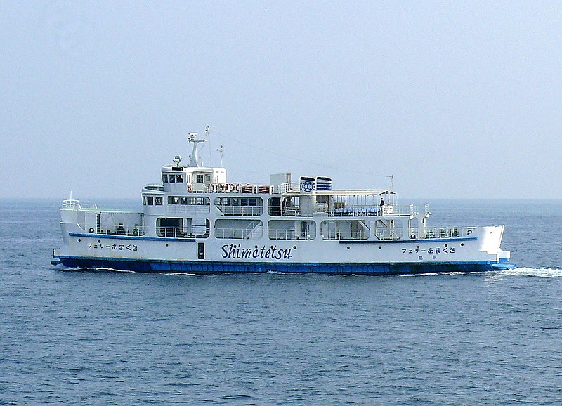
English: Shimatetsu Ferry-Amakusa. (Japan, Nagasaki Prefecture).
日本語: 有明海をゆく
島鉄フェリーの「フェリーあまくさ」。 |
||
| Date | |||
| Source | Own work | ||
| Author | まも(Mamo) | ||
| Permission ( Reusing this file) |
|
| Camera location |
| View this and other nearby images on: OpenStreetMap |
|
|---|
File history
Click on a date/time to view the file as it appeared at that time.
| Date/Time | Thumbnail | Dimensions | User | Comment | |
|---|---|---|---|---|---|
| current | 12:45, 12 April 2010 |
| 1,353 × 977 (776 KB) | まも | == {{int:filedesc}} == {{Information |Description={{en|Shimatetsu Ferry-Amakusa. (Japan, Nagasaki Prefecture).}} {{ja|有明海をゆく 島鉄フェリーの「フェリーあまくさ」。}} |Source= {{en|own work(photographed by [ |
File usage
The following pages on the English Wikipedia use this file (pages on other projects are not listed):
Global file usage
The following other wikis use this file:
- Usage on cs.wikipedia.org
- Usage on el.wikipedia.org
- Usage on ja.wikipedia.org
- Usage on pt.wikipedia.org
- Usage on uk.wikipedia.org
- Usage on vi.wikipedia.org
- Usage on zh.wikipedia.org
Metadata
Size of this preview:
800 × 578 pixels. Other resolutions:
320 × 231 pixels |
640 × 462 pixels |
1,024 × 739 pixels |
1,353 × 977 pixels.
Original file (1,353 × 977 pixels, file size: 776 KB, MIME type: image/jpeg)
| This is a file from the
Wikimedia Commons. Information from its
description page there is shown below. Commons is a freely licensed media file repository. You can help. |
Summary
| Description |
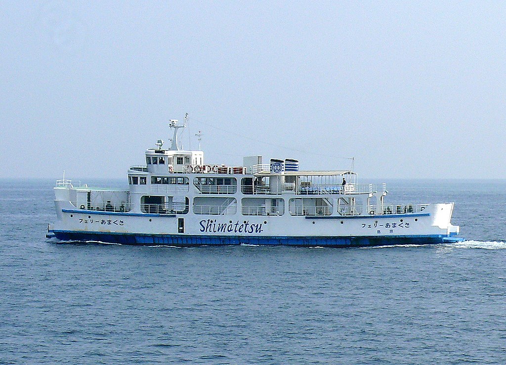
English: Shimatetsu Ferry-Amakusa. (Japan, Nagasaki Prefecture).
日本語: 有明海をゆく
島鉄フェリーの「フェリーあまくさ」。 |
||
| Date | |||
| Source | Own work | ||
| Author | まも(Mamo) | ||
| Permission ( Reusing this file) |
|
| Camera location |
| View this and other nearby images on: OpenStreetMap |
|
|---|
File history
Click on a date/time to view the file as it appeared at that time.
| Date/Time | Thumbnail | Dimensions | User | Comment | |
|---|---|---|---|---|---|
| current | 12:45, 12 April 2010 |
| 1,353 × 977 (776 KB) | まも | == {{int:filedesc}} == {{Information |Description={{en|Shimatetsu Ferry-Amakusa. (Japan, Nagasaki Prefecture).}} {{ja|有明海をゆく 島鉄フェリーの「フェリーあまくさ」。}} |Source= {{en|own work(photographed by [ |
File usage
The following pages on the English Wikipedia use this file (pages on other projects are not listed):
Global file usage
The following other wikis use this file:
- Usage on cs.wikipedia.org
- Usage on el.wikipedia.org
- Usage on ja.wikipedia.org
- Usage on pt.wikipedia.org
- Usage on uk.wikipedia.org
- Usage on vi.wikipedia.org
- Usage on zh.wikipedia.org