Photos • Location


Size of this preview:
400 × 599 pixels. Other resolutions:
160 × 240 pixels |
320 × 480 pixels |
513 × 768 pixels |
1,151 × 1,724 pixels.
Original file (1,151 × 1,724 pixels, file size: 325 KB, MIME type: image/jpeg)
| This is a file from the
Wikimedia Commons. Information from its
description page there is shown below. Commons is a freely licensed media file repository. You can help. |
Summary
| Description |
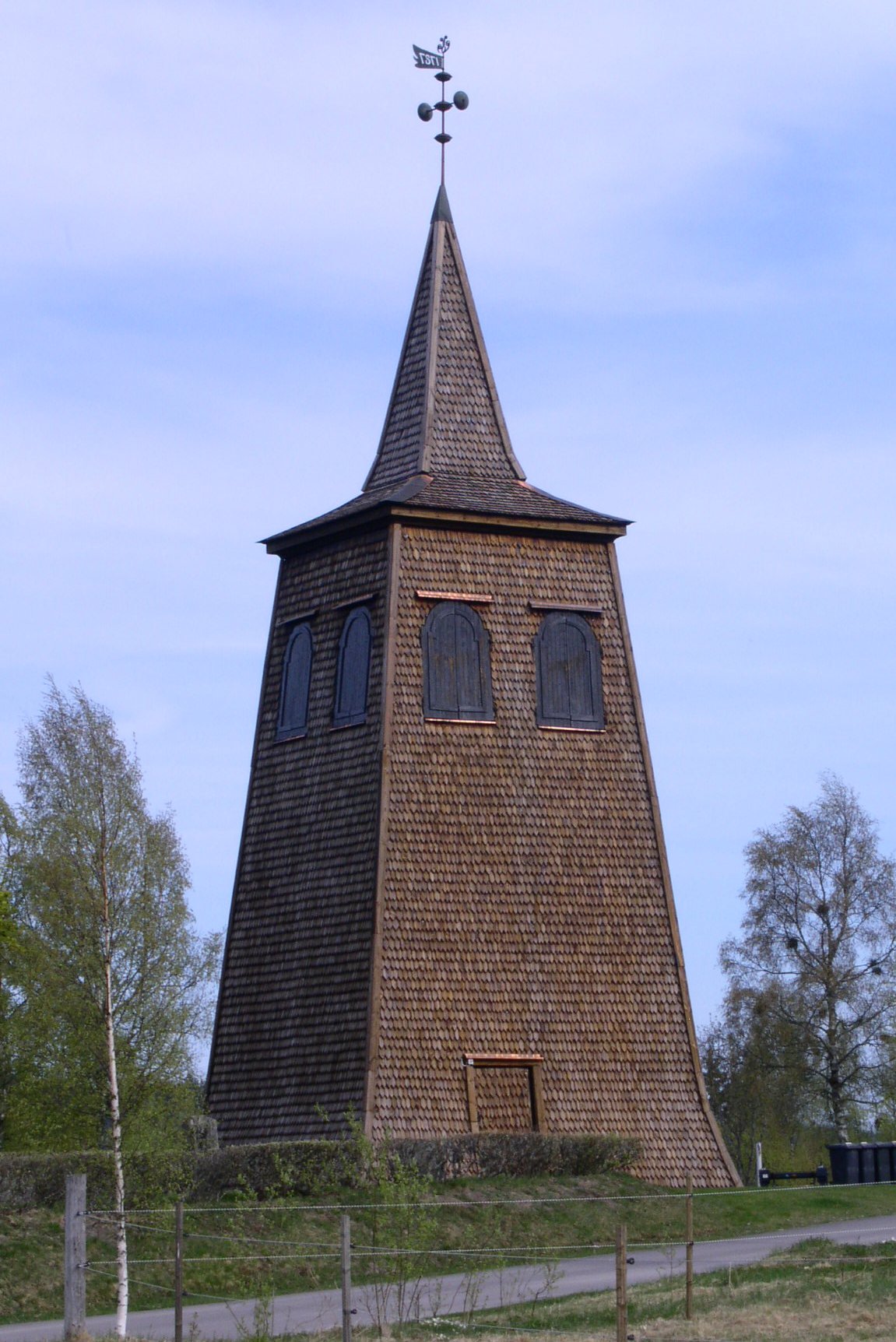
Säfsnäs kyrkas klockstapel
|
||
| Date | |||
| Source | Own work | ||
| Author | Taxelson |
| Camera location | | View this and other nearby images on: OpenStreetMap |
|
|---|
Licensing
| I, the copyright holder of this work, release this work into the
public domain. This applies worldwide. In some countries this may not be legally possible; if so: I grant anyone the right to use this work for any purpose, without any conditions, unless such conditions are required by law. |
File history
Click on a date/time to view the file as it appeared at that time.
| Date/Time | Thumbnail | Dimensions | User | Comment | |
|---|---|---|---|---|---|
| current | 12:29, 16 May 2007 |
| 1,151 × 1,724 (325 KB) | Taxelson | {{Information |Description=Säfsnäs kyrkas klockstapel |Source=self-made |Date=2007 May 6 |Author= Taxelson }} |
File usage
The following pages on the English Wikipedia use this file (pages on other projects are not listed):
Global file usage
The following other wikis use this file:
- Usage on de.wikipedia.org
- Usage on sv.wikipedia.org
Metadata
Size of this preview:
400 × 599 pixels. Other resolutions:
160 × 240 pixels |
320 × 480 pixels |
513 × 768 pixels |
1,151 × 1,724 pixels.
Original file (1,151 × 1,724 pixels, file size: 325 KB, MIME type: image/jpeg)
| This is a file from the
Wikimedia Commons. Information from its
description page there is shown below. Commons is a freely licensed media file repository. You can help. |
Summary
| Description |
Säfsnäs kyrkas klockstapel
|
||
| Date | |||
| Source | Own work | ||
| Author | Taxelson |
| Camera location | | View this and other nearby images on: OpenStreetMap |
|
|---|
Licensing
| I, the copyright holder of this work, release this work into the
public domain. This applies worldwide. In some countries this may not be legally possible; if so: I grant anyone the right to use this work for any purpose, without any conditions, unless such conditions are required by law. |
File history
Click on a date/time to view the file as it appeared at that time.
| Date/Time | Thumbnail | Dimensions | User | Comment | |
|---|---|---|---|---|---|
| current | 12:29, 16 May 2007 |
| 1,151 × 1,724 (325 KB) | Taxelson | {{Information |Description=Säfsnäs kyrkas klockstapel |Source=self-made |Date=2007 May 6 |Author= Taxelson }} |
File usage
The following pages on the English Wikipedia use this file (pages on other projects are not listed):
Global file usage
The following other wikis use this file:
- Usage on de.wikipedia.org
- Usage on sv.wikipedia.org