
Size of this PNG preview of this SVG file:
704 × 599 pixels. Other resolutions:
282 × 240 pixels |
564 × 480 pixels |
902 × 768 pixels |
1,203 × 1,024 pixels |
2,406 × 2,048 pixels |
1,425 × 1,213 pixels.
Original file (SVG file, nominally 1,425 × 1,213 pixels, file size: 1.23 MB)
| This is a file from the
Wikimedia Commons. Information from its
description page there is shown below. Commons is a freely licensed media file repository. You can help. |
| Description | Equirectangular map projection on WGS 84 datum, with N/S stretched 155% |
| Date | |
| Source |
|
| Author | Nilfanion, created using Ordnance Survey data |
| Permission ( Reusing this file) |
This file is licensed under the
Creative Commons
Attribution-Share Alike 3.0 Unported license. Attribution: Contains Ordnance Survey data © Crown copyright and database right
|
File history
Click on a date/time to view the file as it appeared at that time.
| Date/Time | Thumbnail | Dimensions | User | Comment | |
|---|---|---|---|---|---|
| current | 19:35, 27 February 2011 |
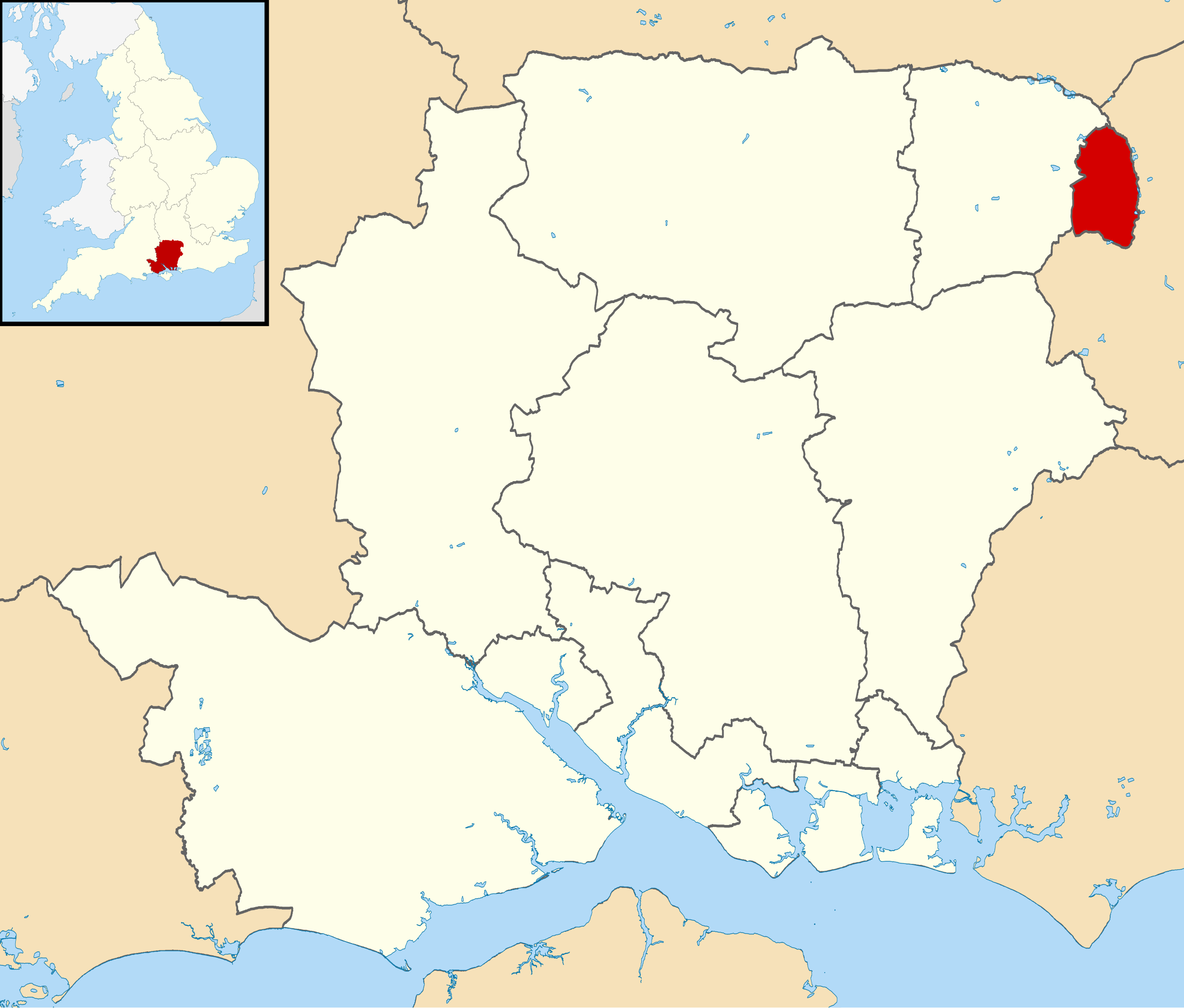
| 1,425 × 1,213 (1.23 MB) | Nilfanion | {{Information |Description=Map of Hampshire, UK with Rushmoor highlighted. Equirectangular map projection on WGS 84 datum, with N/S stretched 155% |Source= Ordnance Survey [https://www.ordnancesurvey.co |
File usage
The following pages on the English Wikipedia use this file (pages on other projects are not listed):
Global file usage
The following other wikis use this file:
- Usage on cy.wikipedia.org
- Usage on es.wikipedia.org
- Usage on fi.wikipedia.org
- Usage on it.wikipedia.org
- Usage on ja.wikipedia.org
- Usage on ko.wikipedia.org
- Usage on lv.wikipedia.org
- Usage on nl.wikipedia.org
- Usage on no.wikipedia.org
- Usage on pl.wikipedia.org
- Usage on ro.wikipedia.org
- Usage on ru.wikipedia.org
- Usage on sh.wikipedia.org
- Usage on sv.wikipedia.org
- Usage on ur.wikipedia.org
- Usage on www.wikidata.org
- Usage on zh-min-nan.wikipedia.org
Size of this PNG preview of this SVG file:
704 × 599 pixels. Other resolutions:
282 × 240 pixels |
564 × 480 pixels |
902 × 768 pixels |
1,203 × 1,024 pixels |
2,406 × 2,048 pixels |
1,425 × 1,213 pixels.
Original file (SVG file, nominally 1,425 × 1,213 pixels, file size: 1.23 MB)
| This is a file from the
Wikimedia Commons. Information from its
description page there is shown below. Commons is a freely licensed media file repository. You can help. |
| Description | Equirectangular map projection on WGS 84 datum, with N/S stretched 155% |
| Date | |
| Source |
|
| Author | Nilfanion, created using Ordnance Survey data |
| Permission ( Reusing this file) |
This file is licensed under the
Creative Commons
Attribution-Share Alike 3.0 Unported license. Attribution: Contains Ordnance Survey data © Crown copyright and database right
|
File history
Click on a date/time to view the file as it appeared at that time.
| Date/Time | Thumbnail | Dimensions | User | Comment | |
|---|---|---|---|---|---|
| current | 19:35, 27 February 2011 |
| 1,425 × 1,213 (1.23 MB) | Nilfanion | {{Information |Description=Map of Hampshire, UK with Rushmoor highlighted. Equirectangular map projection on WGS 84 datum, with N/S stretched 155% |Source= Ordnance Survey [https://www.ordnancesurvey.co |
File usage
The following pages on the English Wikipedia use this file (pages on other projects are not listed):
Global file usage
The following other wikis use this file:
- Usage on cy.wikipedia.org
- Usage on es.wikipedia.org
- Usage on fi.wikipedia.org
- Usage on it.wikipedia.org
- Usage on ja.wikipedia.org
- Usage on ko.wikipedia.org
- Usage on lv.wikipedia.org
- Usage on nl.wikipedia.org
- Usage on no.wikipedia.org
- Usage on pl.wikipedia.org
- Usage on ro.wikipedia.org
- Usage on ru.wikipedia.org
- Usage on sh.wikipedia.org
- Usage on sv.wikipedia.org
- Usage on ur.wikipedia.org
- Usage on www.wikidata.org
- Usage on zh-min-nan.wikipedia.org