Photos • Location


Size of this preview:
786 × 599 pixels. Other resolutions:
315 × 240 pixels |
630 × 480 pixels |
1,007 × 768 pixels |
1,280 × 976 pixels |
2,560 × 1,952 pixels |
3,677 × 2,804 pixels.
Original file (3,677 × 2,804 pixels, file size: 1.82 MB, MIME type: image/jpeg)
| This is a file from the
Wikimedia Commons. Information from its
description page there is shown below. Commons is a freely licensed media file repository. You can help. |
Summary
| Description | |
| Date | Taken on 30 August 2010 |
| Source | Own work |
| Author | Roseohioresident |
| Camera location |
| View this and other nearby images on: OpenStreetMap |
|
|---|
Licensing
| I, the copyright holder of this work, release this work into the
public domain. This applies worldwide. In some countries this may not be legally possible; if so: I grant anyone the right to use this work for any purpose, without any conditions, unless such conditions are required by law. |
File history
Click on a date/time to view the file as it appeared at that time.
| Date/Time | Thumbnail | Dimensions | User | Comment | |
|---|---|---|---|---|---|
| current | 18:19, 28 September 2010 |
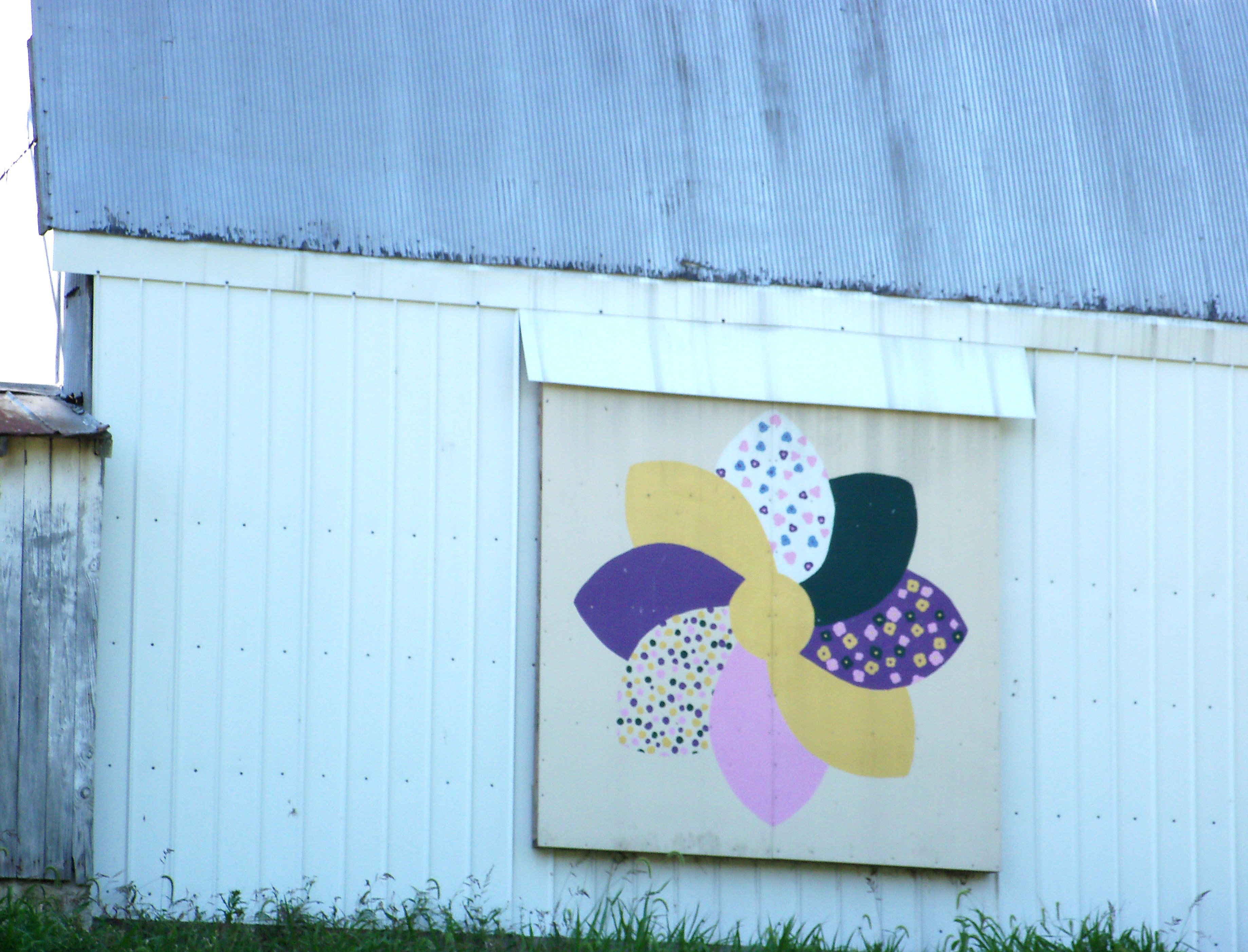
| 3,677 × 2,804 (1.82 MB) | Roseohioresident | {{Information |Description={{en|1=A decorated barn near en:Tappan Lake on en:Ohio State Route 646}} |Source={{own}} |Author= Roseohioresident |Date=2010-08-30 |Permission= |other_versions= }} {{location|40|19|51|N|81|08| |
File usage
The following pages on the English Wikipedia use this file (pages on other projects are not listed):
Global file usage
The following other wikis use this file:
- Usage on es.wikipedia.org
- Usage on eu.wikipedia.org
- Usage on fa.wikipedia.org
- Usage on pt.wikipedia.org
- Usage on vi.wikipedia.org
- Usage on www.wikidata.org
- Usage on zh.wikipedia.org
Metadata
Size of this preview:
786 × 599 pixels. Other resolutions:
315 × 240 pixels |
630 × 480 pixels |
1,007 × 768 pixels |
1,280 × 976 pixels |
2,560 × 1,952 pixels |
3,677 × 2,804 pixels.
Original file (3,677 × 2,804 pixels, file size: 1.82 MB, MIME type: image/jpeg)
| This is a file from the
Wikimedia Commons. Information from its
description page there is shown below. Commons is a freely licensed media file repository. You can help. |
Summary
| Description | |
| Date | Taken on 30 August 2010 |
| Source | Own work |
| Author | Roseohioresident |
| Camera location |
| View this and other nearby images on: OpenStreetMap |
|
|---|
Licensing
| I, the copyright holder of this work, release this work into the
public domain. This applies worldwide. In some countries this may not be legally possible; if so: I grant anyone the right to use this work for any purpose, without any conditions, unless such conditions are required by law. |
File history
Click on a date/time to view the file as it appeared at that time.
| Date/Time | Thumbnail | Dimensions | User | Comment | |
|---|---|---|---|---|---|
| current | 18:19, 28 September 2010 |
| 3,677 × 2,804 (1.82 MB) | Roseohioresident | {{Information |Description={{en|1=A decorated barn near en:Tappan Lake on en:Ohio State Route 646}} |Source={{own}} |Author= Roseohioresident |Date=2010-08-30 |Permission= |other_versions= }} {{location|40|19|51|N|81|08| |
File usage
The following pages on the English Wikipedia use this file (pages on other projects are not listed):
Global file usage
The following other wikis use this file:
- Usage on es.wikipedia.org
- Usage on eu.wikipedia.org
- Usage on fa.wikipedia.org
- Usage on pt.wikipedia.org
- Usage on vi.wikipedia.org
- Usage on www.wikidata.org
- Usage on zh.wikipedia.org