Photos • Location


Size of this preview:
800 × 600 pixels. Other resolutions:
320 × 240 pixels |
640 × 480 pixels |
1,024 × 768 pixels |
1,280 × 960 pixels |
2,560 × 1,920 pixels |
2,816 × 2,112 pixels.
Original file (2,816 × 2,112 pixels, file size: 727 KB, MIME type: image/jpeg)
| This is a file from the
Wikimedia Commons. Information from its
description page there is shown below. Commons is a freely licensed media file repository. You can help. |
Summary
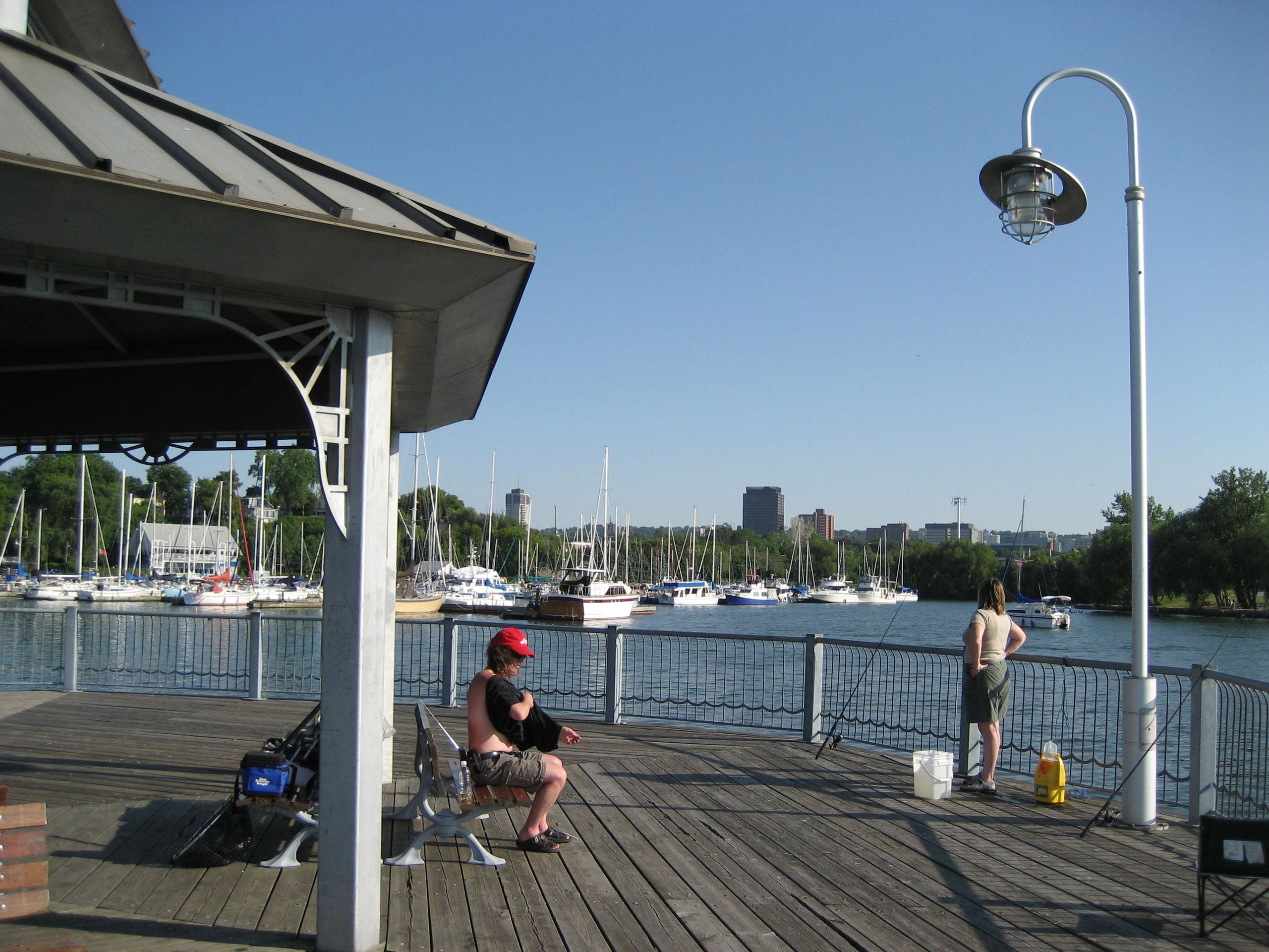
| Description | Pier 4 Park, Boardwalk, Hamilton, Ontario |
| Date | |
| Source | Own work |
| Author | Nhl4hamilton (Rick Cordeiro) |
| Permission ( Reusing this file) |
see free license below |
| Camera location | | View this and other nearby images on: OpenStreetMap |
|
|---|
Licensing
| I, the copyright holder of this work, release this work into the
public domain. This applies worldwide. In some countries this may not be legally possible; if so: I grant anyone the right to use this work for any purpose, without any conditions, unless such conditions are required by law. |
File history
Click on a date/time to view the file as it appeared at that time.
| Date/Time | Thumbnail | Dimensions | User | Comment | |
|---|---|---|---|---|---|
| current | 05:58, 30 October 2007 |
| 2,816 × 2,112 (727 KB) | Nhl4hamilton | {{Information| |Description =Pier 4 Park, Boardwalk, Hamilton, Ontario |Source = own work |Date = June 2007 |Author = Rick Cordeiro |Permission = see free license below }} |
File usage
The following pages on the English Wikipedia use this file (pages on other projects are not listed):
Metadata
Size of this preview:
800 × 600 pixels. Other resolutions:
320 × 240 pixels |
640 × 480 pixels |
1,024 × 768 pixels |
1,280 × 960 pixels |
2,560 × 1,920 pixels |
2,816 × 2,112 pixels.
Original file (2,816 × 2,112 pixels, file size: 727 KB, MIME type: image/jpeg)
| This is a file from the
Wikimedia Commons. Information from its
description page there is shown below. Commons is a freely licensed media file repository. You can help. |
Summary
| Description | Pier 4 Park, Boardwalk, Hamilton, Ontario |
| Date | |
| Source | Own work |
| Author | Nhl4hamilton (Rick Cordeiro) |
| Permission ( Reusing this file) |
see free license below |
| Camera location | | View this and other nearby images on: OpenStreetMap |
|
|---|
Licensing
| I, the copyright holder of this work, release this work into the
public domain. This applies worldwide. In some countries this may not be legally possible; if so: I grant anyone the right to use this work for any purpose, without any conditions, unless such conditions are required by law. |
File history
Click on a date/time to view the file as it appeared at that time.
| Date/Time | Thumbnail | Dimensions | User | Comment | |
|---|---|---|---|---|---|
| current | 05:58, 30 October 2007 |
| 2,816 × 2,112 (727 KB) | Nhl4hamilton | {{Information| |Description =Pier 4 Park, Boardwalk, Hamilton, Ontario |Source = own work |Date = June 2007 |Author = Rick Cordeiro |Permission = see free license below }} |
File usage
The following pages on the English Wikipedia use this file (pages on other projects are not listed):