Photos • Location


Size of this preview:
800 × 369 pixels. Other resolutions:
320 × 148 pixels |
640 × 295 pixels |
1,024 × 473 pixels |
1,280 × 591 pixels |
2,560 × 1,182 pixels |
6,566 × 3,031 pixels.
Original file (6,566 × 3,031 pixels, file size: 18.1 MB, MIME type: image/jpeg)
| This is a file from the
Wikimedia Commons. Information from its
description page there is shown below. Commons is a freely licensed media file repository. You can help. |
Summary
| Description |
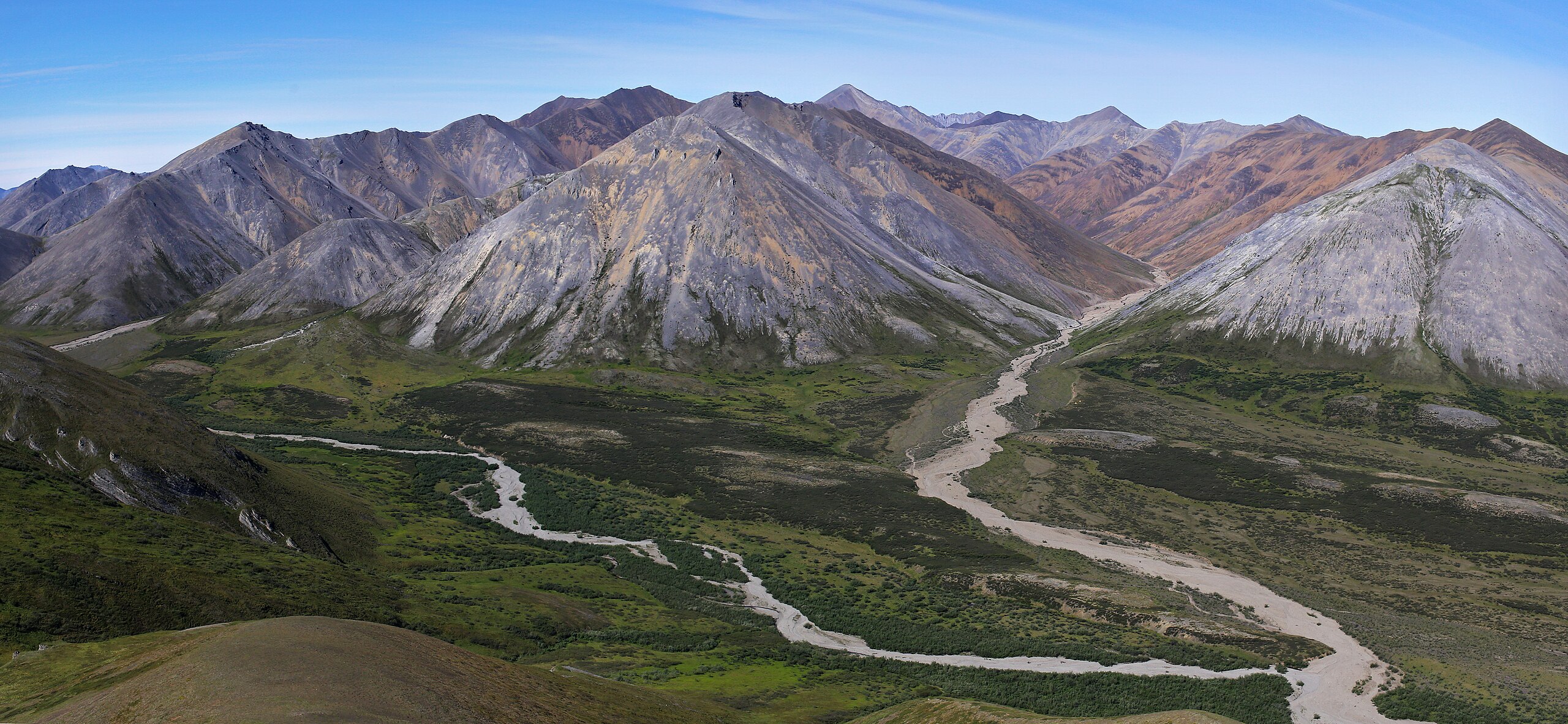
English: Unnamed peaks of the De Long Mountains to the west of Copter Peak. Camera pointed northwest.
NPS Photo\Emily Mesner |
| Date | |
| Source | https://www.flickr.com/photos/nps_wear/31552399571/ |
| Author | Western Arctic National Parklands |
| Camera location |
| View this and other nearby images on: OpenStreetMap |
|
|---|
Licensing
| This image was originally posted to Flickr by Western Arctic National Parklands at https://flickr.com/photos/41585865@N06/31552399571. It was reviewed on 21 November 2023 by FlickreviewR 2 and was confirmed to be licensed under the terms of the Public Domain Mark. |
| This image or media file contains material based on a work of a National Park Service employee, created as part of that person's official duties. As a work of the U.S. federal government, such work is in the public domain in the United States. See the NPS website and NPS copyright policy for more information. |
File history
Click on a date/time to view the file as it appeared at that time.
| Date/Time | Thumbnail | Dimensions | User | Comment | |
|---|---|---|---|---|---|
| current | 10:05, 21 November 2023 |
| 6,566 × 3,031 (18.1 MB) | Ron Clausen | Uploaded a work by Western Arctic National Parklands from https://www.flickr.com/photos/nps_wear/31552399571/ with UploadWizard |
File usage
The following pages on the English Wikipedia use this file (pages on other projects are not listed):
Metadata
Size of this preview:
800 × 369 pixels. Other resolutions:
320 × 148 pixels |
640 × 295 pixels |
1,024 × 473 pixels |
1,280 × 591 pixels |
2,560 × 1,182 pixels |
6,566 × 3,031 pixels.
Original file (6,566 × 3,031 pixels, file size: 18.1 MB, MIME type: image/jpeg)
| This is a file from the
Wikimedia Commons. Information from its
description page there is shown below. Commons is a freely licensed media file repository. You can help. |
Summary
| Description |
English: Unnamed peaks of the De Long Mountains to the west of Copter Peak. Camera pointed northwest.
NPS Photo\Emily Mesner |
| Date | |
| Source | https://www.flickr.com/photos/nps_wear/31552399571/ |
| Author | Western Arctic National Parklands |
| Camera location |
| View this and other nearby images on: OpenStreetMap |
|
|---|
Licensing
| This image was originally posted to Flickr by Western Arctic National Parklands at https://flickr.com/photos/41585865@N06/31552399571. It was reviewed on 21 November 2023 by FlickreviewR 2 and was confirmed to be licensed under the terms of the Public Domain Mark. |
| This image or media file contains material based on a work of a National Park Service employee, created as part of that person's official duties. As a work of the U.S. federal government, such work is in the public domain in the United States. See the NPS website and NPS copyright policy for more information. |
File history
Click on a date/time to view the file as it appeared at that time.
| Date/Time | Thumbnail | Dimensions | User | Comment | |
|---|---|---|---|---|---|
| current | 10:05, 21 November 2023 |
| 6,566 × 3,031 (18.1 MB) | Ron Clausen | Uploaded a work by Western Arctic National Parklands from https://www.flickr.com/photos/nps_wear/31552399571/ with UploadWizard |
File usage
The following pages on the English Wikipedia use this file (pages on other projects are not listed):