Photos • Location


Size of this preview:
800 × 575 pixels. Other resolutions:
320 × 230 pixels |
640 × 460 pixels |
1,024 × 736 pixels |
1,280 × 919 pixels |
2,137 × 1,535 pixels.
Original file (2,137 × 1,535 pixels, file size: 530 KB, MIME type: image/jpeg)
| This is a file from the
Wikimedia Commons. Information from its
description page there is shown below. Commons is a freely licensed media file repository. You can help. |
Summary
| Description |
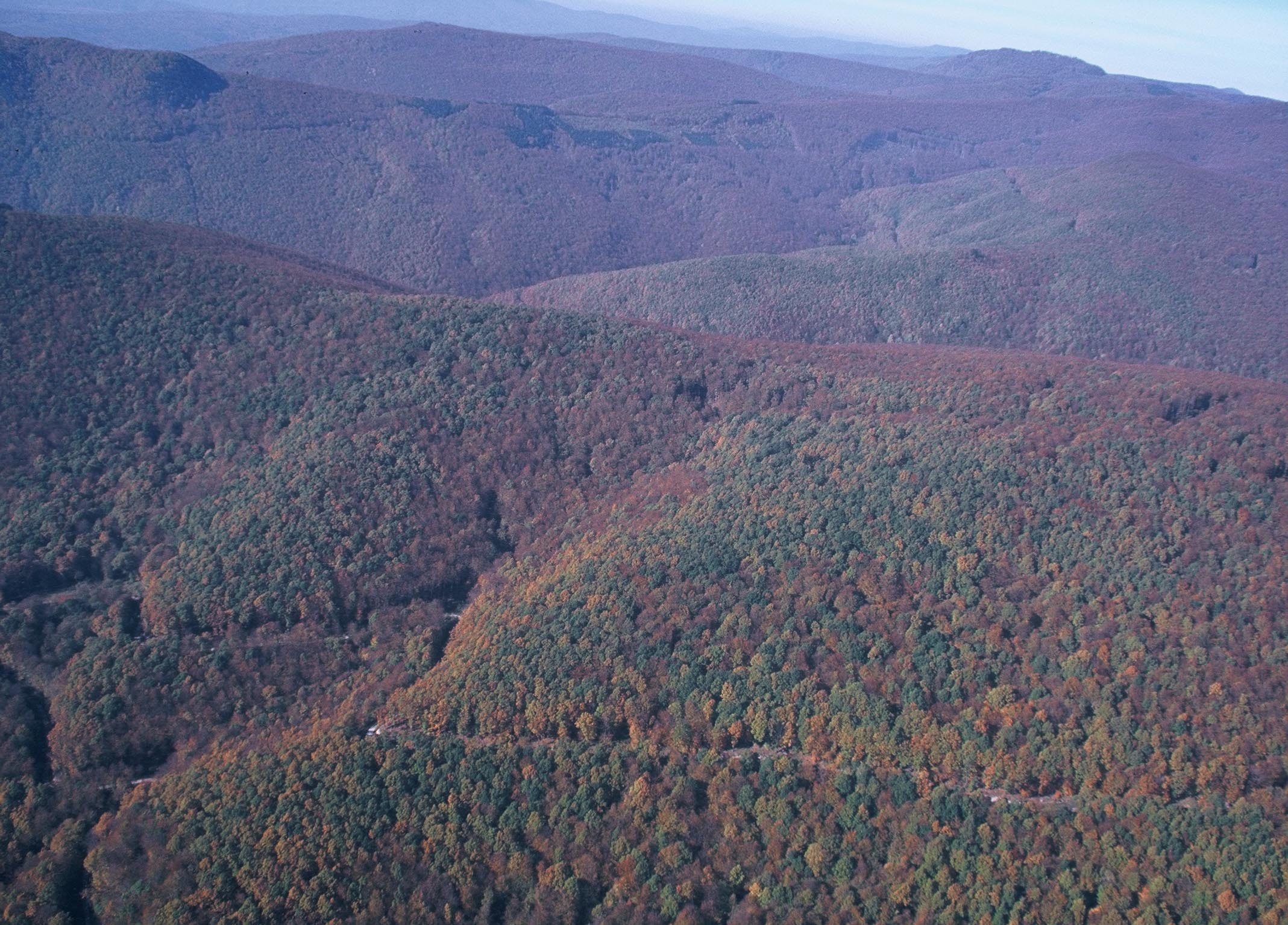
English: Papuk Nature Park from air |
| Date | |
| Source | Own work |
| Author | Gpavic |
| Camera location |
| View this and other nearby images on: OpenStreetMap |
|
|---|
Licensing
| I, the copyright holder of this work, release this work into the
public domain. This applies worldwide. In some countries this may not be legally possible; if so: I grant anyone the right to use this work for any purpose, without any conditions, unless such conditions are required by law. |
File history
Click on a date/time to view the file as it appeared at that time.
| Date/Time | Thumbnail | Dimensions | User | Comment | |
|---|---|---|---|---|---|
| current | 09:20, 24 October 2008 |
| 2,137 × 1,535 (530 KB) | Gpavic | {{Information |Description={{en|1=Papuk Nature Park from air}} |Source=Own work by uploader |Author= Gpavic |Date=28.3.2002. |Permission= |other_versions= }} Location|45|31|41.8|N|17|39|21.8|E <!--{{ImageUpload|full}}--> |
File usage
The following pages on the English Wikipedia use this file (pages on other projects are not listed):
Global file usage
The following other wikis use this file:
- Usage on ar.wikipedia.org
- Usage on es.wikipedia.org
- Usage on et.wikipedia.org
- Usage on hr.wikipedia.org
- Usage on ja.wikipedia.org
- Usage on nl.wikipedia.org
- Usage on pl.wikivoyage.org
- Usage on ru.wikipedia.org
- Usage on sl.wikipedia.org
- Usage on sr.wikipedia.org
Size of this preview:
800 × 575 pixels. Other resolutions:
320 × 230 pixels |
640 × 460 pixels |
1,024 × 736 pixels |
1,280 × 919 pixels |
2,137 × 1,535 pixels.
Original file (2,137 × 1,535 pixels, file size: 530 KB, MIME type: image/jpeg)
| This is a file from the
Wikimedia Commons. Information from its
description page there is shown below. Commons is a freely licensed media file repository. You can help. |
Summary
| Description |
English: Papuk Nature Park from air |
| Date | |
| Source | Own work |
| Author | Gpavic |
| Camera location |
| View this and other nearby images on: OpenStreetMap |
|
|---|
Licensing
| I, the copyright holder of this work, release this work into the
public domain. This applies worldwide. In some countries this may not be legally possible; if so: I grant anyone the right to use this work for any purpose, without any conditions, unless such conditions are required by law. |
File history
Click on a date/time to view the file as it appeared at that time.
| Date/Time | Thumbnail | Dimensions | User | Comment | |
|---|---|---|---|---|---|
| current | 09:20, 24 October 2008 |
| 2,137 × 1,535 (530 KB) | Gpavic | {{Information |Description={{en|1=Papuk Nature Park from air}} |Source=Own work by uploader |Author= Gpavic |Date=28.3.2002. |Permission= |other_versions= }} Location|45|31|41.8|N|17|39|21.8|E <!--{{ImageUpload|full}}--> |
File usage
The following pages on the English Wikipedia use this file (pages on other projects are not listed):
Global file usage
The following other wikis use this file:
- Usage on ar.wikipedia.org
- Usage on es.wikipedia.org
- Usage on et.wikipedia.org
- Usage on hr.wikipedia.org
- Usage on ja.wikipedia.org
- Usage on nl.wikipedia.org
- Usage on pl.wikivoyage.org
- Usage on ru.wikipedia.org
- Usage on sl.wikipedia.org
- Usage on sr.wikipedia.org