
Size of this PNG preview of this SVG file:
696 × 600 pixels. Other resolutions:
279 × 240 pixels |
557 × 480 pixels |
891 × 768 pixels |
1,188 × 1,024 pixels |
2,376 × 2,048 pixels |
1,000 × 862 pixels.
Original file (SVG file, nominally 1,000 × 862 pixels, file size: 2.35 MB)
| This is a file from the
Wikimedia Commons. Information from its
description page there is shown below. Commons is a freely licensed media file repository. You can help. |
Summary
| Description |
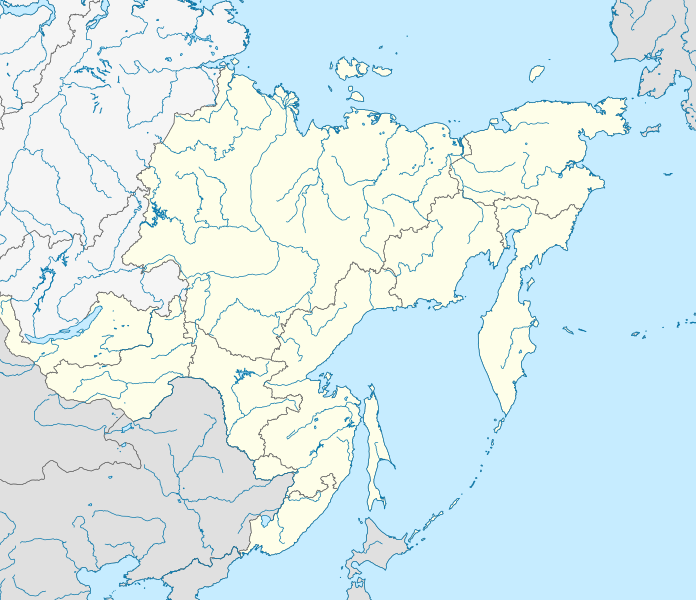
Русский: Позиционная карта Дальневосточного федерального округа
x = {{#expr: 50 + 143.2394488 * (1.623081485 - ({{{2}}}*pi / 180)) * sin(0.864926629 * ({{{1}}} - 140) * pi / 180) * 0.862}}
y = {{#expr: 50 - 143.2394488 * (0.575883933 - (1.623081485 - ({{{2}}}*pi / 180)) * cos(0.864926629 * ({{{1}}} - 140) * pi / 180))}}
|
||||||||
| Date | |||||||||
| Source |
Own work This W3C-unspecified
vector image was created with
Inkscape .
|
||||||||
| Author | |||||||||
| Other versions |
|


Licensing
| I, the copyright holder of this work, release this work into the
public domain. This applies worldwide. In some countries this may not be legally possible; if so: I grant anyone the right to use this work for any purpose, without any conditions, unless such conditions are required by law. |
File history
Click on a date/time to view the file as it appeared at that time.
| Date/Time | Thumbnail | Dimensions | User | Comment | |
|---|---|---|---|---|---|
| current | 19:05, 9 February 2019 |
| 1,000 × 862 (2.35 MB) | Brateevsky | Забайкальский край + Бурятия |
| 14:30, 16 October 2010 |
 | 1,000 × 862 (2.35 MB) | Виктор В | == {{int:filedesc}} == {{Information |Description={{ru|1=Позиционная карта Дальневосточного федерального округа * Проекция — коническая равнопромежуточная. ** перв |
File usage
The following pages on the English Wikipedia use this file (pages on other projects are not listed):
- 1993 Russian Top League
- 2014 Winter Paralympics torch relay
- Far Eastern Federal District
- Federal districts of Russia
- Khada Bulak
- List of earthquakes in Russia
- Olyutor Peninsula
- Schmidt Peninsula (Sakhalin)
- Tofalariya
- Ukkurey (air base)
- Yeniseysk-15
- Talk:Sinking of Dalniy Vostok
- Module:Location map/data/Russia Far Eastern Federal District
- Module:Location map/data/Russia Far Eastern Federal District/doc
Global file usage
The following other wikis use this file:
- Usage on ar.wikipedia.org
- Usage on az.wikipedia.org
- Usage on ba.wikipedia.org
- Usage on be.wikipedia.org
- Usage on bg.wikipedia.org
- Usage on bxr.wikipedia.org
- Usage on ceb.wikipedia.org
- Usage on ce.wikipedia.org
- Usage on cs.wikipedia.org
- Usage on da.wikipedia.org
- Usage on de.wikipedia.org
- Usage on eo.wikipedia.org
- Usage on es.wikipedia.org
- Usage on et.wikipedia.org
View more global usage of this file.
Metadata
Size of this PNG preview of this SVG file:
696 × 600 pixels. Other resolutions:
279 × 240 pixels |
557 × 480 pixels |
891 × 768 pixels |
1,188 × 1,024 pixels |
2,376 × 2,048 pixels |
1,000 × 862 pixels.
Original file (SVG file, nominally 1,000 × 862 pixels, file size: 2.35 MB)
| This is a file from the
Wikimedia Commons. Information from its
description page there is shown below. Commons is a freely licensed media file repository. You can help. |
Summary
| Description |
Русский: Позиционная карта Дальневосточного федерального округа
x = {{#expr: 50 + 143.2394488 * (1.623081485 - ({{{2}}}*pi / 180)) * sin(0.864926629 * ({{{1}}} - 140) * pi / 180) * 0.862}}
y = {{#expr: 50 - 143.2394488 * (0.575883933 - (1.623081485 - ({{{2}}}*pi / 180)) * cos(0.864926629 * ({{{1}}} - 140) * pi / 180))}}
|
||||||||
| Date | |||||||||
| Source |
Own work This W3C-unspecified
vector image was created with
Inkscape .
|
||||||||
| Author | |||||||||
| Other versions |
|
Licensing
| I, the copyright holder of this work, release this work into the
public domain. This applies worldwide. In some countries this may not be legally possible; if so: I grant anyone the right to use this work for any purpose, without any conditions, unless such conditions are required by law. |
File history
Click on a date/time to view the file as it appeared at that time.
| Date/Time | Thumbnail | Dimensions | User | Comment | |
|---|---|---|---|---|---|
| current | 19:05, 9 February 2019 |
| 1,000 × 862 (2.35 MB) | Brateevsky | Забайкальский край + Бурятия |
| 14:30, 16 October 2010 |
| 1,000 × 862 (2.35 MB) | Виктор В | == {{int:filedesc}} == {{Information |Description={{ru|1=Позиционная карта Дальневосточного федерального округа * Проекция — коническая равнопромежуточная. ** перв |
File usage
The following pages on the English Wikipedia use this file (pages on other projects are not listed):
- 1993 Russian Top League
- 2014 Winter Paralympics torch relay
- Far Eastern Federal District
- Federal districts of Russia
- Khada Bulak
- List of earthquakes in Russia
- Olyutor Peninsula
- Schmidt Peninsula (Sakhalin)
- Tofalariya
- Ukkurey (air base)
- Yeniseysk-15
- Talk:Sinking of Dalniy Vostok
- Module:Location map/data/Russia Far Eastern Federal District
- Module:Location map/data/Russia Far Eastern Federal District/doc
Global file usage
The following other wikis use this file:
- Usage on ar.wikipedia.org
- Usage on az.wikipedia.org
- Usage on ba.wikipedia.org
- Usage on be.wikipedia.org
- Usage on bg.wikipedia.org
- Usage on bxr.wikipedia.org
- Usage on ceb.wikipedia.org
- Usage on ce.wikipedia.org
- Usage on cs.wikipedia.org
- Usage on da.wikipedia.org
- Usage on de.wikipedia.org
- Usage on eo.wikipedia.org
- Usage on es.wikipedia.org
- Usage on et.wikipedia.org
View more global usage of this file.