Photos • Location


Size of this preview:
800 × 532 pixels. Other resolutions:
320 × 213 pixels |
640 × 426 pixels |
1,024 × 681 pixels |
1,280 × 851 pixels |
2,560 × 1,702 pixels |
6,016 × 4,000 pixels.
Original file (6,016 × 4,000 pixels, file size: 6.45 MB, MIME type: image/jpeg)
| This is a file from the
Wikimedia Commons. Information from its
description page there is shown below. Commons is a freely licensed media file repository. You can help. |
| Camera location |
| View this and other nearby images on: OpenStreetMap |
|
|---|
| Description |
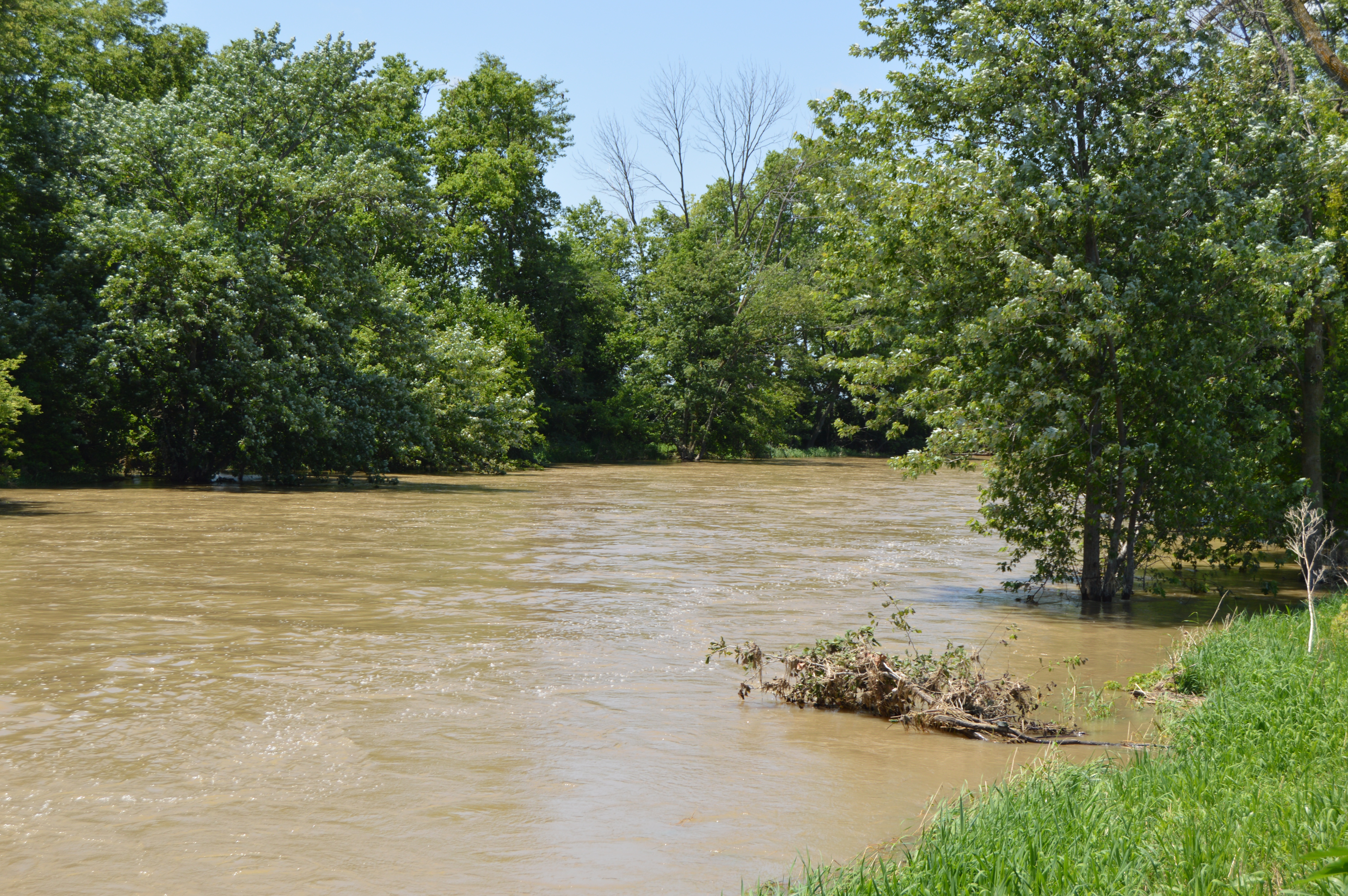
English: Looking northwest (downstream) along the
Ottawa River from
State Route 189 at
Rimer in
Sugar Creek Township,
Putnam County,
Ohio,
United States. The river is experiencing flooding following weeks of sustained rainfall. |
||
| Date | Taken on 15 July 2015 | ||
| Source | Own work | ||
| Author | Nyttend | ||
| Permission ( Reusing this file) |
|
File history
Click on a date/time to view the file as it appeared at that time.
| Date/Time | Thumbnail | Dimensions | User | Comment | |
|---|---|---|---|---|---|
| current | 00:20, 20 July 2015 |
| 6,016 × 4,000 (6.45 MB) | Nyttend | {{Location|40|52|52|N|84|12|34|W}} {{Information |Description={{en|Looking northwest (downstream) along the {{w|Ottawa River (Auglaize River)|Ottawa River}} from {{w|Ohio State Route 189|State Route 189}} at {{w|Rimer, Ohio|Rimer}} in {{w|Sugar Creek T... |
File usage
The following pages on the English Wikipedia use this file (pages on other projects are not listed):
Global file usage
The following other wikis use this file:
- Usage on arz.wikipedia.org
Metadata
Size of this preview:
800 × 532 pixels. Other resolutions:
320 × 213 pixels |
640 × 426 pixels |
1,024 × 681 pixels |
1,280 × 851 pixels |
2,560 × 1,702 pixels |
6,016 × 4,000 pixels.
Original file (6,016 × 4,000 pixels, file size: 6.45 MB, MIME type: image/jpeg)
| This is a file from the
Wikimedia Commons. Information from its
description page there is shown below. Commons is a freely licensed media file repository. You can help. |
| Camera location |
| View this and other nearby images on: OpenStreetMap |
|
|---|
| Description |
English: Looking northwest (downstream) along the
Ottawa River from
State Route 189 at
Rimer in
Sugar Creek Township,
Putnam County,
Ohio,
United States. The river is experiencing flooding following weeks of sustained rainfall. |
||
| Date | Taken on 15 July 2015 | ||
| Source | Own work | ||
| Author | Nyttend | ||
| Permission ( Reusing this file) |
|
File history
Click on a date/time to view the file as it appeared at that time.
| Date/Time | Thumbnail | Dimensions | User | Comment | |
|---|---|---|---|---|---|
| current | 00:20, 20 July 2015 |
| 6,016 × 4,000 (6.45 MB) | Nyttend | {{Location|40|52|52|N|84|12|34|W}} {{Information |Description={{en|Looking northwest (downstream) along the {{w|Ottawa River (Auglaize River)|Ottawa River}} from {{w|Ohio State Route 189|State Route 189}} at {{w|Rimer, Ohio|Rimer}} in {{w|Sugar Creek T... |
File usage
The following pages on the English Wikipedia use this file (pages on other projects are not listed):
Global file usage
The following other wikis use this file:
- Usage on arz.wikipedia.org