Photos • Location


Size of this preview:
799 × 360 pixels. Other resolutions:
320 × 144 pixels |
640 × 288 pixels |
1,194 × 538 pixels.
Original file (1,194 × 538 pixels, file size: 379 KB, MIME type: image/jpeg)
| This is a file from the
Wikimedia Commons. Information from its
description page there is shown below. Commons is a freely licensed media file repository. You can help. |
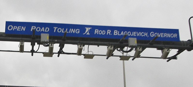
| Description | Open Road Tolling |
| Date | |
| Source | Open Road Tolling |
| Author | Tony Webster from Portland, Oregon, United States |
| Other versions |
.jpg)
_(cropped).jpg)
| Camera location |
| View this and other nearby images on: OpenStreetMap |
|
|---|
_(cropped).jpg¶ms=042.156682_N_-088.554525_E_globe:Earth_type:camera_source:Flickr_&language=en)
Licensing
This file is licensed under the
Creative Commons
Attribution 2.0 Generic license.
- You are free:
- to share – to copy, distribute and transmit the work
- to remix – to adapt the work
- Under the following conditions:
- attribution – You must give appropriate credit, provide a link to the license, and indicate if changes were made. You may do so in any reasonable manner, but not in any way that suggests the licensor endorses you or your use.
File history
Click on a date/time to view the file as it appeared at that time.
| Date/Time | Thumbnail | Dimensions | User | Comment | |
|---|---|---|---|---|---|
| current | 17:02, 19 February 2020 |
| 1,194 × 538 (379 KB) | SecretName101 | File:Open Road Tolling (2424376140).jpg cropped 56 % horizontally, 68 % vertically using CropTool with precise mode. |
.jpg)
File usage
The following pages on the English Wikipedia use this file (pages on other projects are not listed):
Global file usage
The following other wikis use this file:
- Usage on he.wikipedia.org
Metadata
_(cropped).jpg)
Size of this preview:
799 × 360 pixels. Other resolutions:
320 × 144 pixels |
640 × 288 pixels |
1,194 × 538 pixels.
Original file (1,194 × 538 pixels, file size: 379 KB, MIME type: image/jpeg)
| This is a file from the
Wikimedia Commons. Information from its
description page there is shown below. Commons is a freely licensed media file repository. You can help. |
| Description | Open Road Tolling |
| Date | |
| Source | Open Road Tolling |
| Author | Tony Webster from Portland, Oregon, United States |
| Other versions |
| Camera location |
| View this and other nearby images on: OpenStreetMap |
|
|---|
Licensing
This file is licensed under the
Creative Commons
Attribution 2.0 Generic license.
- You are free:
- to share – to copy, distribute and transmit the work
- to remix – to adapt the work
- Under the following conditions:
- attribution – You must give appropriate credit, provide a link to the license, and indicate if changes were made. You may do so in any reasonable manner, but not in any way that suggests the licensor endorses you or your use.
File history
Click on a date/time to view the file as it appeared at that time.
| Date/Time | Thumbnail | Dimensions | User | Comment | |
|---|---|---|---|---|---|
| current | 17:02, 19 February 2020 |
| 1,194 × 538 (379 KB) | SecretName101 | File:Open Road Tolling (2424376140).jpg cropped 56 % horizontally, 68 % vertically using CropTool with precise mode. |
File usage
The following pages on the English Wikipedia use this file (pages on other projects are not listed):
Global file usage
The following other wikis use this file:
- Usage on he.wikipedia.org