
Original file (6,972 × 5,922 pixels, file size: 3.66 MB, MIME type: image/jpeg)
Summary
| Description |
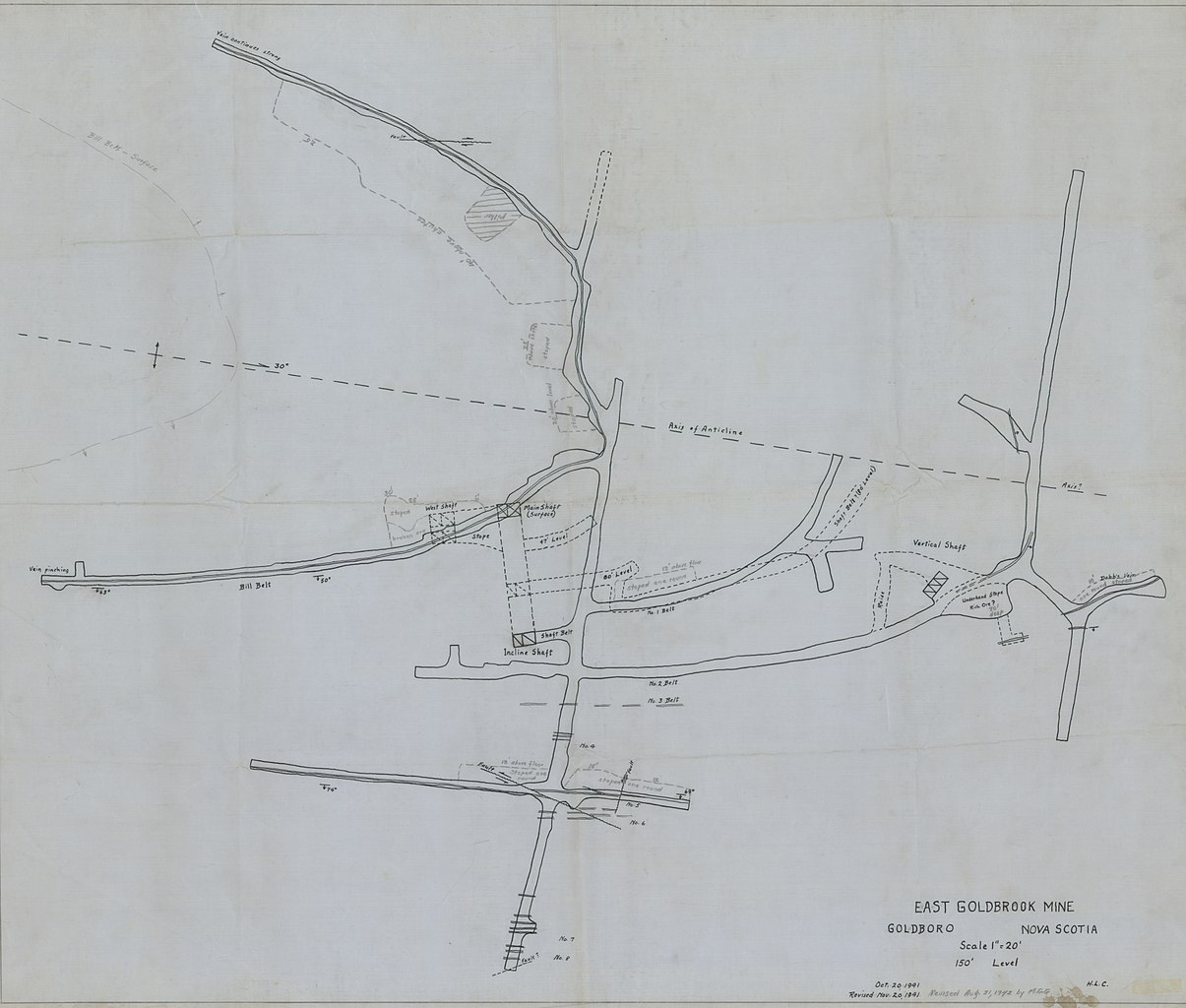
"East Goldbrook Mine Plan 150' Level". | ||
|---|---|---|---|
| Source |
http://www.gov.ns.ca/NATR/MEB/data/mapgallery/ofm/jpg/ofm_1942-001_200_cln.jpg. Retrieved 6 August 2010. | ||
| Date | |||
| Author |
| ||
| Permission ( Reusing this file) |
See below.
|
Licensing
This
Canadian work is in the
public domain in Canada because its copyright has expired for one of the following reasons:
A more exhaustive listing of terms of copyright and permitted exceptions, by type of work, may be found at the Toronto Archives' Copyright guidelines for researchers The media description page should identify which reason applies. | ||||||||||||||||||||||||||
| ||||||||||||||||||||||||||

Licensing
This image is in the
public domain in the United States because
|
|
This file is believed to be out of copyright in its home country, as well as the US. If this is confirmed when checked, it should be transferred to Wikimedia Commons, unless the file is tagged {{ Keep Local}}
File history
Click on a date/time to view the file as it appeared at that time.
| Date/Time | Thumbnail | Dimensions | User | Comment | |
|---|---|---|---|---|---|
| current | 03:52, 16 August 2010 |
| 6,972 × 5,922 (3.66 MB) | Yhzsailor ( talk | contribs) | "East Goldbrook Mine Plan 150' Level". http://www.gov.ns.ca/NATR/MEB/data/mapgallery/ofm/jpg/ofm_1942-001_200_cln.jpg. Retrieved 6 August 2010. |
You cannot overwrite this file.
File usage
Metadata
Original file (6,972 × 5,922 pixels, file size: 3.66 MB, MIME type: image/jpeg)
Summary
| Description |
"East Goldbrook Mine Plan 150' Level". | ||
|---|---|---|---|
| Source |
http://www.gov.ns.ca/NATR/MEB/data/mapgallery/ofm/jpg/ofm_1942-001_200_cln.jpg. Retrieved 6 August 2010. | ||
| Date | |||
| Author |
| ||
| Permission ( Reusing this file) |
See below.
|
Licensing
This
Canadian work is in the
public domain in Canada because its copyright has expired for one of the following reasons:
A more exhaustive listing of terms of copyright and permitted exceptions, by type of work, may be found at the Toronto Archives' Copyright guidelines for researchers The media description page should identify which reason applies. | ||||||||||||||||||||||||||
| ||||||||||||||||||||||||||
Licensing
This image is in the
public domain in the United States because
|
|
This file is believed to be out of copyright in its home country, as well as the US. If this is confirmed when checked, it should be transferred to Wikimedia Commons, unless the file is tagged {{ Keep Local}}
File history
Click on a date/time to view the file as it appeared at that time.
| Date/Time | Thumbnail | Dimensions | User | Comment | |
|---|---|---|---|---|---|
| current | 03:52, 16 August 2010 |
| 6,972 × 5,922 (3.66 MB) | Yhzsailor ( talk | contribs) | "East Goldbrook Mine Plan 150' Level". http://www.gov.ns.ca/NATR/MEB/data/mapgallery/ofm/jpg/ofm_1942-001_200_cln.jpg. Retrieved 6 August 2010. |
You cannot overwrite this file.