Size of this preview:
370 × 599 pixels. Other resolutions:
148 × 240 pixels |
296 × 480 pixels |
944 × 1,528 pixels.
Original file (944 × 1,528 pixels, file size: 616 KB, MIME type: image/png)
| This is a file from the
Wikimedia Commons. Information from its
description page there is shown below. Commons is a freely licensed media file repository. You can help. |
Summary
| Description |
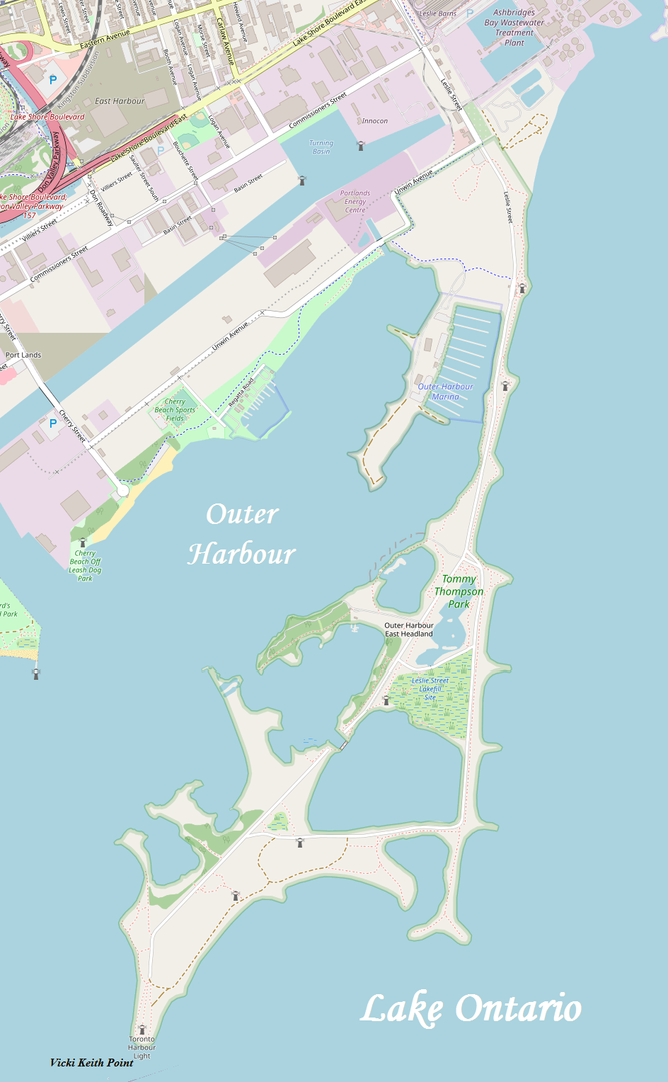
English: A map of Toronto's Outer Harbour East Headland, more commonly known as the Leslie Street Spit |
| Date | |
| Source | http://www.openstreetmap.org/ |
| Author | OpenStreetMap, modified by Kelisi |
| Permission ( Reusing this file) |
The aforesaid website is freely usable to all. |
Licensing
| I, the copyright holder of this work, release this work into the
public domain. This applies worldwide. In some countries this may not be legally possible; if so: I grant anyone the right to use this work for any purpose, without any conditions, unless such conditions are required by law. |
File history
Click on a date/time to view the file as it appeared at that time.
| Date/Time | Thumbnail | Dimensions | User | Comment | |
|---|---|---|---|---|---|
| current | 20:21, 12 June 2020 |
| 944 × 1,528 (616 KB) | Kelisi | Colours changed somewhat, more detail, more up to date — same source, though. |
| 15:03, 9 March 2009 |
 | 858 × 1,336 (132 KB) | Kelisi | Same licence, same authorship. Slight misalignment in stitching corrected. | |
| 06:59, 8 March 2009 |
 | 859 × 1,336 (132 KB) | Kelisi | {{Information |Description={{en|1=A map of Toronto's Outer Harbour East Headland, more commonly known as the Leslie Street Spit}} |Source=http://www.openstreetmap.org/ |Author=OpenStreetMap, modified by Kelisi |Date=2009-03-08 |Permission=The aforesaid we |
File usage
The following pages on the English Wikipedia use this file (pages on other projects are not listed):
Metadata
Size of this preview:
370 × 599 pixels. Other resolutions:
148 × 240 pixels |
296 × 480 pixels |
944 × 1,528 pixels.
Original file (944 × 1,528 pixels, file size: 616 KB, MIME type: image/png)
| This is a file from the
Wikimedia Commons. Information from its
description page there is shown below. Commons is a freely licensed media file repository. You can help. |
Summary
| Description |
English: A map of Toronto's Outer Harbour East Headland, more commonly known as the Leslie Street Spit |
| Date | |
| Source | http://www.openstreetmap.org/ |
| Author | OpenStreetMap, modified by Kelisi |
| Permission ( Reusing this file) |
The aforesaid website is freely usable to all. |
Licensing
| I, the copyright holder of this work, release this work into the
public domain. This applies worldwide. In some countries this may not be legally possible; if so: I grant anyone the right to use this work for any purpose, without any conditions, unless such conditions are required by law. |
File history
Click on a date/time to view the file as it appeared at that time.
| Date/Time | Thumbnail | Dimensions | User | Comment | |
|---|---|---|---|---|---|
| current | 20:21, 12 June 2020 |
| 944 × 1,528 (616 KB) | Kelisi | Colours changed somewhat, more detail, more up to date — same source, though. |
| 15:03, 9 March 2009 |
| 858 × 1,336 (132 KB) | Kelisi | Same licence, same authorship. Slight misalignment in stitching corrected. | |
| 06:59, 8 March 2009 |
| 859 × 1,336 (132 KB) | Kelisi | {{Information |Description={{en|1=A map of Toronto's Outer Harbour East Headland, more commonly known as the Leslie Street Spit}} |Source=http://www.openstreetmap.org/ |Author=OpenStreetMap, modified by Kelisi |Date=2009-03-08 |Permission=The aforesaid we |
File usage
The following pages on the English Wikipedia use this file (pages on other projects are not listed):