Photos • Location


Size of this preview:
800 × 600 pixels. Other resolutions:
320 × 240 pixels |
640 × 480 pixels |
1,024 × 768 pixels |
1,280 × 960 pixels |
2,272 × 1,704 pixels.
Original file (2,272 × 1,704 pixels, file size: 1.48 MB, MIME type: image/jpeg)
| This is a file from the
Wikimedia Commons. Information from its
description page there is shown below. Commons is a freely licensed media file repository. You can help. |
| Camera location |
| View this and other nearby images on: OpenStreetMap |
|
|---|
| Description |
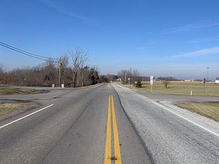
English: Along northbound
State Route 638 at
Northwood, an
unincorporated community on the border between
McArthur and
Richland townships in northern
Logan County,
Ohio,
United States. |
||
| Date | Taken on 3 January 2007 | ||
| Source | Own work | ||
| Author | Nyttend | ||
| Permission ( Reusing this file) |
|
File history
Click on a date/time to view the file as it appeared at that time.
| Date/Time | Thumbnail | Dimensions | User | Comment | |
|---|---|---|---|---|---|
| current | 20:45, 3 January 2007 |
| 2,272 × 1,704 (1.48 MB) | Nyttend | Picture along [http://en.wikipedia.org/wiki/Ohio_State_Route_638 Ohio State Route 638] at [http://en.wikipedia.org/wiki/Northwood%2C_Logan_County%2C_Ohio Northwood]. Picture taken by [http://en.wikipedia.org/wiki/User:Nyttend Nyttend] on 3 January 2007. |
File usage
The following pages on the English Wikipedia use this file (pages on other projects are not listed):
Metadata
Size of this preview:
800 × 600 pixels. Other resolutions:
320 × 240 pixels |
640 × 480 pixels |
1,024 × 768 pixels |
1,280 × 960 pixels |
2,272 × 1,704 pixels.
Original file (2,272 × 1,704 pixels, file size: 1.48 MB, MIME type: image/jpeg)
| This is a file from the
Wikimedia Commons. Information from its
description page there is shown below. Commons is a freely licensed media file repository. You can help. |
| Camera location |
| View this and other nearby images on: OpenStreetMap |
|
|---|
| Description |
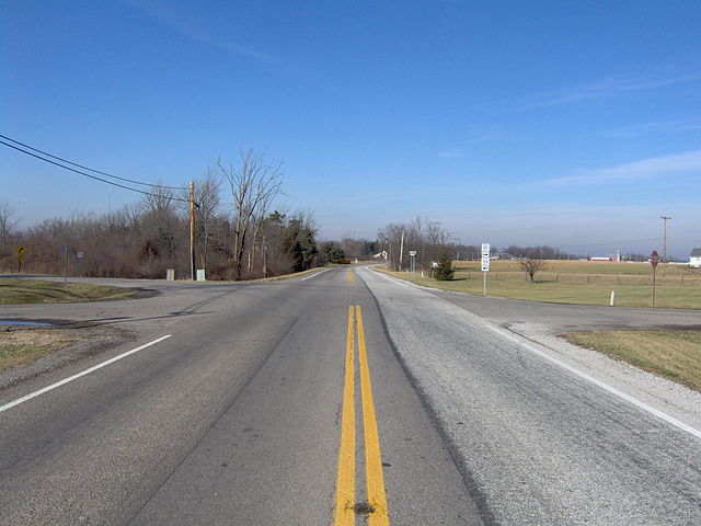
English: Along northbound
State Route 638 at
Northwood, an
unincorporated community on the border between
McArthur and
Richland townships in northern
Logan County,
Ohio,
United States. |
||
| Date | Taken on 3 January 2007 | ||
| Source | Own work | ||
| Author | Nyttend | ||
| Permission ( Reusing this file) |
|
File history
Click on a date/time to view the file as it appeared at that time.
| Date/Time | Thumbnail | Dimensions | User | Comment | |
|---|---|---|---|---|---|
| current | 20:45, 3 January 2007 |
| 2,272 × 1,704 (1.48 MB) | Nyttend | Picture along [http://en.wikipedia.org/wiki/Ohio_State_Route_638 Ohio State Route 638] at [http://en.wikipedia.org/wiki/Northwood%2C_Logan_County%2C_Ohio Northwood]. Picture taken by [http://en.wikipedia.org/wiki/User:Nyttend Nyttend] on 3 January 2007. |
File usage
The following pages on the English Wikipedia use this file (pages on other projects are not listed):