
Size of this PNG preview of this SVG file:
562 × 600 pixels. Other resolutions:
225 × 240 pixels |
450 × 480 pixels |
719 × 768 pixels |
959 × 1,024 pixels |
1,918 × 2,048 pixels |
740 × 790 pixels.
Original file (SVG file, nominally 740 × 790 pixels, file size: 51 KB)
| This is a file from the
Wikimedia Commons. Information from its
description page there is shown below. Commons is a freely licensed media file repository. You can help. |
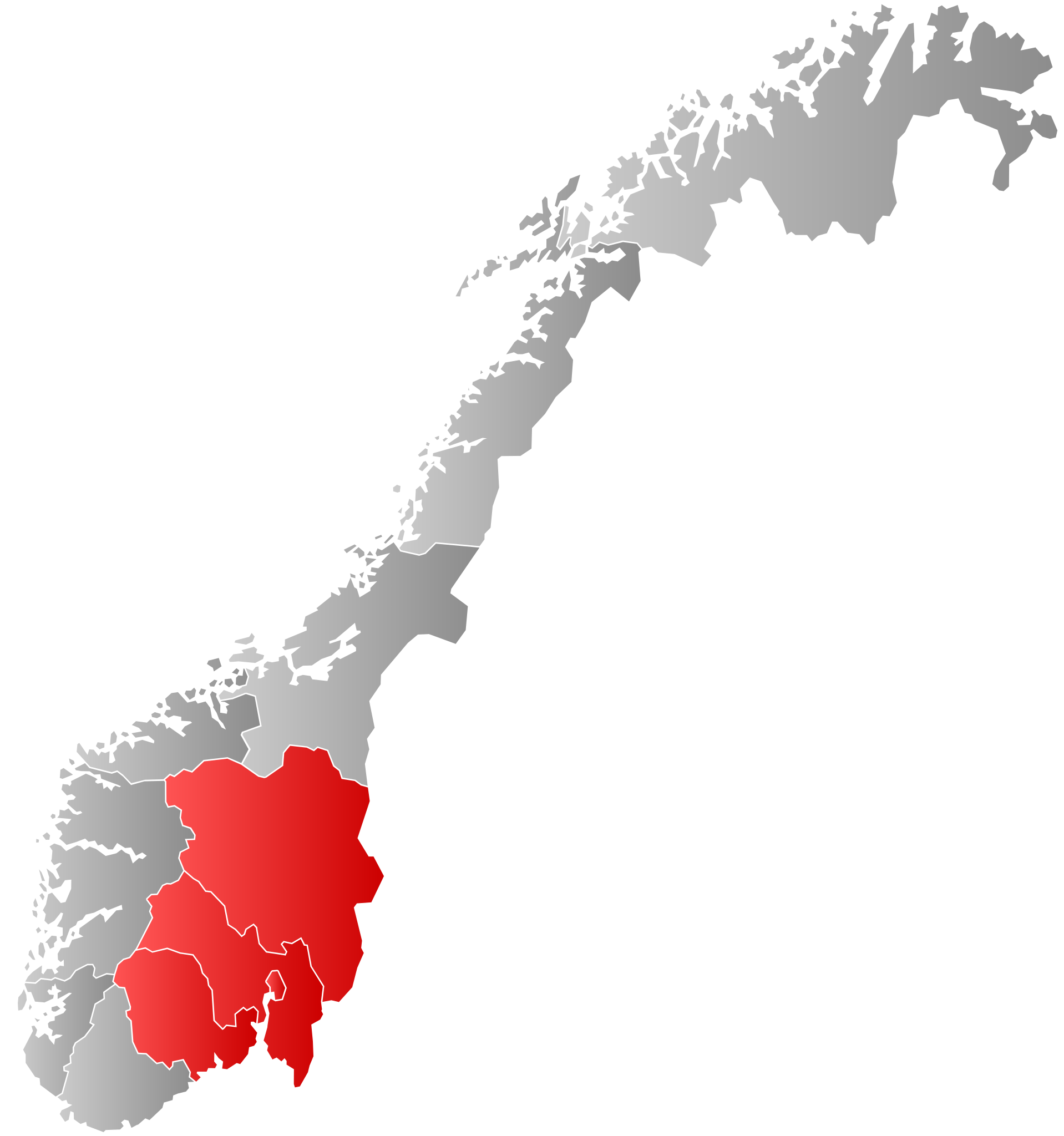
| Description | Autogenerated locator map of Norwegian region as named in filename. |
| Date | |
| Source | Based on Image:Norway counties blank.svg |
| Author | Marmelad |
| Permission ( Reusing this file) |
Own work, share alike, attribution required (Creative Commons CC-BY-SA-2.5) |
I, the copyright holder of this work, hereby publish it under the following license:
This file is licensed under the
Creative Commons
Attribution-Share Alike 2.5 Generic license.
- You are free:
- to share – to copy, distribute and transmit the work
- to remix – to adapt the work
- Under the following conditions:
- attribution – You must give appropriate credit, provide a link to the license, and indicate if changes were made. You may do so in any reasonable manner, but not in any way that suggests the licensor endorses you or your use.
- share alike – If you remix, transform, or build upon the material, you must distribute your contributions under the same or compatible license as the original.
File history
Click on a date/time to view the file as it appeared at that time.
| Date/Time | Thumbnail | Dimensions | User | Comment | |
|---|---|---|---|---|---|
| current | 18:30, 3 September 2020 |
| 740 × 790 (51 KB) | Worldlydev | regionreform |
| 21:46, 21 September 2007 |
 | 512 × 512 (83 KB) | Marmelad | {{Information |Description=Autogenerated locator map of Norwegian region as named in filename. |Source=Based on Image:Norway counties blank.svg |Date=2007-09-21 |Author= Marmelad |Permission=Own work, share alike, attribution require |
File usage
The following pages on the English Wikipedia use this file (pages on other projects are not listed):
Global file usage
The following other wikis use this file:
- Usage on be.wikipedia.org
- Usage on ce.wikipedia.org
- Usage on da.wikipedia.org
- Usage on fy.wikipedia.org
- Usage on hu.wikipedia.org
- Usage on ko.wikipedia.org
- Usage on li.wikipedia.org
- Usage on nl.wikipedia.org
- Usage on ru.wikipedia.org
- Usage on ru.wikivoyage.org
- Usage on se.wikipedia.org
- Usage on sk.wikipedia.org
- Usage on sv.wikipedia.org
- Usage on tr.wikipedia.org
- Usage on vls.wikipedia.org
Metadata
Size of this PNG preview of this SVG file:
562 × 600 pixels. Other resolutions:
225 × 240 pixels |
450 × 480 pixels |
719 × 768 pixels |
959 × 1,024 pixels |
1,918 × 2,048 pixels |
740 × 790 pixels.
Original file (SVG file, nominally 740 × 790 pixels, file size: 51 KB)
| This is a file from the
Wikimedia Commons. Information from its
description page there is shown below. Commons is a freely licensed media file repository. You can help. |
| Description | Autogenerated locator map of Norwegian region as named in filename. |
| Date | |
| Source | Based on Image:Norway counties blank.svg |
| Author | Marmelad |
| Permission ( Reusing this file) |
Own work, share alike, attribution required (Creative Commons CC-BY-SA-2.5) |
I, the copyright holder of this work, hereby publish it under the following license:
This file is licensed under the
Creative Commons
Attribution-Share Alike 2.5 Generic license.
- You are free:
- to share – to copy, distribute and transmit the work
- to remix – to adapt the work
- Under the following conditions:
- attribution – You must give appropriate credit, provide a link to the license, and indicate if changes were made. You may do so in any reasonable manner, but not in any way that suggests the licensor endorses you or your use.
- share alike – If you remix, transform, or build upon the material, you must distribute your contributions under the same or compatible license as the original.
File history
Click on a date/time to view the file as it appeared at that time.
| Date/Time | Thumbnail | Dimensions | User | Comment | |
|---|---|---|---|---|---|
| current | 18:30, 3 September 2020 |
| 740 × 790 (51 KB) | Worldlydev | regionreform |
| 21:46, 21 September 2007 |
| 512 × 512 (83 KB) | Marmelad | {{Information |Description=Autogenerated locator map of Norwegian region as named in filename. |Source=Based on Image:Norway counties blank.svg |Date=2007-09-21 |Author= Marmelad |Permission=Own work, share alike, attribution require |
File usage
The following pages on the English Wikipedia use this file (pages on other projects are not listed):
Global file usage
The following other wikis use this file:
- Usage on be.wikipedia.org
- Usage on ce.wikipedia.org
- Usage on da.wikipedia.org
- Usage on fy.wikipedia.org
- Usage on hu.wikipedia.org
- Usage on ko.wikipedia.org
- Usage on li.wikipedia.org
- Usage on nl.wikipedia.org
- Usage on ru.wikipedia.org
- Usage on ru.wikivoyage.org
- Usage on se.wikipedia.org
- Usage on sk.wikipedia.org
- Usage on sv.wikipedia.org
- Usage on tr.wikipedia.org
- Usage on vls.wikipedia.org