Original file (1,357 × 628 pixels, file size: 34 KB, MIME type: image/png)
| This is a file from the
Wikimedia Commons. Information from its
description page there is shown below. Commons is a freely licensed media file repository. You can help. |
Summary
| Description |
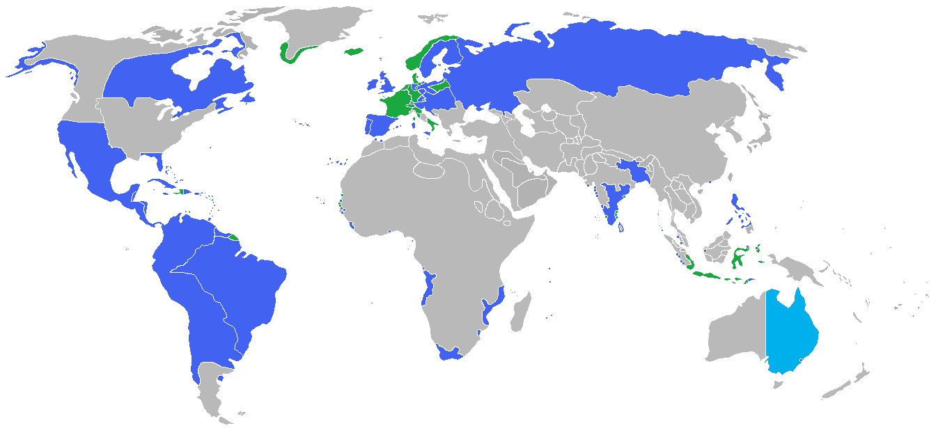
English: Locator map of the competing sides of the War of the Sixth Coalition of the Napoleonic Wars (1812-1814). Blue: Russian Empire, Prussia, Austrian Empire, Sweden, United Kingdom of Great Britain and Ireland, Spain, Portugal, Sicily, Sardinia, Saxony, Bavaria, Württemberg |
| Date | |
| Source | Own work |
| Author | Gabagool |
Licensing
- You are free:
- to share – to copy, distribute and transmit the work
- to remix – to adapt the work
- Under the following conditions:
- attribution – You must give appropriate credit, provide a link to the license, and indicate if changes were made. You may do so in any reasonable manner, but not in any way that suggests the licensor endorses you or your use.
File history
Click on a date/time to view the file as it appeared at that time.
| Date/Time | Thumbnail | Dimensions | User | Comment | |
|---|---|---|---|---|---|
| current | 02:15, 5 July 2018 |
| 1,357 × 628 (34 KB) | Themane2 | Louisiana border. |
| 01:30, 18 October 2009 |
 | 1,357 × 628 (45 KB) | Historiographer~commonswiki | added Korean border | |
| 19:50, 1 September 2009 |
 | 1,357 × 628 (45 KB) | Gabagool | {{Information |Description={{en|1=Locator map of the competing sides of the War of the Sixth Coalition of the Napoleonic Wars (1812-1814).<br> <font color="Blue">Blue</font>: Russian Empire, Prussia, Austrian Empire, Sweden, United Kingdom of Great Britai |
File usage
Global file usage
The following other wikis use this file:
- Usage on et.wikipedia.org
Metadata
Original file (1,357 × 628 pixels, file size: 34 KB, MIME type: image/png)
| This is a file from the
Wikimedia Commons. Information from its
description page there is shown below. Commons is a freely licensed media file repository. You can help. |
Summary
| Description |
English: Locator map of the competing sides of the War of the Sixth Coalition of the Napoleonic Wars (1812-1814). Blue: Russian Empire, Prussia, Austrian Empire, Sweden, United Kingdom of Great Britain and Ireland, Spain, Portugal, Sicily, Sardinia, Saxony, Bavaria, Württemberg |
| Date | |
| Source | Own work |
| Author | Gabagool |
Licensing
- You are free:
- to share – to copy, distribute and transmit the work
- to remix – to adapt the work
- Under the following conditions:
- attribution – You must give appropriate credit, provide a link to the license, and indicate if changes were made. You may do so in any reasonable manner, but not in any way that suggests the licensor endorses you or your use.
File history
Click on a date/time to view the file as it appeared at that time.
| Date/Time | Thumbnail | Dimensions | User | Comment | |
|---|---|---|---|---|---|
| current | 02:15, 5 July 2018 |
| 1,357 × 628 (34 KB) | Themane2 | Louisiana border. |
| 01:30, 18 October 2009 |
| 1,357 × 628 (45 KB) | Historiographer~commonswiki | added Korean border | |
| 19:50, 1 September 2009 |
| 1,357 × 628 (45 KB) | Gabagool | {{Information |Description={{en|1=Locator map of the competing sides of the War of the Sixth Coalition of the Napoleonic Wars (1812-1814).<br> <font color="Blue">Blue</font>: Russian Empire, Prussia, Austrian Empire, Sweden, United Kingdom of Great Britai |
File usage
Global file usage
The following other wikis use this file:
- Usage on et.wikipedia.org