Photos • Location


Size of this preview:
800 × 526 pixels. Other resolutions:
320 × 210 pixels |
640 × 420 pixels |
1,024 × 673 pixels |
1,280 × 841 pixels |
2,560 × 1,682 pixels |
5,075 × 3,334 pixels.
Original file (5,075 × 3,334 pixels, file size: 5.2 MB, MIME type: image/jpeg)
| This is a file from the
Wikimedia Commons. Information from its
description page there is shown below. Commons is a freely licensed media file repository. You can help. |
Summary
| Description |
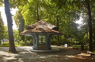
Nederlands: Nachtegalenpark Antwerpen
|
||
| Date | |||
| Source | https://id.erfgoed.net/afbeeldingen/385841 | ||
| Author | Vandevorst, Kris |
| Object location |
| View this and other nearby images on: OpenStreetMap |
|
|---|
Licensing
This file is licensed under the
Creative Commons
Attribution 4.0 International license.
- You are free:
- to share – to copy, distribute and transmit the work
- to remix – to adapt the work
- Under the following conditions:
- attribution – You must give appropriate credit, provide a link to the license, and indicate if changes were made. You may do so in any reasonable manner, but not in any way that suggests the licensor endorses you or your use.
File history
Click on a date/time to view the file as it appeared at that time.
| Date/Time | Thumbnail | Dimensions | User | Comment | |
|---|---|---|---|---|---|
| current | 18:46, 21 January 2020 |
| 5,075 × 3,334 (5.2 MB) | BotMultichill | Uploading onroerenderfboed.be image from https://beeldbank.onroerenderfgoed.be/images/385841/content/original |
File usage
The following pages on the English Wikipedia use this file (pages on other projects are not listed):
Metadata
Size of this preview:
800 × 526 pixels. Other resolutions:
320 × 210 pixels |
640 × 420 pixels |
1,024 × 673 pixels |
1,280 × 841 pixels |
2,560 × 1,682 pixels |
5,075 × 3,334 pixels.
Original file (5,075 × 3,334 pixels, file size: 5.2 MB, MIME type: image/jpeg)
| This is a file from the
Wikimedia Commons. Information from its
description page there is shown below. Commons is a freely licensed media file repository. You can help. |
Summary
| Description |
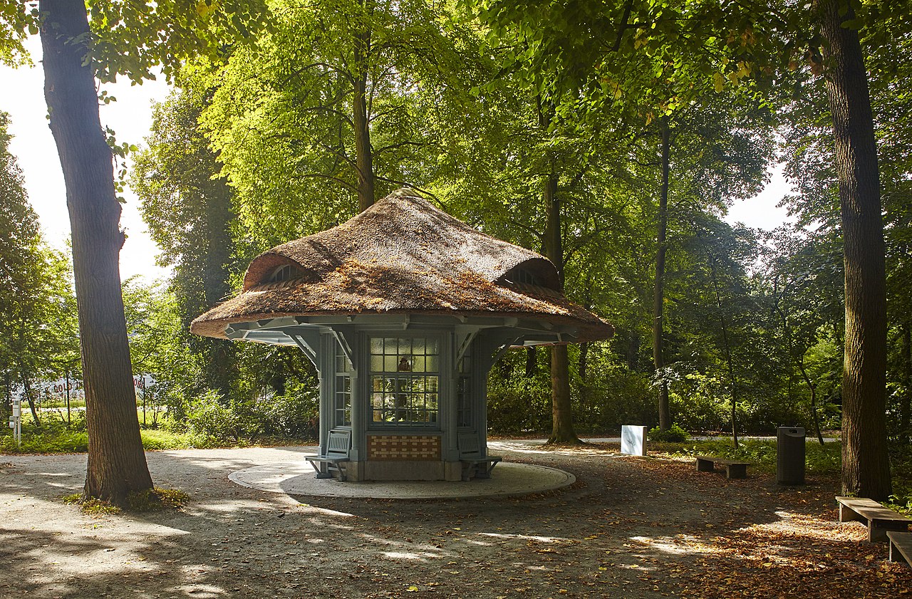
Nederlands: Nachtegalenpark Antwerpen
|
||
| Date | |||
| Source | https://id.erfgoed.net/afbeeldingen/385841 | ||
| Author | Vandevorst, Kris |
| Object location |
| View this and other nearby images on: OpenStreetMap |
|
|---|
Licensing
This file is licensed under the
Creative Commons
Attribution 4.0 International license.
- You are free:
- to share – to copy, distribute and transmit the work
- to remix – to adapt the work
- Under the following conditions:
- attribution – You must give appropriate credit, provide a link to the license, and indicate if changes were made. You may do so in any reasonable manner, but not in any way that suggests the licensor endorses you or your use.
File history
Click on a date/time to view the file as it appeared at that time.
| Date/Time | Thumbnail | Dimensions | User | Comment | |
|---|---|---|---|---|---|
| current | 18:46, 21 January 2020 |
| 5,075 × 3,334 (5.2 MB) | BotMultichill | Uploading onroerenderfboed.be image from https://beeldbank.onroerenderfgoed.be/images/385841/content/original |
File usage
The following pages on the English Wikipedia use this file (pages on other projects are not listed):