Size of this preview:
445 × 599 pixels. Other resolutions:
178 × 240 pixels |
356 × 480 pixels |
570 × 768 pixels |
761 × 1,024 pixels |
1,521 × 2,048 pixels |
5,291 × 7,123 pixels.
Original file (5,291 × 7,123 pixels, file size: 3.78 MB, MIME type: image/jpeg)
| This is a file from the
Wikimedia Commons. Information from its
description page there is shown below. Commons is a freely licensed media file repository. You can help. |
Summary
| Description |
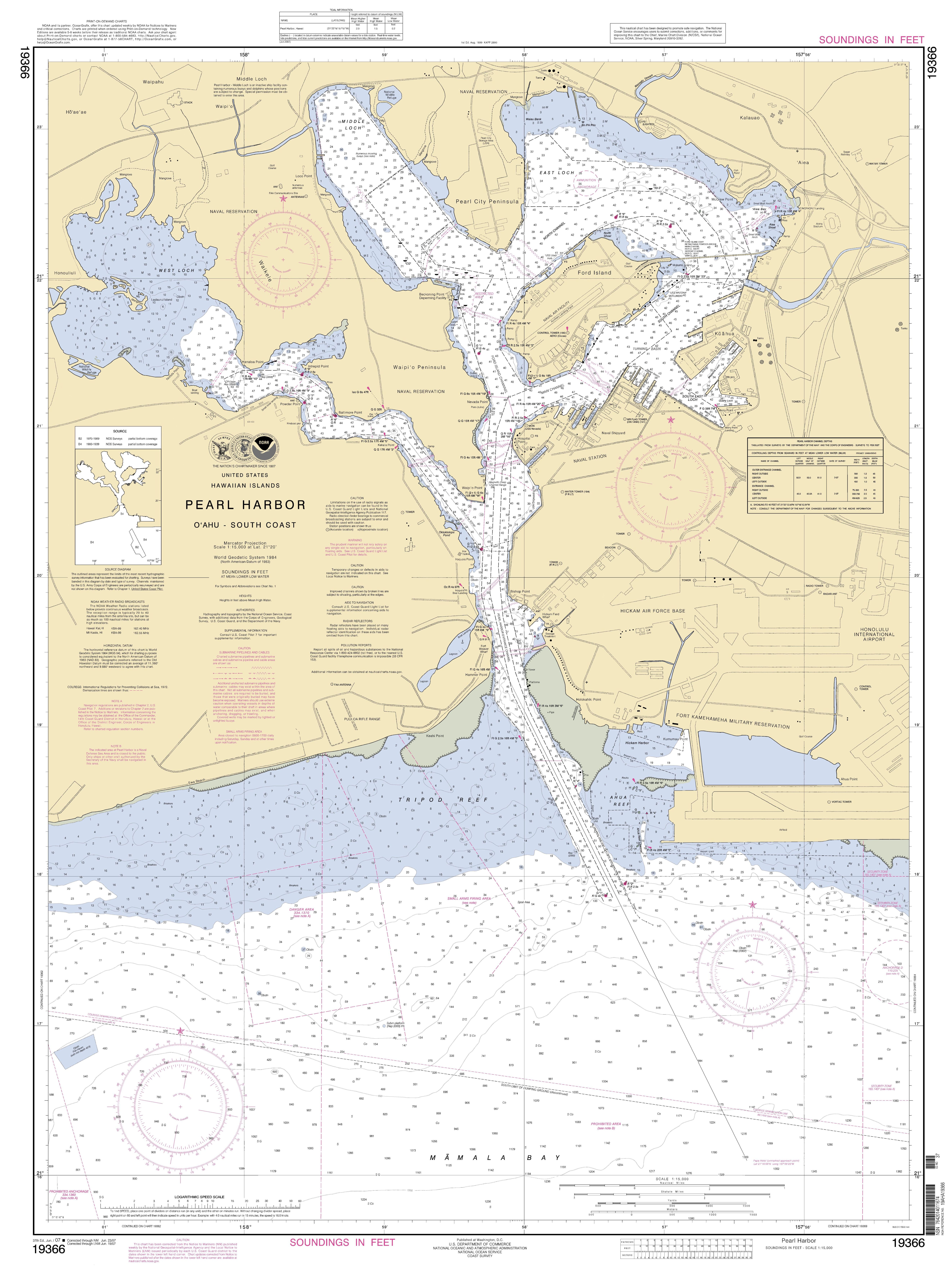
English: National Oceanic and Atmospheric Administration approach map for Pearl Harbor |
| Date | |
| Source | http://www.charts.noaa.gov/OnLineViewer/19366.shtml |
| Author | Employee of the NOAA |
Licensing
This image is in the
public domain because it contains materials that originally came from the U.S.
National Oceanic and Atmospheric Administration, taken or made as part of an employee's official duties.
|
File history
Click on a date/time to view the file as it appeared at that time.
| Date/Time | Thumbnail | Dimensions | User | Comment | |
|---|---|---|---|---|---|
| current | 18:42, 25 May 2014 |
| 5,291 × 7,123 (3.78 MB) | TParis | Entire map |
| 18:31, 25 May 2014 |
 | 256 × 256 (17 KB) | TParis | {{Information |Description ={{en|1=National Oceanic and Atmospheric Administration approach map for Pearl Harbor}} |Source =http://www.charts.noaa.gov/OnLineViewer/19366.shtml |Author =Employee of the NOAA |Date =2014-04-21... |
File usage
The following pages on the English Wikipedia use this file (pages on other projects are not listed):
Global file usage
The following other wikis use this file:
- Usage on ar.wikipedia.org
- Usage on de.wikipedia.org
- Usage on fa.wikipedia.org
- Usage on id.wikipedia.org
- Usage on ja.wikipedia.org
- Usage on nl.wikipedia.org
- Usage on vi.wikipedia.org
Metadata
Size of this preview:
445 × 599 pixels. Other resolutions:
178 × 240 pixels |
356 × 480 pixels |
570 × 768 pixels |
761 × 1,024 pixels |
1,521 × 2,048 pixels |
5,291 × 7,123 pixels.
Original file (5,291 × 7,123 pixels, file size: 3.78 MB, MIME type: image/jpeg)
| This is a file from the
Wikimedia Commons. Information from its
description page there is shown below. Commons is a freely licensed media file repository. You can help. |
Summary
| Description |
English: National Oceanic and Atmospheric Administration approach map for Pearl Harbor |
| Date | |
| Source | http://www.charts.noaa.gov/OnLineViewer/19366.shtml |
| Author | Employee of the NOAA |
Licensing
This image is in the
public domain because it contains materials that originally came from the U.S.
National Oceanic and Atmospheric Administration, taken or made as part of an employee's official duties.
|
File history
Click on a date/time to view the file as it appeared at that time.
| Date/Time | Thumbnail | Dimensions | User | Comment | |
|---|---|---|---|---|---|
| current | 18:42, 25 May 2014 |
| 5,291 × 7,123 (3.78 MB) | TParis | Entire map |
| 18:31, 25 May 2014 |
| 256 × 256 (17 KB) | TParis | {{Information |Description ={{en|1=National Oceanic and Atmospheric Administration approach map for Pearl Harbor}} |Source =http://www.charts.noaa.gov/OnLineViewer/19366.shtml |Author =Employee of the NOAA |Date =2014-04-21... |
File usage
The following pages on the English Wikipedia use this file (pages on other projects are not listed):
Global file usage
The following other wikis use this file:
- Usage on ar.wikipedia.org
- Usage on de.wikipedia.org
- Usage on fa.wikipedia.org
- Usage on id.wikipedia.org
- Usage on ja.wikipedia.org
- Usage on nl.wikipedia.org
- Usage on vi.wikipedia.org