
Size of this PNG preview of this SVG file:
512 × 512 pixels. Other resolutions:
240 × 240 pixels |
480 × 480 pixels |
768 × 768 pixels |
1,024 × 1,024 pixels |
2,048 × 2,048 pixels.
Original file (SVG file, nominally 512 × 512 pixels, file size: 2.3 MB)
| This is a file from the
Wikimedia Commons. Information from its
description page there is shown below. Commons is a freely licensed media file repository. You can help. |
Summary
| Description | |
| Date | |
| Source |
Own work, Top map of Virginia based on File:USA Virginia location map.svg, Alexrk2 |
| Author | Lgnhes97, with top map based on Alexrk2 |
| SVG development | This W3C-invalid
map was created with
Adobe Illustrator. |
Licensing
I, the copyright holder of this work, hereby publish it under the following licenses:

|
Permission is granted to copy, distribute and/or modify this document under the terms of the GNU Free Documentation License, Version 1.2 or any later version published by the Free Software Foundation; with no Invariant Sections, no Front-Cover Texts, and no Back-Cover Texts. A copy of the license is included in the section entitled GNU Free Documentation License. |
This file is licensed under the
Creative Commons
Attribution 3.0 Unported license.
- You are free:
- to share – to copy, distribute and transmit the work
- to remix – to adapt the work
- Under the following conditions:
- attribution – You must give appropriate credit, provide a link to the license, and indicate if changes were made. You may do so in any reasonable manner, but not in any way that suggests the licensor endorses you or your use.
You may select the license of your choice.
File history
Click on a date/time to view the file as it appeared at that time.
| Date/Time | Thumbnail | Dimensions | User | Comment | |
|---|---|---|---|---|---|
| current | 19:11, 2 July 2022 |
| 512 × 512 (2.3 MB) | Lgnhes97 | Removed redundant metadata in file background |
| 22:01, 1 July 2022 |
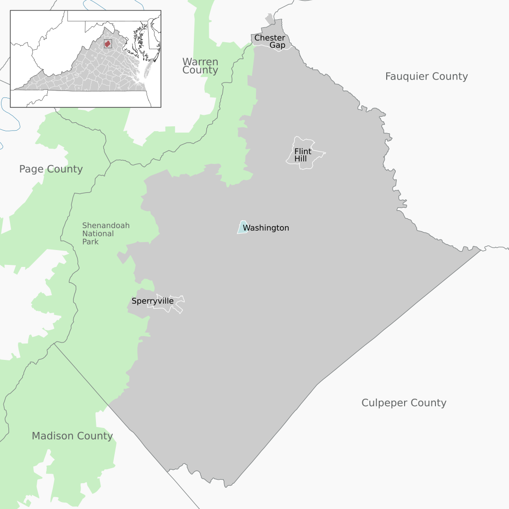
 | 512 × 512 (6.25 MB) | Lgnhes97 | {{Information |Description= {{de|Lage der Gemeinden und CDPs im Rappahannock County, Virginia, USA}} {{en|Municipalities and CDPs in Rappahannock County, Virginia, USA.}} |Source={{own}}, Top map of Virginia based on File:USA Virginia location map.svg, Alexrk2 |Date= 2022-07-02 |Author= Lgnhes97, with top map based on [[User:Ale... |
File usage
The following pages on the English Wikipedia use this file (pages on other projects are not listed):
Metadata
Size of this PNG preview of this SVG file:
512 × 512 pixels. Other resolutions:
240 × 240 pixels |
480 × 480 pixels |
768 × 768 pixels |
1,024 × 1,024 pixels |
2,048 × 2,048 pixels.
Original file (SVG file, nominally 512 × 512 pixels, file size: 2.3 MB)
| This is a file from the
Wikimedia Commons. Information from its
description page there is shown below. Commons is a freely licensed media file repository. You can help. |
Summary
| Description | |
| Date | |
| Source |
Own work, Top map of Virginia based on File:USA Virginia location map.svg, Alexrk2 |
| Author | Lgnhes97, with top map based on Alexrk2 |
| SVG development | This W3C-invalid
map was created with
Adobe Illustrator. |
Licensing
I, the copyright holder of this work, hereby publish it under the following licenses:
|
|
Permission is granted to copy, distribute and/or modify this document under the terms of the GNU Free Documentation License, Version 1.2 or any later version published by the Free Software Foundation; with no Invariant Sections, no Front-Cover Texts, and no Back-Cover Texts. A copy of the license is included in the section entitled GNU Free Documentation License. |
This file is licensed under the
Creative Commons
Attribution 3.0 Unported license.
- You are free:
- to share – to copy, distribute and transmit the work
- to remix – to adapt the work
- Under the following conditions:
- attribution – You must give appropriate credit, provide a link to the license, and indicate if changes were made. You may do so in any reasonable manner, but not in any way that suggests the licensor endorses you or your use.
You may select the license of your choice.
File history
Click on a date/time to view the file as it appeared at that time.
| Date/Time | Thumbnail | Dimensions | User | Comment | |
|---|---|---|---|---|---|
| current | 19:11, 2 July 2022 |
| 512 × 512 (2.3 MB) | Lgnhes97 | Removed redundant metadata in file background |
| 22:01, 1 July 2022 |
| 512 × 512 (6.25 MB) | Lgnhes97 | {{Information |Description= {{de|Lage der Gemeinden und CDPs im Rappahannock County, Virginia, USA}} {{en|Municipalities and CDPs in Rappahannock County, Virginia, USA.}} |Source={{own}}, Top map of Virginia based on File:USA Virginia location map.svg, Alexrk2 |Date= 2022-07-02 |Author= Lgnhes97, with top map based on [[User:Ale... |
File usage
The following pages on the English Wikipedia use this file (pages on other projects are not listed):