Photos • Location


Size of this preview:
448 × 599 pixels. Other resolutions:
179 × 240 pixels |
359 × 480 pixels |
575 × 768 pixels |
766 × 1,024 pixels |
1,712 × 2,288 pixels.
Original file (1,712 × 2,288 pixels, file size: 402 KB, MIME type: image/jpeg)
| This is a file from the
Wikimedia Commons. Information from its
description page there is shown below. Commons is a freely licensed media file repository. You can help. |
Summary
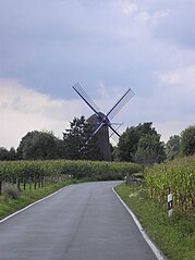
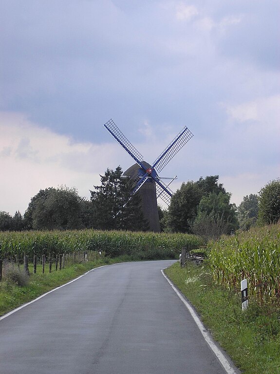
| Description | Windmühle in Mehr, Gemeinde Kranenburg |
| Date | |
| Source | Own work |
| Author | MiraculixHB |
| Openstreetmap entry | Link to Openstreetmap |
| Object location |
| View this and other nearby images on: OpenStreetMap |
|
|---|
Licensing
| I, the copyright holder of this work, release this work into the
public domain. This applies worldwide. In some countries this may not be legally possible; if so: I grant anyone the right to use this work for any purpose, without any conditions, unless such conditions are required by law. |
File history
Click on a date/time to view the file as it appeared at that time.
| Date/Time | Thumbnail | Dimensions | User | Comment | |
|---|---|---|---|---|---|
| current | 20:26, 1 September 2007 |
| 1,712 × 2,288 (402 KB) | MiraculixHB~commonswiki | {{Information |Description=Windmühle in Mehr, Gemeinde Kranenburg |Source=Eigene Aufnahme |Date=1. September 2007 |Author=MiraculixHB |Permission= |other_versions= }} |
File usage
The following pages on the English Wikipedia use this file (pages on other projects are not listed):
Global file usage
The following other wikis use this file:
- Usage on de.wikipedia.org
- Usage on nl.wikipedia.org
- Usage on pl.wikipedia.org
- Usage on uk.wikipedia.org
- Usage on www.wikidata.org
Metadata
Size of this preview:
448 × 599 pixels. Other resolutions:
179 × 240 pixels |
359 × 480 pixels |
575 × 768 pixels |
766 × 1,024 pixels |
1,712 × 2,288 pixels.
Original file (1,712 × 2,288 pixels, file size: 402 KB, MIME type: image/jpeg)
| This is a file from the
Wikimedia Commons. Information from its
description page there is shown below. Commons is a freely licensed media file repository. You can help. |
Summary
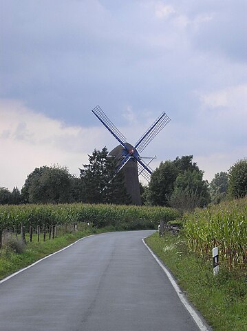
| Description | Windmühle in Mehr, Gemeinde Kranenburg |
| Date | |
| Source | Own work |
| Author | MiraculixHB |
| Openstreetmap entry | Link to Openstreetmap |
| Object location |
| View this and other nearby images on: OpenStreetMap |
|
|---|
Licensing
| I, the copyright holder of this work, release this work into the
public domain. This applies worldwide. In some countries this may not be legally possible; if so: I grant anyone the right to use this work for any purpose, without any conditions, unless such conditions are required by law. |
File history
Click on a date/time to view the file as it appeared at that time.
| Date/Time | Thumbnail | Dimensions | User | Comment | |
|---|---|---|---|---|---|
| current | 20:26, 1 September 2007 |
| 1,712 × 2,288 (402 KB) | MiraculixHB~commonswiki | {{Information |Description=Windmühle in Mehr, Gemeinde Kranenburg |Source=Eigene Aufnahme |Date=1. September 2007 |Author=MiraculixHB |Permission= |other_versions= }} |
File usage
The following pages on the English Wikipedia use this file (pages on other projects are not listed):
Global file usage
The following other wikis use this file:
- Usage on de.wikipedia.org
- Usage on nl.wikipedia.org
- Usage on pl.wikipedia.org
- Usage on uk.wikipedia.org
- Usage on www.wikidata.org