
Original file (SVG file, nominally 957 × 765 pixels, file size: 186 KB)
| This is a file from the
Wikimedia Commons. Information from its
description page there is shown below. Commons is a freely licensed media file repository. You can help. |
Summary
| Description |
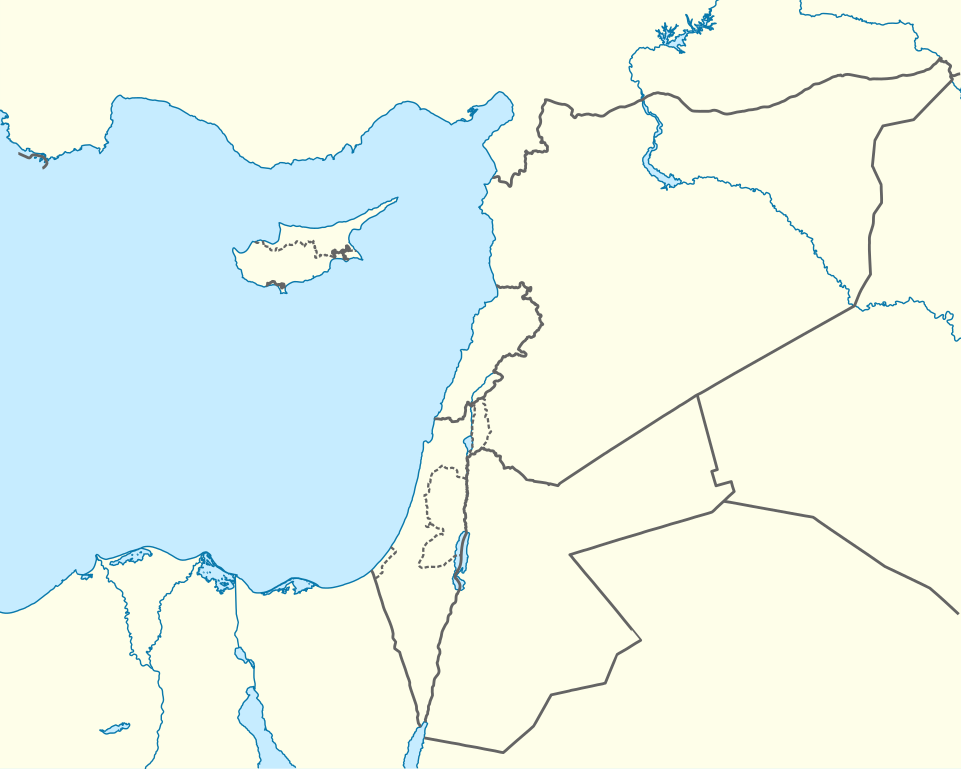
Deutsch: Positionskarte des östlichen
Mittelmeers
Quadratische Plattkarte, N-S-Streckung 120 %. Geographische Begrenzung der Karte:
English: Location map of the Eastern
Mediterranean Sea
Equirectangular projection, N/S stretching 120 %. Geographic limits of the map:
|
|
| Date | ||
| Source | Own work using: World Data Base II data | |
| Author | NordNordWest | |
| Permission ( Reusing this file) |
This file is licensed under the
Creative Commons
Attribution-Share Alike 3.0 Germany license.
 |


|
This map has been made or improved in the German
Kartenwerkstatt (Map Lab). You can
propose maps to improve as well.
|
Licensing
- You are free:
- to share – to copy, distribute and transmit the work
- to remix – to adapt the work
- Under the following conditions:
- attribution – You must give appropriate credit, provide a link to the license, and indicate if changes were made. You may do so in any reasonable manner, but not in any way that suggests the licensor endorses you or your use.
- share alike – If you remix, transform, or build upon the material, you must distribute your contributions under the same or compatible license as the original.
File history
Click on a date/time to view the file as it appeared at that time.
| Date/Time | Thumbnail | Dimensions | User | Comment | |
|---|---|---|---|---|---|
| current | 17:28, 3 April 2013 |
| 957 × 765 (186 KB) | NordNordWest | =={{int:filedesc}}== {{Information |Description= {{de|Positionskarte des östlichen Mittelmeers}} Quadratische Plattkarte, N-S-Streckung 120 %. Geographische Begrenzung der Karte: * N: 38.0° N * S: 29.0° N * W: 29.0° O * O: 42.5°... |
File usage
- 'En Esur
- 2 Kings 8
- Aleppo
- Amman
- Aphrodite gas field
- Arwad
- As-Suwayda
- Beirut
- Bosra
- Cities of Refuge
- Damascus
- Dan (ancient city)
- Deir ez-Zor
- Douma, Syria
- Ejdabrine
- Gaza Daily
- Hama
- Harran (biblical place)
- Homs
- Jableh
- Jacob's Ladder
- Karahan Tepe
- Latakia
- Levantine Sea
- Leviathan gas field
- Nicosia
- Operation Highbrow
- Palmyra
- Pre-Pottery Neolithic B
- Raqqa
- Samuel Lyde
- Shechem
- Siege of Tripoli
- Siege of Tripoli (1271)
- Tamar gas field
- Tanin gas field
- Tartus
- Tel Ro'im West
- Tel Yokneam
- Telmessos
- Module:Location map/data/Mediterranean east
- Module:Location map/data/Mediterranean east/doc
Global file usage
The following other wikis use this file:
- Usage on ast.wikipedia.org
- Episkopí
- Acrotiri (pueblu)
- Nicosia
- Limasol
- Famagusta
- Módulu:Mapa de llocalización/datos/Xipre
- Módulu:Mapa de llocalización/datos/Xipre/usu
- Aeropuertu Internacional de Lárnaca
- Aeropuertu Internacional de Pafos
- Aeropuertu d'Ercan
- Aeropuertu de Nicosia
- Base Aérea de Geçitkale
- Puertu de Limasol
- Pelendri
- Kantou
- Mouttagiaka
- Paramali
- Platres
- Pano Polemidia
- Kato Kivides
- Pissouri
- Omodos
- Platanisteia
- Kolossi
- Kyperounta
- Foini
- Pachna
- Palodia
- Palaiomylos
- Pera Pedi
- Monagroulli
- Paramytha
- Pentakomo
- Parekklisia
- Moniatis
- Prastio (Avdimou)
- Potamitissa
- Potamiou
- Asgata
- Prodromos
- Trachoni
- Vouni
- Armenokhori
- Vikla
- Vasa Koilaniou
- Vasa Kellakiou
- Tserkezoi
- Trimiklini
- Treis Elies
- Sykopetra
View more global usage of this file.
Metadata
Original file (SVG file, nominally 957 × 765 pixels, file size: 186 KB)
| This is a file from the
Wikimedia Commons. Information from its
description page there is shown below. Commons is a freely licensed media file repository. You can help. |
Summary
| Description |
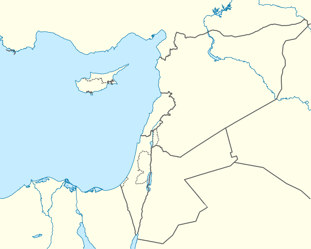
Deutsch: Positionskarte des östlichen
Mittelmeers
Quadratische Plattkarte, N-S-Streckung 120 %. Geographische Begrenzung der Karte:
English: Location map of the Eastern
Mediterranean Sea
Equirectangular projection, N/S stretching 120 %. Geographic limits of the map:
|
|
| Date | ||
| Source | Own work using: World Data Base II data | |
| Author | NordNordWest | |
| Permission ( Reusing this file) |
This file is licensed under the
Creative Commons
Attribution-Share Alike 3.0 Germany license.
|
|
|
This map has been made or improved in the German
Kartenwerkstatt (Map Lab). You can
propose maps to improve as well.
|
Licensing
- You are free:
- to share – to copy, distribute and transmit the work
- to remix – to adapt the work
- Under the following conditions:
- attribution – You must give appropriate credit, provide a link to the license, and indicate if changes were made. You may do so in any reasonable manner, but not in any way that suggests the licensor endorses you or your use.
- share alike – If you remix, transform, or build upon the material, you must distribute your contributions under the same or compatible license as the original.
File history
Click on a date/time to view the file as it appeared at that time.
| Date/Time | Thumbnail | Dimensions | User | Comment | |
|---|---|---|---|---|---|
| current | 17:28, 3 April 2013 |
| 957 × 765 (186 KB) | NordNordWest | =={{int:filedesc}}== {{Information |Description= {{de|Positionskarte des östlichen Mittelmeers}} Quadratische Plattkarte, N-S-Streckung 120 %. Geographische Begrenzung der Karte: * N: 38.0° N * S: 29.0° N * W: 29.0° O * O: 42.5°... |
File usage
- 'En Esur
- 2 Kings 8
- Aleppo
- Amman
- Aphrodite gas field
- Arwad
- As-Suwayda
- Beirut
- Bosra
- Cities of Refuge
- Damascus
- Dan (ancient city)
- Deir ez-Zor
- Douma, Syria
- Ejdabrine
- Gaza Daily
- Hama
- Harran (biblical place)
- Homs
- Jableh
- Jacob's Ladder
- Karahan Tepe
- Latakia
- Levantine Sea
- Leviathan gas field
- Nicosia
- Operation Highbrow
- Palmyra
- Pre-Pottery Neolithic B
- Raqqa
- Samuel Lyde
- Shechem
- Siege of Tripoli
- Siege of Tripoli (1271)
- Tamar gas field
- Tanin gas field
- Tartus
- Tel Ro'im West
- Tel Yokneam
- Telmessos
- Module:Location map/data/Mediterranean east
- Module:Location map/data/Mediterranean east/doc
Global file usage
The following other wikis use this file:
- Usage on ast.wikipedia.org
- Episkopí
- Acrotiri (pueblu)
- Nicosia
- Limasol
- Famagusta
- Módulu:Mapa de llocalización/datos/Xipre
- Módulu:Mapa de llocalización/datos/Xipre/usu
- Aeropuertu Internacional de Lárnaca
- Aeropuertu Internacional de Pafos
- Aeropuertu d'Ercan
- Aeropuertu de Nicosia
- Base Aérea de Geçitkale
- Puertu de Limasol
- Pelendri
- Kantou
- Mouttagiaka
- Paramali
- Platres
- Pano Polemidia
- Kato Kivides
- Pissouri
- Omodos
- Platanisteia
- Kolossi
- Kyperounta
- Foini
- Pachna
- Palodia
- Palaiomylos
- Pera Pedi
- Monagroulli
- Paramytha
- Pentakomo
- Parekklisia
- Moniatis
- Prastio (Avdimou)
- Potamitissa
- Potamiou
- Asgata
- Prodromos
- Trachoni
- Vouni
- Armenokhori
- Vikla
- Vasa Koilaniou
- Vasa Kellakiou
- Tserkezoi
- Trimiklini
- Treis Elies
- Sykopetra
View more global usage of this file.