
Size of this PNG preview of this SVG file:
694 × 599 pixels. Other resolutions:
278 × 240 pixels |
556 × 480 pixels |
889 × 768 pixels |
1,185 × 1,024 pixels |
2,371 × 2,048 pixels |
940 × 812 pixels.
Original file (SVG file, nominally 940 × 812 pixels, file size: 1.05 MB)
| This is a file from the
Wikimedia Commons. Information from its
description page there is shown below. Commons is a freely licensed media file repository. You can help. |
Summary
| Description |
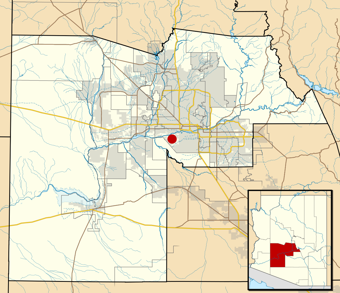
This map shows the incorporated areas and Indian reservation boundaries in Maricopa County, central Arizona, along with water bodies and major highways and roads.
|
| Date | |
| Source | My own work, based on government information |
| Author | Ixnayonthetimmay |
| Permission ( Reusing this file) |
Public Domain |
| Other versions | See Category:Maps of Maricopa County for other versions of this image. |
Licensing
| I, the copyright holder of this work, release this work into the
public domain. This applies worldwide. In some countries this may not be legally possible; if so: I grant anyone the right to use this work for any purpose, without any conditions, unless such conditions are required by law. |
File history
Click on a date/time to view the file as it appeared at that time.
| Date/Time | Thumbnail | Dimensions | User | Comment | |
|---|---|---|---|---|---|
| current | 06:06, 19 May 2011 |
| 940 × 812 (1.05 MB) | Ixnayonthetimmay | Uploading new version |
| 04:17, 30 August 2008 |
 | 900 × 800 (421 KB) | Ixnayonthetimmay | == Summary == {{Information |Description=This map shows the incorporated areas and unincorporated areas in Maricopa County, Arizona. [[:en:Laveen, Arizona|La |
File usage
The following pages on the English Wikipedia use this file (pages on other projects are not listed):
Size of this PNG preview of this SVG file:
694 × 599 pixels. Other resolutions:
278 × 240 pixels |
556 × 480 pixels |
889 × 768 pixels |
1,185 × 1,024 pixels |
2,371 × 2,048 pixels |
940 × 812 pixels.
Original file (SVG file, nominally 940 × 812 pixels, file size: 1.05 MB)
| This is a file from the
Wikimedia Commons. Information from its
description page there is shown below. Commons is a freely licensed media file repository. You can help. |
Summary
| Description |
This map shows the incorporated areas and Indian reservation boundaries in Maricopa County, central Arizona, along with water bodies and major highways and roads.
|
| Date | |
| Source | My own work, based on government information |
| Author | Ixnayonthetimmay |
| Permission ( Reusing this file) |
Public Domain |
| Other versions | See Category:Maps of Maricopa County for other versions of this image. |
Licensing
| I, the copyright holder of this work, release this work into the
public domain. This applies worldwide. In some countries this may not be legally possible; if so: I grant anyone the right to use this work for any purpose, without any conditions, unless such conditions are required by law. |
File history
Click on a date/time to view the file as it appeared at that time.
| Date/Time | Thumbnail | Dimensions | User | Comment | |
|---|---|---|---|---|---|
| current | 06:06, 19 May 2011 |
| 940 × 812 (1.05 MB) | Ixnayonthetimmay | Uploading new version |
| 04:17, 30 August 2008 |
| 900 × 800 (421 KB) | Ixnayonthetimmay | == Summary == {{Information |Description=This map shows the incorporated areas and unincorporated areas in Maricopa County, Arizona. [[:en:Laveen, Arizona|La |
File usage
The following pages on the English Wikipedia use this file (pages on other projects are not listed):