
Size of this PNG preview of this SVG file:
800 × 400 pixels. Other resolutions:
320 × 160 pixels |
640 × 320 pixels |
1,024 × 512 pixels |
1,280 × 640 pixels |
2,560 × 1,280 pixels |
1,000 × 500 pixels.
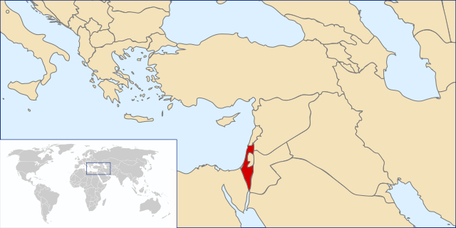
Original file (SVG file, nominally 1,000 × 500 pixels, file size: 2.76 MB)
| This is a file from the
Wikimedia Commons. Information from its
description page there is shown below. Commons is a freely licensed media file repository. You can help. |
Summary
| Description |
|
| Date | (UTC) |
| Source | Original by User:Vardion, File:A large blank world map with oceans marked in blue.svg |
| Author |
|
| Permission ( Reusing this file) |
Own work, copyleft: Multi-license with GFDL and Creative Commons CC-BY-SA-2.5 and older versions (2.0 and 1.0) |
| SVG development |
Licensing
I, the copyright holder of this work, hereby publish it under the following licenses:

|
Permission is granted to copy, distribute and/or modify this document under the terms of the GNU Free Documentation License, Version 1.2 or any later version published by the Free Software Foundation; with no Invariant Sections, no Front-Cover Texts, and no Back-Cover Texts. A copy of the license is included in the section entitled GNU Free Documentation License. |
| This file is licensed under the Creative Commons Attribution-Share Alike 3.0 Unported license. | ||
| ||
| This licensing tag was added to this file as part of the GFDL licensing update. |
This file is licensed under the
Creative Commons Attribution-Share Alike
2.5 Generic,
2.0 Generic and
1.0 Generic license.
- You are free:
- to share – to copy, distribute and transmit the work
- to remix – to adapt the work
- Under the following conditions:
- attribution – You must give appropriate credit, provide a link to the license, and indicate if changes were made. You may do so in any reasonable manner, but not in any way that suggests the licensor endorses you or your use.
- share alike – If you remix, transform, or build upon the material, you must distribute your contributions under the same or compatible license as the original.
You may select the license of your choice.
File history
Click on a date/time to view the file as it appeared at that time.
| Date/Time | Thumbnail | Dimensions | User | Comment | |
|---|---|---|---|---|---|
| current | 19:17, 14 October 2014 |
| 1,000 × 500 (2.76 MB) | Gagiiboli | Reverted to version as of 02:03, 21 December 2013 |
| 19:11, 14 October 2014 |
 | 1,000 × 500 (302 KB) | Gagiiboli | Ajout de la Cisjordanie comme territoire "semi-rattaché" | |
| 02:03, 21 December 2013 |
 | 1,000 × 500 (2.76 MB) | No More Cats | Reverted to version as of 11:19, 6 February 2011 | |
| 05:21, 14 February 2011 |
 | 1,000 × 500 (2.76 MB) | Bolonium | Reverted to version as of 10:20, 28 January 2011 | |
| 11:19, 6 February 2011 |
 | 1,000 × 500 (2.76 MB) | IJA | Reverted to version as of 08:25, 9 April 2010 | |
| 10:20, 28 January 2011 |
 | 1,000 × 500 (2.76 MB) | Eli.berckovitz | Reverted to version as of 17:32, 6 November 2010 | |
| 00:08, 28 January 2011 |
 | 1,000 × 500 (2.76 MB) | UmNissan | Correction of the Israel borders to their current status. | |
| 17:32, 6 November 2010 |
 | 1,000 × 500 (2.76 MB) | Nicolay Sidorov | Kosovo isn't UN-recognized state. If you want to separate Kosovo from Serbia in this map, you should make the same сoncerning Abkhazia and South Ossetia. | |
| 08:25, 9 April 2010 |
 | 1,000 × 500 (2.76 MB) | DerFuchs | Reverted to version as of 11:36, 4 September 2009 | |
| 08:25, 9 April 2010 |
 | 1,000 × 500 (2.76 MB) | DerFuchs | Minor |
File usage
The following pages on the English Wikipedia use this file (pages on other projects are not listed):
- Geography of Israel
- Index of Israel-related articles
- International rankings of Israel
- List of Israelis
- Outline of Israel
- United Nations Security Council Resolution 469
- Talk:Georgia (country)/Archive 4
- User:Falcaorib/Israel and Palestine
- User:Gimmetrow/test
- User:Gimmetrow/test2
- User:Mr.Z-man/norefs
- User:Mr.Z-man/withrefs
- Wikipedia talk:WikiProject Israel/Archive 4
Global file usage
The following other wikis use this file:
- Usage on ar.wikipedia.org
- Usage on arz.wikipedia.org
- Usage on as.wikipedia.org
- Usage on av.wikipedia.org
- Usage on awa.wikipedia.org
- Usage on az.wikipedia.org
- Usage on az.wiktionary.org
- Usage on be.wikipedia.org
- Usage on bg.wikipedia.org
- Usage on bn.wikipedia.org
- Usage on ca.wikipedia.org
- Usage on ca.wikinews.org
- Usage on ckb.wikipedia.org
- Usage on crh.wikipedia.org
- Usage on cs.wikipedia.org
- Usage on cu.wikipedia.org
- Usage on cy.wikipedia.org
- Usage on de.wikipedia.org
- Usage on de.wiktionary.org
- Usage on el.wikivoyage.org
- Usage on eo.wikipedia.org
- Usage on es.wikinews.org
- Categoría:Israel
- Vuelven a operar a Sharón
- Israel desmiente utilización de bombas de uranio
- Liberan a Alan Johnston, reportero de BBC secuestrado en Gaza
- Plantilla:Israel
- Israel está considerando el plan de paz árabe
- Israel sigue atacando y Hamas convoca operaciones suicidas
- Israel rechaza la tregua y podría atacar por tierra
- Israel aisla Gaza: ni periodistas, ni observadores, ni ayuda humanitaria
- Israel y Hamás rechazan cese al fuego por parte de la ONU
- Una mujer en Israel fracasa en su intento de suicidio sobre las vías de un tren
- Israel desaloja a dos familias palestinas de sus hogares
- Usuario:Keepscases~eswikinews/Locations
- Prohíben la conmemoración de Nakba en Israel
- Escolar muere en Israel luego de ataque con cohete proveniente de Gaza
- Wikimania 2011 reúne a wikipedistas de todo el mundo
- Israel detiene dos navíos con ayuda humanitaria para Gaza
- Las Macabiadas 2013 inician en Jerusalén
- Ariel Sharón cumple 8 años en coma profundo
View more global usage of this file.
Metadata
Size of this PNG preview of this SVG file:
800 × 400 pixels. Other resolutions:
320 × 160 pixels |
640 × 320 pixels |
1,024 × 512 pixels |
1,280 × 640 pixels |
2,560 × 1,280 pixels |
1,000 × 500 pixels.
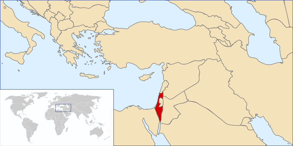
Original file (SVG file, nominally 1,000 × 500 pixels, file size: 2.76 MB)
| This is a file from the
Wikimedia Commons. Information from its
description page there is shown below. Commons is a freely licensed media file repository. You can help. |
Summary
| Description |
|
| Date | (UTC) |
| Source | Original by User:Vardion, File:A large blank world map with oceans marked in blue.svg |
| Author |
|
| Permission ( Reusing this file) |
Own work, copyleft: Multi-license with GFDL and Creative Commons CC-BY-SA-2.5 and older versions (2.0 and 1.0) |
| SVG development |
Licensing
I, the copyright holder of this work, hereby publish it under the following licenses:
|
|
Permission is granted to copy, distribute and/or modify this document under the terms of the GNU Free Documentation License, Version 1.2 or any later version published by the Free Software Foundation; with no Invariant Sections, no Front-Cover Texts, and no Back-Cover Texts. A copy of the license is included in the section entitled GNU Free Documentation License. |
| This file is licensed under the Creative Commons Attribution-Share Alike 3.0 Unported license. | ||
| ||
| This licensing tag was added to this file as part of the GFDL licensing update. |
This file is licensed under the
Creative Commons Attribution-Share Alike
2.5 Generic,
2.0 Generic and
1.0 Generic license.
- You are free:
- to share – to copy, distribute and transmit the work
- to remix – to adapt the work
- Under the following conditions:
- attribution – You must give appropriate credit, provide a link to the license, and indicate if changes were made. You may do so in any reasonable manner, but not in any way that suggests the licensor endorses you or your use.
- share alike – If you remix, transform, or build upon the material, you must distribute your contributions under the same or compatible license as the original.
You may select the license of your choice.
File history
Click on a date/time to view the file as it appeared at that time.
| Date/Time | Thumbnail | Dimensions | User | Comment | |
|---|---|---|---|---|---|
| current | 19:17, 14 October 2014 |
| 1,000 × 500 (2.76 MB) | Gagiiboli | Reverted to version as of 02:03, 21 December 2013 |
| 19:11, 14 October 2014 |
| 1,000 × 500 (302 KB) | Gagiiboli | Ajout de la Cisjordanie comme territoire "semi-rattaché" | |
| 02:03, 21 December 2013 |
| 1,000 × 500 (2.76 MB) | No More Cats | Reverted to version as of 11:19, 6 February 2011 | |
| 05:21, 14 February 2011 |
| 1,000 × 500 (2.76 MB) | Bolonium | Reverted to version as of 10:20, 28 January 2011 | |
| 11:19, 6 February 2011 |
| 1,000 × 500 (2.76 MB) | IJA | Reverted to version as of 08:25, 9 April 2010 | |
| 10:20, 28 January 2011 |
| 1,000 × 500 (2.76 MB) | Eli.berckovitz | Reverted to version as of 17:32, 6 November 2010 | |
| 00:08, 28 January 2011 |
| 1,000 × 500 (2.76 MB) | UmNissan | Correction of the Israel borders to their current status. | |
| 17:32, 6 November 2010 |
| 1,000 × 500 (2.76 MB) | Nicolay Sidorov | Kosovo isn't UN-recognized state. If you want to separate Kosovo from Serbia in this map, you should make the same сoncerning Abkhazia and South Ossetia. | |
| 08:25, 9 April 2010 |
| 1,000 × 500 (2.76 MB) | DerFuchs | Reverted to version as of 11:36, 4 September 2009 | |
| 08:25, 9 April 2010 |
| 1,000 × 500 (2.76 MB) | DerFuchs | Minor |
File usage
The following pages on the English Wikipedia use this file (pages on other projects are not listed):
- Geography of Israel
- Index of Israel-related articles
- International rankings of Israel
- List of Israelis
- Outline of Israel
- United Nations Security Council Resolution 469
- Talk:Georgia (country)/Archive 4
- User:Falcaorib/Israel and Palestine
- User:Gimmetrow/test
- User:Gimmetrow/test2
- User:Mr.Z-man/norefs
- User:Mr.Z-man/withrefs
- Wikipedia talk:WikiProject Israel/Archive 4
Global file usage
The following other wikis use this file:
- Usage on ar.wikipedia.org
- Usage on arz.wikipedia.org
- Usage on as.wikipedia.org
- Usage on av.wikipedia.org
- Usage on awa.wikipedia.org
- Usage on az.wikipedia.org
- Usage on az.wiktionary.org
- Usage on be.wikipedia.org
- Usage on bg.wikipedia.org
- Usage on bn.wikipedia.org
- Usage on ca.wikipedia.org
- Usage on ca.wikinews.org
- Usage on ckb.wikipedia.org
- Usage on crh.wikipedia.org
- Usage on cs.wikipedia.org
- Usage on cu.wikipedia.org
- Usage on cy.wikipedia.org
- Usage on de.wikipedia.org
- Usage on de.wiktionary.org
- Usage on el.wikivoyage.org
- Usage on eo.wikipedia.org
- Usage on es.wikinews.org
- Categoría:Israel
- Vuelven a operar a Sharón
- Israel desmiente utilización de bombas de uranio
- Liberan a Alan Johnston, reportero de BBC secuestrado en Gaza
- Plantilla:Israel
- Israel está considerando el plan de paz árabe
- Israel sigue atacando y Hamas convoca operaciones suicidas
- Israel rechaza la tregua y podría atacar por tierra
- Israel aisla Gaza: ni periodistas, ni observadores, ni ayuda humanitaria
- Israel y Hamás rechazan cese al fuego por parte de la ONU
- Una mujer en Israel fracasa en su intento de suicidio sobre las vías de un tren
- Israel desaloja a dos familias palestinas de sus hogares
- Usuario:Keepscases~eswikinews/Locations
- Prohíben la conmemoración de Nakba en Israel
- Escolar muere en Israel luego de ataque con cohete proveniente de Gaza
- Wikimania 2011 reúne a wikipedistas de todo el mundo
- Israel detiene dos navíos con ayuda humanitaria para Gaza
- Las Macabiadas 2013 inician en Jerusalén
- Ariel Sharón cumple 8 años en coma profundo
View more global usage of this file.