
Original file (1,357 × 628 pixels, file size: 34 KB, MIME type: image/png)
| This is a file from the
Wikimedia Commons. Information from its
description page there is shown below. Commons is a freely licensed media file repository. You can help. |
Summary
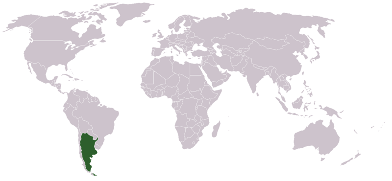
Location map for Argentina.
Created by User:dbenbenn from Image:BlankMap-World.png.
Licensing
| |
This work has been released into the
public domain by its author,
Vardion, at the
English Wikipedia project. This applies worldwide. In case this is not legally possible: |

|
File:LocationArgentina.svg is a vector version of this file. It should be used in place of this PNG file when not inferior.
File:LocationArgentina.png →
File:LocationArgentina.svg
For more information, see
Help:SVG. |
 |
File history
Click on a date/time to view the file as it appeared at that time.
| Date/Time | Thumbnail | Dimensions | User | Comment | |
|---|---|---|---|---|---|
| current | 20:56, 18 July 2020 |
| 1,357 × 628 (34 KB) | Maphobbyist | South Sudan and Montenegro borders |
| 07:02, 12 February 2005 |
 | 1,357 × 628 (21 KB) | Dbenbenn | higher resolution version, {{GFDL}} | |
| 03:15, 11 December 2004 |
 | 250 × 115 (17 KB) | EugeneZelenko | Location map for the Argentina.<br/>Originally created for English Wikipedia by Vardion.<br/>{{PD}}<br/> Category:Country locator maps |
File usage
Global file usage
The following other wikis use this file:
- Usage on ar.wikinews.org
- Usage on bg.wikipedia.org
- Usage on bpy.wikipedia.org
- Usage on ca.wikinews.org
- La nacionalització d'YPF pel govern argentí crea polèmica
- Plantilla:Infotaula Argentina
- Argentina: les fortes pluges provoquen la mort d'unes 50 persones
- Argentina: s'ha mort el dictador argentí Jorge Rafael Videla
- Alberto Nisman, el fiscal que va denunciar la presidenta de l'Argentina, va ser trobat mort
- Periodista d'Argentina que va tenir primícia amb la mort del fiscal Nisman va fugir
- Deu persones moren en un accident aeri a Villa Castelli, Argentina
- Usage on de.wikibooks.org
- Usage on de.wikinews.org
- Usage on de.wiktionary.org
- Usage on el.wikinews.org
- Σεισμός 6,2 Ρίχτερ στην Αργεντινή
- Πρότυπο:Αργεντινή
- Η Πρόεδρος της Αργεντινής πάσχει από καρκίνο του θυρεοειδούς
- Επιτυχής ήταν η επέμβαση για καρκίνο της θυρεοειδούς στην Κριστίνα Φερνάντες
- Στη μερική εθνικοποίηση της YPF προχώρησε η Αργεντινή
- Επτά νεκροί και δεκαεπτά τραυματίες στην Αργεντινή
- Η Standard and Poor's υποβάθμισε την πιστοληπτική ικανότητα της Αργεντινής
- Σε συναγερμό η Αργεντινή και η Χιλή
- Αργεντινή και Βρετανία συγκρούονται για τα νησιά Φόκλαντς
- Δημοψήφισμα στις Νήσους Φώκλαντ σχετικά με τη μελλοντική τους κατάσταση
- Usage on el.wiktionary.org
- Usage on en.wikinews.org
- Usage on en.wiktionary.org
- Usage on es.wikipedia.org
- Usage on eu.wiktionary.org
- Usage on fa.wikinews.org
- Usage on fr.wikinews.org
- Usage on fr.wiktionary.org
- Usage on fur.wikipedia.org
- Usage on he.wikipedia.org
- Usage on incubator.wikimedia.org
- Usage on ja.wikinews.org
- Usage on ja.wiktionary.org
- Usage on ka.wiktionary.org
- Usage on ko.wikipedia.org
View more global usage of this file.
Metadata
Original file (1,357 × 628 pixels, file size: 34 KB, MIME type: image/png)
| This is a file from the
Wikimedia Commons. Information from its
description page there is shown below. Commons is a freely licensed media file repository. You can help. |
Summary
Location map for Argentina.
Created by User:dbenbenn from Image:BlankMap-World.png.
Licensing
| |
This work has been released into the
public domain by its author,
Vardion, at the
English Wikipedia project. This applies worldwide. In case this is not legally possible: |
|
|
File:LocationArgentina.svg is a vector version of this file. It should be used in place of this PNG file when not inferior.
File:LocationArgentina.png →
File:LocationArgentina.svg
For more information, see
Help:SVG. |
|
File history
Click on a date/time to view the file as it appeared at that time.
| Date/Time | Thumbnail | Dimensions | User | Comment | |
|---|---|---|---|---|---|
| current | 20:56, 18 July 2020 |
| 1,357 × 628 (34 KB) | Maphobbyist | South Sudan and Montenegro borders |
| 07:02, 12 February 2005 |
| 1,357 × 628 (21 KB) | Dbenbenn | higher resolution version, {{GFDL}} | |
| 03:15, 11 December 2004 |
| 250 × 115 (17 KB) | EugeneZelenko | Location map for the Argentina.<br/>Originally created for English Wikipedia by Vardion.<br/>{{PD}}<br/> Category:Country locator maps |
File usage
Global file usage
The following other wikis use this file:
- Usage on ar.wikinews.org
- Usage on bg.wikipedia.org
- Usage on bpy.wikipedia.org
- Usage on ca.wikinews.org
- La nacionalització d'YPF pel govern argentí crea polèmica
- Plantilla:Infotaula Argentina
- Argentina: les fortes pluges provoquen la mort d'unes 50 persones
- Argentina: s'ha mort el dictador argentí Jorge Rafael Videla
- Alberto Nisman, el fiscal que va denunciar la presidenta de l'Argentina, va ser trobat mort
- Periodista d'Argentina que va tenir primícia amb la mort del fiscal Nisman va fugir
- Deu persones moren en un accident aeri a Villa Castelli, Argentina
- Usage on de.wikibooks.org
- Usage on de.wikinews.org
- Usage on de.wiktionary.org
- Usage on el.wikinews.org
- Σεισμός 6,2 Ρίχτερ στην Αργεντινή
- Πρότυπο:Αργεντινή
- Η Πρόεδρος της Αργεντινής πάσχει από καρκίνο του θυρεοειδούς
- Επιτυχής ήταν η επέμβαση για καρκίνο της θυρεοειδούς στην Κριστίνα Φερνάντες
- Στη μερική εθνικοποίηση της YPF προχώρησε η Αργεντινή
- Επτά νεκροί και δεκαεπτά τραυματίες στην Αργεντινή
- Η Standard and Poor's υποβάθμισε την πιστοληπτική ικανότητα της Αργεντινής
- Σε συναγερμό η Αργεντινή και η Χιλή
- Αργεντινή και Βρετανία συγκρούονται για τα νησιά Φόκλαντς
- Δημοψήφισμα στις Νήσους Φώκλαντ σχετικά με τη μελλοντική τους κατάσταση
- Usage on el.wiktionary.org
- Usage on en.wikinews.org
- Usage on en.wiktionary.org
- Usage on es.wikipedia.org
- Usage on eu.wiktionary.org
- Usage on fa.wikinews.org
- Usage on fr.wikinews.org
- Usage on fr.wiktionary.org
- Usage on fur.wikipedia.org
- Usage on he.wikipedia.org
- Usage on incubator.wikimedia.org
- Usage on ja.wikinews.org
- Usage on ja.wiktionary.org
- Usage on ka.wiktionary.org
- Usage on ko.wikipedia.org
View more global usage of this file.