
Size of this preview:
800 × 547 pixels. Other resolutions:
320 × 219 pixels |
640 × 438 pixels |
1,024 × 700 pixels |
1,280 × 876 pixels |
1,902 × 1,301 pixels.
Original file (1,902 × 1,301 pixels, file size: 175 KB, MIME type: image/jpeg)
Summary
| Description |
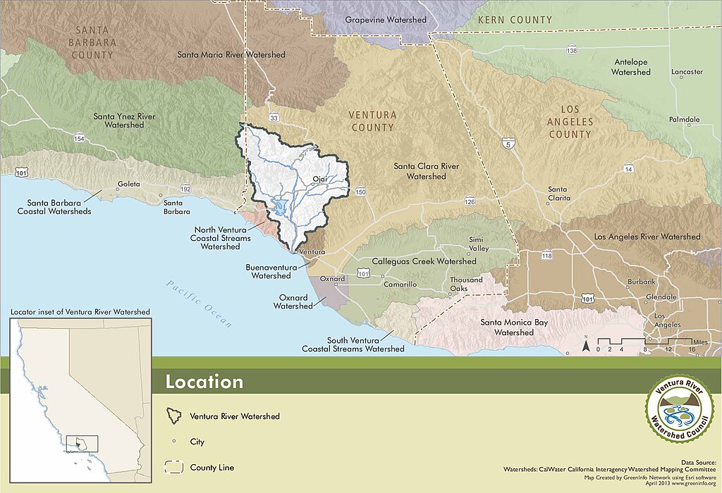
Part of the Ventura River Watershed Council's online Map | ||
|---|---|---|---|
| Source |
Atlas at:
http://venturawatershed.org/map-atlas
| ||
| Date | |||
| Author |
| ||
| Permission ( Reusing this file) |
See below.
|
| This media file is either in the public domain or published under a free license, and contains no inbound file links. If this media file is useful, then it should be transferred to the Wikimedia Commons. If this media is not useful, then please propose it for deletion or list it at files for discussion. |
File history
Click on a date/time to view the file as it appeared at that time.
| Date/Time | Thumbnail | Dimensions | User | Comment | |
|---|---|---|---|---|---|
| current | 19:22, 23 June 2015 |
| 1,902 × 1,301 (175 KB) | LorraineWalter ( talk | contribs) | Part of the Ventura River Watershed Council's online Map Atlas at: http://venturawatershed.org/map-atlas |
You cannot overwrite this file.
File usage
No pages on the English Wikipedia use this file (pages on other projects are not listed).
Size of this preview:
800 × 547 pixels. Other resolutions:
320 × 219 pixels |
640 × 438 pixels |
1,024 × 700 pixels |
1,280 × 876 pixels |
1,902 × 1,301 pixels.
Original file (1,902 × 1,301 pixels, file size: 175 KB, MIME type: image/jpeg)
Summary
| Description |
Part of the Ventura River Watershed Council's online Map | ||
|---|---|---|---|
| Source |
Atlas at:
http://venturawatershed.org/map-atlas
| ||
| Date | |||
| Author |
| ||
| Permission ( Reusing this file) |
See below.
|
| This media file is either in the public domain or published under a free license, and contains no inbound file links. If this media file is useful, then it should be transferred to the Wikimedia Commons. If this media is not useful, then please propose it for deletion or list it at files for discussion. |
File history
Click on a date/time to view the file as it appeared at that time.
| Date/Time | Thumbnail | Dimensions | User | Comment | |
|---|---|---|---|---|---|
| current | 19:22, 23 June 2015 |
| 1,902 × 1,301 (175 KB) | LorraineWalter ( talk | contribs) | Part of the Ventura River Watershed Council's online Map Atlas at: http://venturawatershed.org/map-atlas |
You cannot overwrite this file.
File usage
No pages on the English Wikipedia use this file (pages on other projects are not listed).