Photos • Location


Size of this preview:
800 × 533 pixels. Other resolutions:
320 × 213 pixels |
640 × 427 pixels |
1,024 × 683 pixels |
1,280 × 853 pixels |
2,560 × 1,707 pixels |
5,184 × 3,456 pixels.
Original file (5,184 × 3,456 pixels, file size: 6.57 MB, MIME type: image/jpeg)
| This is a file from the
Wikimedia Commons. Information from its
description page there is shown below. Commons is a freely licensed media file repository. You can help. |
| Description |
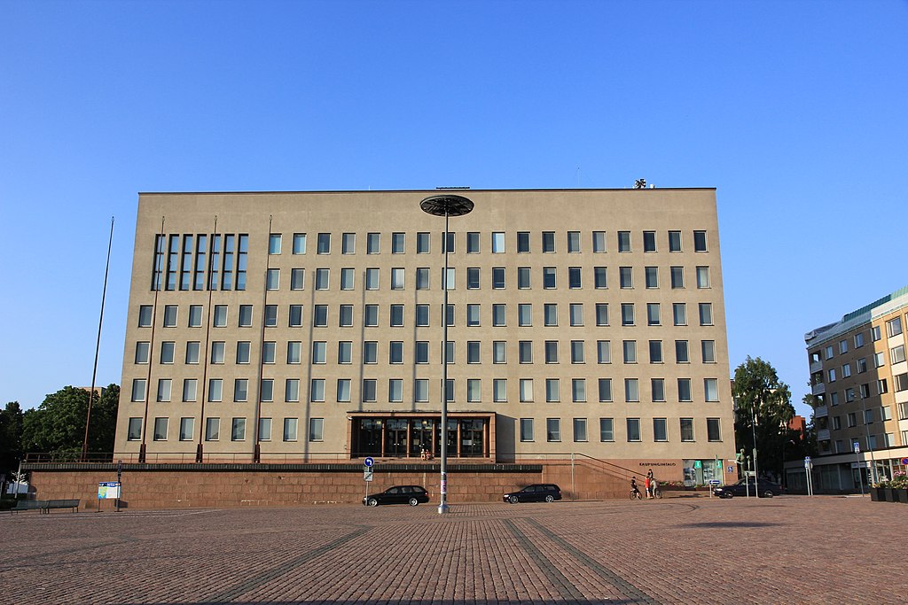
English: Kotka city hall west side.
Suomi: Kotkan kaupungintalon länsipuoli. |
||
| Date | |||
| Source | Own work | ||
| Author | MKFI | ||
| Permission ( Reusing this file) |
|
| Camera location | | View this and other nearby images on: OpenStreetMap |
|
|---|
File history
Click on a date/time to view the file as it appeared at that time.
| Date/Time | Thumbnail | Dimensions | User | Comment | |
|---|---|---|---|---|---|
| current | 18:34, 9 November 2013 |
| 5,184 × 3,456 (6.57 MB) | MKFI | {{Information |Description ={{en|1=Kotka city hall west side.}} {{fi|1=Kotkan kaupungintalon länsipuoli.}} |Source ={{Own}} |Author = MKFI |Date =2013-07-09 |Permission ={{PD-self}} |other_versions = }} {{... |
File usage
The following pages on the English Wikipedia use this file (pages on other projects are not listed):
Global file usage
The following other wikis use this file:
- Usage on en.wikivoyage.org
- Usage on fi.wikipedia.org
- Usage on fr.wikipedia.org
- Usage on smn.wikipedia.org
- Usage on sr.wikipedia.org
- Usage on www.wikidata.org
Metadata
Size of this preview:
800 × 533 pixels. Other resolutions:
320 × 213 pixels |
640 × 427 pixels |
1,024 × 683 pixels |
1,280 × 853 pixels |
2,560 × 1,707 pixels |
5,184 × 3,456 pixels.
Original file (5,184 × 3,456 pixels, file size: 6.57 MB, MIME type: image/jpeg)
| This is a file from the
Wikimedia Commons. Information from its
description page there is shown below. Commons is a freely licensed media file repository. You can help. |
| Description |
English: Kotka city hall west side.
Suomi: Kotkan kaupungintalon länsipuoli. |
||
| Date | |||
| Source | Own work | ||
| Author | MKFI | ||
| Permission ( Reusing this file) |
|
| Camera location | | View this and other nearby images on: OpenStreetMap |
|
|---|
File history
Click on a date/time to view the file as it appeared at that time.
| Date/Time | Thumbnail | Dimensions | User | Comment | |
|---|---|---|---|---|---|
| current | 18:34, 9 November 2013 |
| 5,184 × 3,456 (6.57 MB) | MKFI | {{Information |Description ={{en|1=Kotka city hall west side.}} {{fi|1=Kotkan kaupungintalon länsipuoli.}} |Source ={{Own}} |Author = MKFI |Date =2013-07-09 |Permission ={{PD-self}} |other_versions = }} {{... |
File usage
The following pages on the English Wikipedia use this file (pages on other projects are not listed):
Global file usage
The following other wikis use this file:
- Usage on en.wikivoyage.org
- Usage on fi.wikipedia.org
- Usage on fr.wikipedia.org
- Usage on smn.wikipedia.org
- Usage on sr.wikipedia.org
- Usage on www.wikidata.org