Photos • Location


Size of this preview:
800 × 600 pixels. Other resolutions:
320 × 240 pixels |
640 × 480 pixels |
1,024 × 768 pixels |
1,280 × 960 pixels |
2,048 × 1,536 pixels.
Original file (2,048 × 1,536 pixels, file size: 1.04 MB, MIME type: image/jpeg)
| This is a file from the
Wikimedia Commons. Information from its
description page there is shown below. Commons is a freely licensed media file repository. You can help. |
Summary
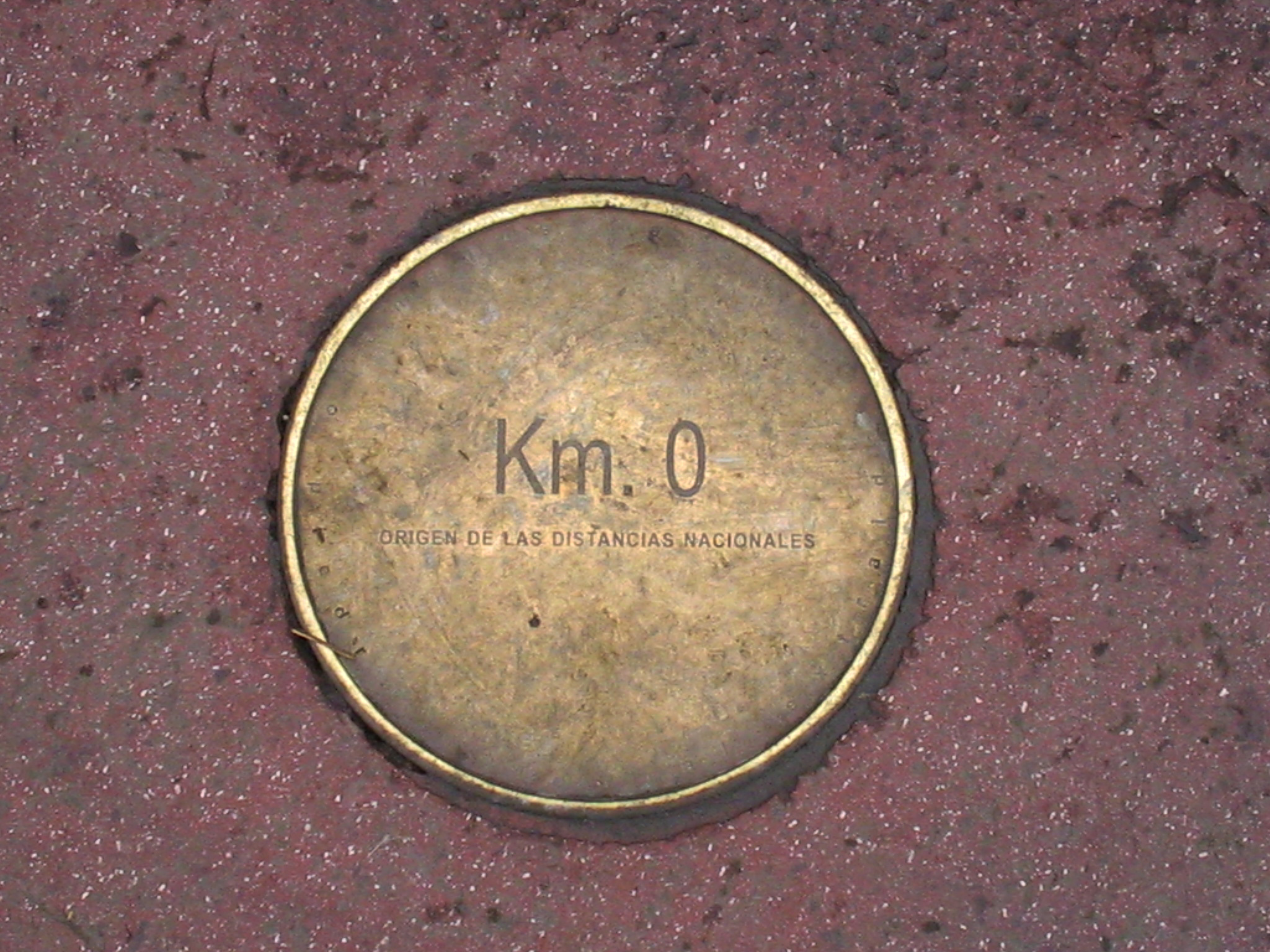
| Description | Km. 0 en Plaza de Armas de Santiago de Chile |
| Date | |
| Source | Own work |
| Author | User:Carlos yo |
| Permission ( Reusing this file) |
PD-self |
| Openstreetmap entry | Link to Openstreetmap |
| Object location |
| View this and other nearby images on: OpenStreetMap |
|
|---|
Licensing
| I, the copyright holder of this work, release this work into the
public domain. This applies worldwide. In some countries this may not be legally possible; if so: I grant anyone the right to use this work for any purpose, without any conditions, unless such conditions are required by law. |
File history
Click on a date/time to view the file as it appeared at that time.
| Date/Time | Thumbnail | Dimensions | User | Comment | |
|---|---|---|---|---|---|
| current | 05:44, 7 April 2010 |
| 2,048 × 1,536 (1.04 MB) | Cantus | clean up dirt |
| 13:31, 19 September 2006 |
 | 2,048 × 1,536 (847 KB) | Carlos yo | {{Information |Description=Km. 0 en Plaza de Armas de Santiago de Chile |Source=Trabajo propio |Date=18 de septiembre de 2006 |Author= User:Carlos yo |Permission=PD-self }} |
File usage
The following pages on the English Wikipedia use this file (pages on other projects are not listed):
Global file usage
The following other wikis use this file:
- Usage on fr.wikipedia.org
- Usage on he.wikipedia.org
- Usage on uk.wikipedia.org
Metadata
Size of this preview:
800 × 600 pixels. Other resolutions:
320 × 240 pixels |
640 × 480 pixels |
1,024 × 768 pixels |
1,280 × 960 pixels |
2,048 × 1,536 pixels.
Original file (2,048 × 1,536 pixels, file size: 1.04 MB, MIME type: image/jpeg)
| This is a file from the
Wikimedia Commons. Information from its
description page there is shown below. Commons is a freely licensed media file repository. You can help. |
Summary
| Description | Km. 0 en Plaza de Armas de Santiago de Chile |
| Date | |
| Source | Own work |
| Author | User:Carlos yo |
| Permission ( Reusing this file) |
PD-self |
| Openstreetmap entry | Link to Openstreetmap |
| Object location |
| View this and other nearby images on: OpenStreetMap |
|
|---|
Licensing
| I, the copyright holder of this work, release this work into the
public domain. This applies worldwide. In some countries this may not be legally possible; if so: I grant anyone the right to use this work for any purpose, without any conditions, unless such conditions are required by law. |
File history
Click on a date/time to view the file as it appeared at that time.
| Date/Time | Thumbnail | Dimensions | User | Comment | |
|---|---|---|---|---|---|
| current | 05:44, 7 April 2010 |
| 2,048 × 1,536 (1.04 MB) | Cantus | clean up dirt |
| 13:31, 19 September 2006 |
| 2,048 × 1,536 (847 KB) | Carlos yo | {{Information |Description=Km. 0 en Plaza de Armas de Santiago de Chile |Source=Trabajo propio |Date=18 de septiembre de 2006 |Author= User:Carlos yo |Permission=PD-self }} |
File usage
The following pages on the English Wikipedia use this file (pages on other projects are not listed):
Global file usage
The following other wikis use this file:
- Usage on fr.wikipedia.org
- Usage on he.wikipedia.org
- Usage on uk.wikipedia.org