Photos • Location


Size of this preview:
800 × 600 pixels. Other resolutions:
320 × 240 pixels |
640 × 480 pixels |
1,024 × 768 pixels |
1,280 × 960 pixels |
1,600 × 1,200 pixels.
Original file (1,600 × 1,200 pixels, file size: 200 KB, MIME type: image/jpeg)
| This is a file from the
Wikimedia Commons. Information from its
description page there is shown below. Commons is a freely licensed media file repository. You can help. |
Summary
| Description |
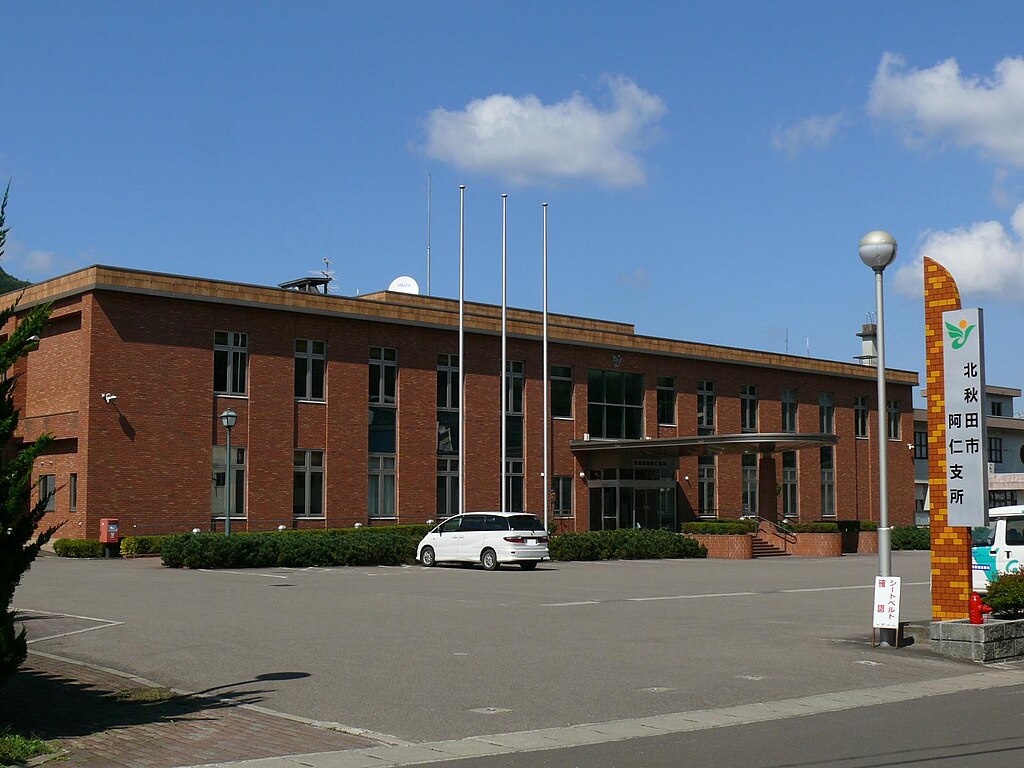
English:
Kitaakita cityKitaakita city Ani office.(Akita,Japan)
日本語:
北秋田市の阿仁支所。 |
||
| Date | |||
| Source | Own work | ||
| Author | まも(Mamo) | ||
| Permission ( Reusing this file) |
|
| Camera location |
| View this and other nearby images on: OpenStreetMap |
|
|---|
File history
Click on a date/time to view the file as it appeared at that time.
| Date/Time | Thumbnail | Dimensions | User | Comment | |
|---|---|---|---|---|---|
| current | 13:07, 30 November 2010 |
| 1,600 × 1,200 (200 KB) | まも | == {{int:filedesc}} == {{Information |Description= {{en| Kitaakita cityKitaakita city Ani office.(Akita,Japan)}} {{ja| 北秋田市の阿仁支所。}} |Source= {{en|own work(photographed by [[User:まも|ま |
File usage
The following pages on the English Wikipedia use this file (pages on other projects are not listed):
Global file usage
Metadata
Size of this preview:
800 × 600 pixels. Other resolutions:
320 × 240 pixels |
640 × 480 pixels |
1,024 × 768 pixels |
1,280 × 960 pixels |
1,600 × 1,200 pixels.
Original file (1,600 × 1,200 pixels, file size: 200 KB, MIME type: image/jpeg)
| This is a file from the
Wikimedia Commons. Information from its
description page there is shown below. Commons is a freely licensed media file repository. You can help. |
Summary
| Description |
English:
Kitaakita cityKitaakita city Ani office.(Akita,Japan)
日本語:
北秋田市の阿仁支所。 |
||
| Date | |||
| Source | Own work | ||
| Author | まも(Mamo) | ||
| Permission ( Reusing this file) |
|
| Camera location |
| View this and other nearby images on: OpenStreetMap |
|
|---|
File history
Click on a date/time to view the file as it appeared at that time.
| Date/Time | Thumbnail | Dimensions | User | Comment | |
|---|---|---|---|---|---|
| current | 13:07, 30 November 2010 |
| 1,600 × 1,200 (200 KB) | まも | == {{int:filedesc}} == {{Information |Description= {{en| Kitaakita cityKitaakita city Ani office.(Akita,Japan)}} {{ja| 北秋田市の阿仁支所。}} |Source= {{en|own work(photographed by [[User:まも|ま |
File usage
The following pages on the English Wikipedia use this file (pages on other projects are not listed):