Photos • Location


Size of this preview:
800 × 600 pixels. Other resolutions:
320 × 240 pixels |
640 × 480 pixels |
1,024 × 768 pixels |
1,280 × 960 pixels |
2,560 × 1,920 pixels |
2,816 × 2,112 pixels.
Original file (2,816 × 2,112 pixels, file size: 2.19 MB, MIME type: image/jpeg)
| This is a file from the
Wikimedia Commons. Information from its
description page there is shown below. Commons is a freely licensed media file repository. You can help. |
|
This is an image of a place or building that is listed on the
National Register of Historic Places in the
United States of America. Its reference number is
75001428. |
| Camera location |
| View this and other nearby images on: OpenStreetMap |
|
|---|
| Description |
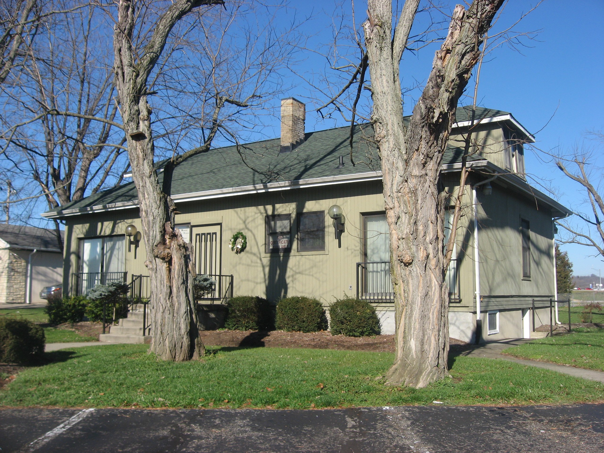
English: A building on the site of the
Jehu John House on Stone Road in
Harrison,
Ohio,
United States. The house was built in 1836; it is listed on the
National Register of Historic Places, although it has been destroyed. |
||
| Date | Taken on 14 December 2012 | ||
| Source | Own work | ||
| Author | Nyttend | ||
| Permission ( Reusing this file) |
|
File history
Click on a date/time to view the file as it appeared at that time.
| Date/Time | Thumbnail | Dimensions | User | Comment | |
|---|---|---|---|---|---|
| current | 17:48, 30 December 2012 |
| 2,816 × 2,112 (2.19 MB) | Nyttend | {{NRHP|75001428}} {{Location|39|15|29|N|84|47|50|W}} {{Information |Description={{en|A building on the site of the {{w|Jehu John House}} on Stone Road in {{w|Harrison, Ohio|Harrison}}, {{w|Ohio}}, {{w|United States}}. The house was built in 1836; it i... |
File usage
The following pages on the English Wikipedia use this file (pages on other projects are not listed):
Global file usage
The following other wikis use this file:
- Usage on www.wikidata.org
Metadata
Size of this preview:
800 × 600 pixels. Other resolutions:
320 × 240 pixels |
640 × 480 pixels |
1,024 × 768 pixels |
1,280 × 960 pixels |
2,560 × 1,920 pixels |
2,816 × 2,112 pixels.
Original file (2,816 × 2,112 pixels, file size: 2.19 MB, MIME type: image/jpeg)
| This is a file from the
Wikimedia Commons. Information from its
description page there is shown below. Commons is a freely licensed media file repository. You can help. |
|
This is an image of a place or building that is listed on the
National Register of Historic Places in the
United States of America. Its reference number is
75001428. |
| Camera location |
| View this and other nearby images on: OpenStreetMap |
|
|---|
| Description |
English: A building on the site of the
Jehu John House on Stone Road in
Harrison,
Ohio,
United States. The house was built in 1836; it is listed on the
National Register of Historic Places, although it has been destroyed. |
||
| Date | Taken on 14 December 2012 | ||
| Source | Own work | ||
| Author | Nyttend | ||
| Permission ( Reusing this file) |
|
File history
Click on a date/time to view the file as it appeared at that time.
| Date/Time | Thumbnail | Dimensions | User | Comment | |
|---|---|---|---|---|---|
| current | 17:48, 30 December 2012 |
| 2,816 × 2,112 (2.19 MB) | Nyttend | {{NRHP|75001428}} {{Location|39|15|29|N|84|47|50|W}} {{Information |Description={{en|A building on the site of the {{w|Jehu John House}} on Stone Road in {{w|Harrison, Ohio|Harrison}}, {{w|Ohio}}, {{w|United States}}. The house was built in 1836; it i... |
File usage
The following pages on the English Wikipedia use this file (pages on other projects are not listed):
Global file usage
The following other wikis use this file:
- Usage on www.wikidata.org