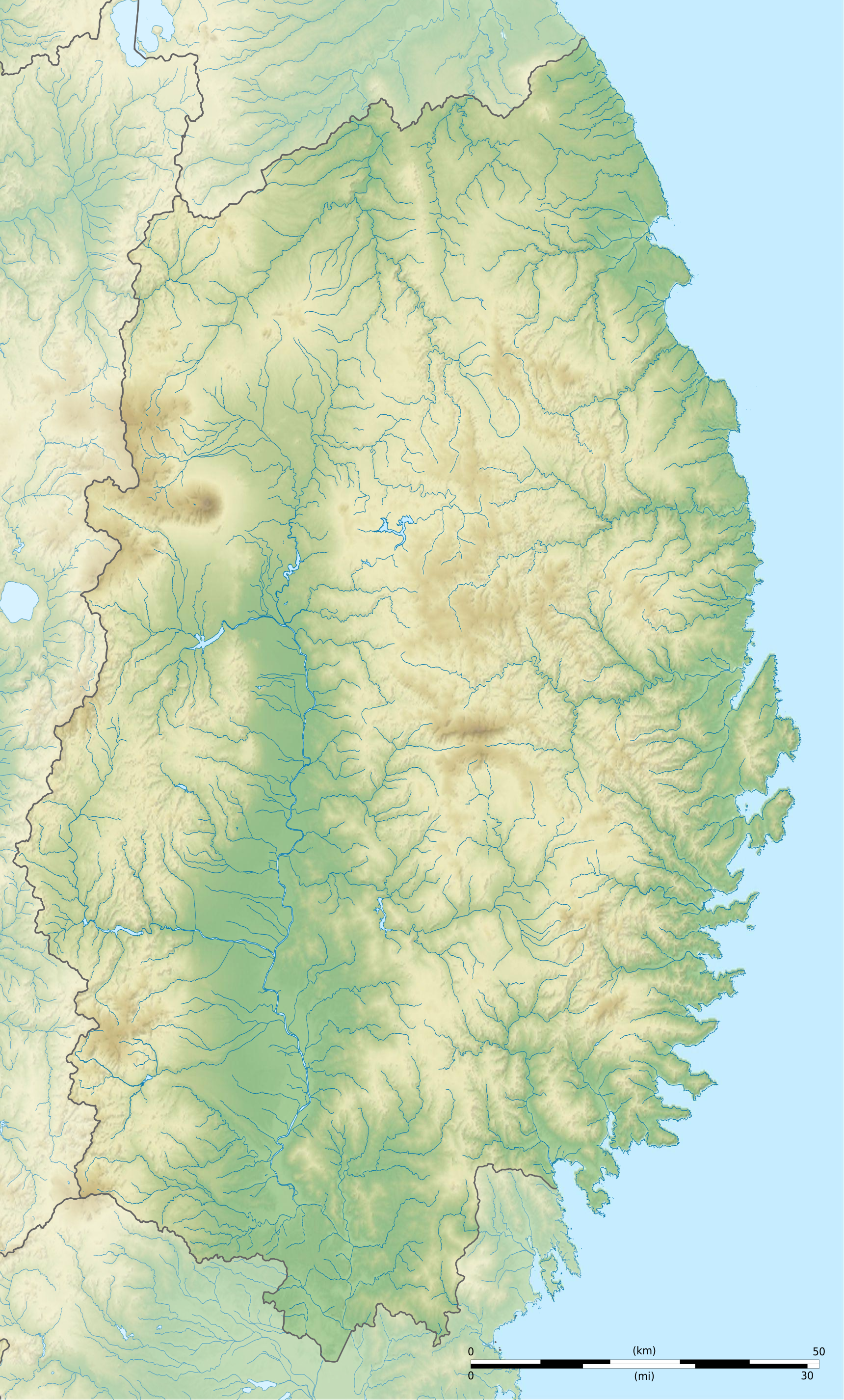
Português: Carta topográfica de la província de
Iwate.
Échelle approximative des données topographiques pour les srtm3: 1:372 000 (précision : 93 m) ; Approximate scale of topographic data: 1:372,000 (accuracy : about 93 m);
Approximate geographic limits of the map : * N : 40.5 * S : 38.7 * E : 142.15 * O : 140.63
Shaded relief / relief ombré : image of N-W lightning position. Le relief ombré est une image bitmap embarquée dans le fichier SVG. / The shaded relief is a raster image embedded in the SVG file.
Any use of this image can be made as long as you credit me (
Wikimedia Commons user: Bourrichon) as the author and distribute the copies and derivative works under the same license(s) that the one(s) stated below. A
message with a reply address would also be greatly appreciated.
This map was improved or created by the
Wikigraphists of the
Graphic Lab (fr). You can
propose images to clean up, improve, create or translate as well.
This SVG file contains embedded text that can be translated into your language, using any capable SVG editor, text editor or the
SVG Translate tool. For more information see:
About translating SVG files.
to share – to copy, distribute and transmit the work
to remix – to adapt the work
Under the following conditions:
attribution – You must give appropriate credit, provide a link to the license, and indicate if changes were made. You may do so in any reasonable manner, but not in any way that suggests the licensor endorses you or your use.
share alike – If you remix, transform, or build upon the material, you must distribute your contributions under the
same or compatible license as the original.
== {{int:filedesc}} == {{Location|39|00|00|N|141|00|00|E|scale:10000}} {{Information |Description= {{fr|Carte topographique vierge de la
fr:Préfecture d'Iwate, au
Japon, destinée à la géolocalisation.}} {{de|Topographische Kart...
File usage
The following pages on the English Wikipedia use this file (pages on other projects are not listed):


