Photos • Location


Size of this preview:
800 × 320 pixels. Other resolutions:
320 × 128 pixels |
640 × 256 pixels |
1,024 × 409 pixels |
1,280 × 511 pixels |
2,578 × 1,030 pixels.
Original file (2,578 × 1,030 pixels, file size: 467 KB, MIME type: image/jpeg)
| This is a file from the
Wikimedia Commons. Information from its
description page there is shown below. Commons is a freely licensed media file repository. You can help. |
Summary
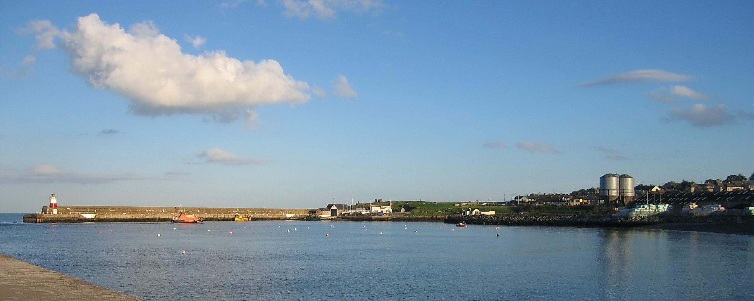
| Description | The harbour in Wicklow Town |
| Date | |
| Source | Own work |
| Author | en:User:Sarah777 |
| Permission ( Reusing this file) |
PD |
| Other versions |
| Camera location | | View this and other nearby images on: OpenStreetMap |
|
|---|
_heading:112.00&language=en)
| Object location | | View this and other nearby images on: OpenStreetMap |
|
|---|
_heading:112.00&language=en)
Licensing
| |
This work has been released into the
public domain by its author,
Sarah777, at the
English Wikipedia project. This applies worldwide. In case this is not legally possible: |
File history
Click on a date/time to view the file as it appeared at that time.
| Date/Time | Thumbnail | Dimensions | User | Comment | |
|---|---|---|---|---|---|
| current | 07:03, 27 October 2007 |
| 2,578 × 1,030 (467 KB) | DaisyDaisy | {{Information |Description=The harbour in Wicklow Town |Source= en-Wikipedia ( en:Image:IMGWicklowHarbour 4256w.jpg |Date=2006/11/05 original uploaded |Author= en:User:Sarah777 |Permission=PD |other_versions= }} |
File usage
The following pages on the English Wikipedia use this file (pages on other projects are not listed):
Global file usage
The following other wikis use this file:
- Usage on eu.wikipedia.org
- Usage on fa.wikipedia.org
- Usage on fy.wikipedia.org
- Usage on id.wikipedia.org
- Usage on ja.wikipedia.org
- Usage on ka.wikipedia.org
- Usage on lt.wikipedia.org
- Usage on nn.wikipedia.org
- Usage on ru.wikipedia.org
Metadata
Size of this preview:
800 × 320 pixels. Other resolutions:
320 × 128 pixels |
640 × 256 pixels |
1,024 × 409 pixels |
1,280 × 511 pixels |
2,578 × 1,030 pixels.
Original file (2,578 × 1,030 pixels, file size: 467 KB, MIME type: image/jpeg)
| This is a file from the
Wikimedia Commons. Information from its
description page there is shown below. Commons is a freely licensed media file repository. You can help. |
Summary
| Description | The harbour in Wicklow Town |
| Date | |
| Source | Own work |
| Author | en:User:Sarah777 |
| Permission ( Reusing this file) |
PD |
| Other versions |
| Camera location | | View this and other nearby images on: OpenStreetMap |
|
|---|
| Object location | | View this and other nearby images on: OpenStreetMap |
|
|---|
Licensing
| |
This work has been released into the
public domain by its author,
Sarah777, at the
English Wikipedia project. This applies worldwide. In case this is not legally possible: |
File history
Click on a date/time to view the file as it appeared at that time.
| Date/Time | Thumbnail | Dimensions | User | Comment | |
|---|---|---|---|---|---|
| current | 07:03, 27 October 2007 |
| 2,578 × 1,030 (467 KB) | DaisyDaisy | {{Information |Description=The harbour in Wicklow Town |Source= en-Wikipedia ( en:Image:IMGWicklowHarbour 4256w.jpg |Date=2006/11/05 original uploaded |Author= en:User:Sarah777 |Permission=PD |other_versions= }} |
File usage
The following pages on the English Wikipedia use this file (pages on other projects are not listed):
Global file usage
The following other wikis use this file:
- Usage on eu.wikipedia.org
- Usage on fa.wikipedia.org
- Usage on fy.wikipedia.org
- Usage on id.wikipedia.org
- Usage on ja.wikipedia.org
- Usage on ka.wikipedia.org
- Usage on lt.wikipedia.org
- Usage on nn.wikipedia.org
- Usage on ru.wikipedia.org