Photos • Location


Size of this preview:
800 × 532 pixels. Other resolutions:
320 × 213 pixels |
640 × 426 pixels |
1,024 × 681 pixels |
1,280 × 851 pixels |
2,560 × 1,702 pixels |
6,016 × 4,000 pixels.
Original file (6,016 × 4,000 pixels, file size: 6.49 MB, MIME type: image/jpeg)
| This is a file from the
Wikimedia Commons. Information from its
description page there is shown below. Commons is a freely licensed media file repository. You can help. |
| Camera location |
| View this and other nearby images on: OpenStreetMap |
|
|---|
| Description |
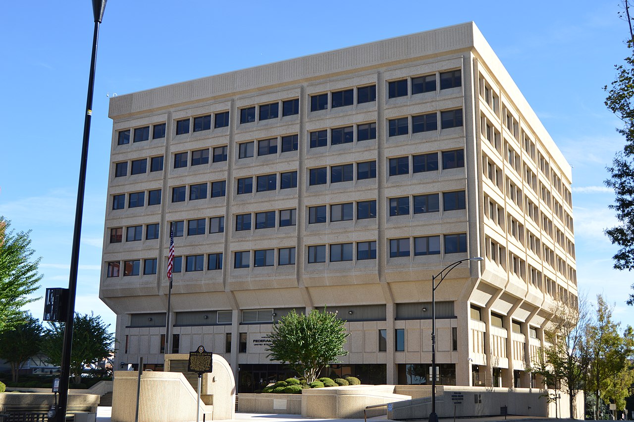
English: Northern and western sides of the
Hiram H. Ward Federal Building and U.S. Courthouse, located at 251 N. Main Street in
Winston-Salem,
North Carolina,
United States. It was built in 1976. |
||
| Date | Taken on 13 October 2018 | ||
| Source | Own work | ||
| Author | Nyttend | ||
| Permission ( Reusing this file) |
|
||
| Other versions | None |
File history
Click on a date/time to view the file as it appeared at that time.
| Date/Time | Thumbnail | Dimensions | User | Comment | |
|---|---|---|---|---|---|
| current | 01:01, 12 March 2019 |
| 6,016 × 4,000 (6.49 MB) | Nyttend |
File usage
The following pages on the English Wikipedia use this file (pages on other projects are not listed):
Metadata
Size of this preview:
800 × 532 pixels. Other resolutions:
320 × 213 pixels |
640 × 426 pixels |
1,024 × 681 pixels |
1,280 × 851 pixels |
2,560 × 1,702 pixels |
6,016 × 4,000 pixels.
Original file (6,016 × 4,000 pixels, file size: 6.49 MB, MIME type: image/jpeg)
| This is a file from the
Wikimedia Commons. Information from its
description page there is shown below. Commons is a freely licensed media file repository. You can help. |
| Camera location |
| View this and other nearby images on: OpenStreetMap |
|
|---|
| Description |
English: Northern and western sides of the
Hiram H. Ward Federal Building and U.S. Courthouse, located at 251 N. Main Street in
Winston-Salem,
North Carolina,
United States. It was built in 1976. |
||
| Date | Taken on 13 October 2018 | ||
| Source | Own work | ||
| Author | Nyttend | ||
| Permission ( Reusing this file) |
|
||
| Other versions | None |
File history
Click on a date/time to view the file as it appeared at that time.
| Date/Time | Thumbnail | Dimensions | User | Comment | |
|---|---|---|---|---|---|
| current | 01:01, 12 March 2019 |
| 6,016 × 4,000 (6.49 MB) | Nyttend |
File usage
The following pages on the English Wikipedia use this file (pages on other projects are not listed):