Photos • Location


Size of this preview:
800 × 450 pixels. Other resolutions:
320 × 180 pixels |
640 × 360 pixels |
1,024 × 576 pixels |
1,440 × 810 pixels.
Original file (1,440 × 810 pixels, file size: 356 KB, MIME type: image/jpeg)
| This is a file from the
Wikimedia Commons. Information from its
description page there is shown below. Commons is a freely licensed media file repository. You can help. |
| Description |
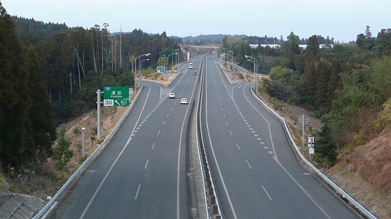
English: HigashiKyūShū Expressway (
Kiyotake Town, Miyazaki City, Japan) |
||
| Date | |||
| Source | Own work | ||
| Author | ja:User:Sanjo | ||
| Permission ( Reusing this file) |
|
| Camera location |
| View this and other nearby images on: OpenStreetMap |
|
|---|
File history
Click on a date/time to view the file as it appeared at that time.
| Date/Time | Thumbnail | Dimensions | User | Comment | |
|---|---|---|---|---|---|
| current | 12:57, 19 November 2008 |
| 1,440 × 810 (356 KB) | Sanjo | {{Information |Description={{en|HigashiKyūShū Expressway ( Kiyotake Town, Miyazaki, Japan)}}{{ja| 東九州自動車道(宮崎県 清武町、清武IC付近から北方向)}} |S |
File usage
The following pages on the English Wikipedia use this file (pages on other projects are not listed):
Global file usage
The following other wikis use this file:
- Usage on de.wikipedia.org
- Usage on ja.wikipedia.org
- Usage on www.wikidata.org
- Usage on zh.wikipedia.org
Metadata
Size of this preview:
800 × 450 pixels. Other resolutions:
320 × 180 pixels |
640 × 360 pixels |
1,024 × 576 pixels |
1,440 × 810 pixels.
Original file (1,440 × 810 pixels, file size: 356 KB, MIME type: image/jpeg)
| This is a file from the
Wikimedia Commons. Information from its
description page there is shown below. Commons is a freely licensed media file repository. You can help. |
| Description |
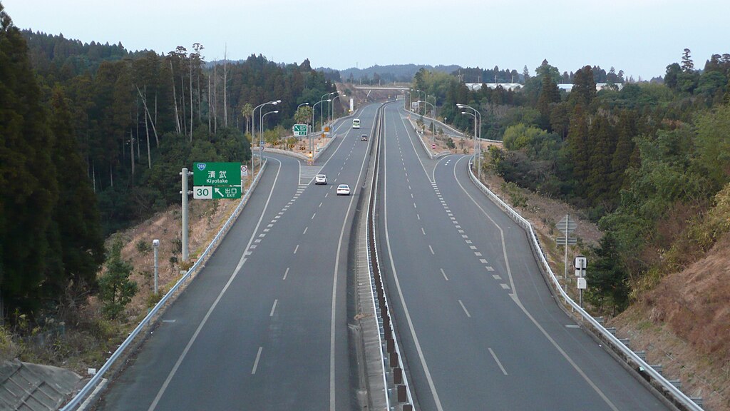
English: HigashiKyūShū Expressway (
Kiyotake Town, Miyazaki City, Japan) |
||
| Date | |||
| Source | Own work | ||
| Author | ja:User:Sanjo | ||
| Permission ( Reusing this file) |
|
| Camera location |
| View this and other nearby images on: OpenStreetMap |
|
|---|
File history
Click on a date/time to view the file as it appeared at that time.
| Date/Time | Thumbnail | Dimensions | User | Comment | |
|---|---|---|---|---|---|
| current | 12:57, 19 November 2008 |
| 1,440 × 810 (356 KB) | Sanjo | {{Information |Description={{en|HigashiKyūShū Expressway ( Kiyotake Town, Miyazaki, Japan)}}{{ja| 東九州自動車道(宮崎県 清武町、清武IC付近から北方向)}} |S |
File usage
The following pages on the English Wikipedia use this file (pages on other projects are not listed):
Global file usage
The following other wikis use this file:
- Usage on de.wikipedia.org
- Usage on ja.wikipedia.org
- Usage on www.wikidata.org
- Usage on zh.wikipedia.org