Photos • Location


Size of this preview:
693 × 599 pixels. Other resolutions:
278 × 240 pixels |
555 × 480 pixels |
888 × 768 pixels |
1,184 × 1,024 pixels |
2,368 × 2,048 pixels |
2,664 × 2,304 pixels.
Original file (2,664 × 2,304 pixels, file size: 962 KB, MIME type: image/jpeg)
| This is a file from the
Wikimedia Commons. Information from its
description page there is shown below. Commons is a freely licensed media file repository. You can help. |
Summary
| Description |
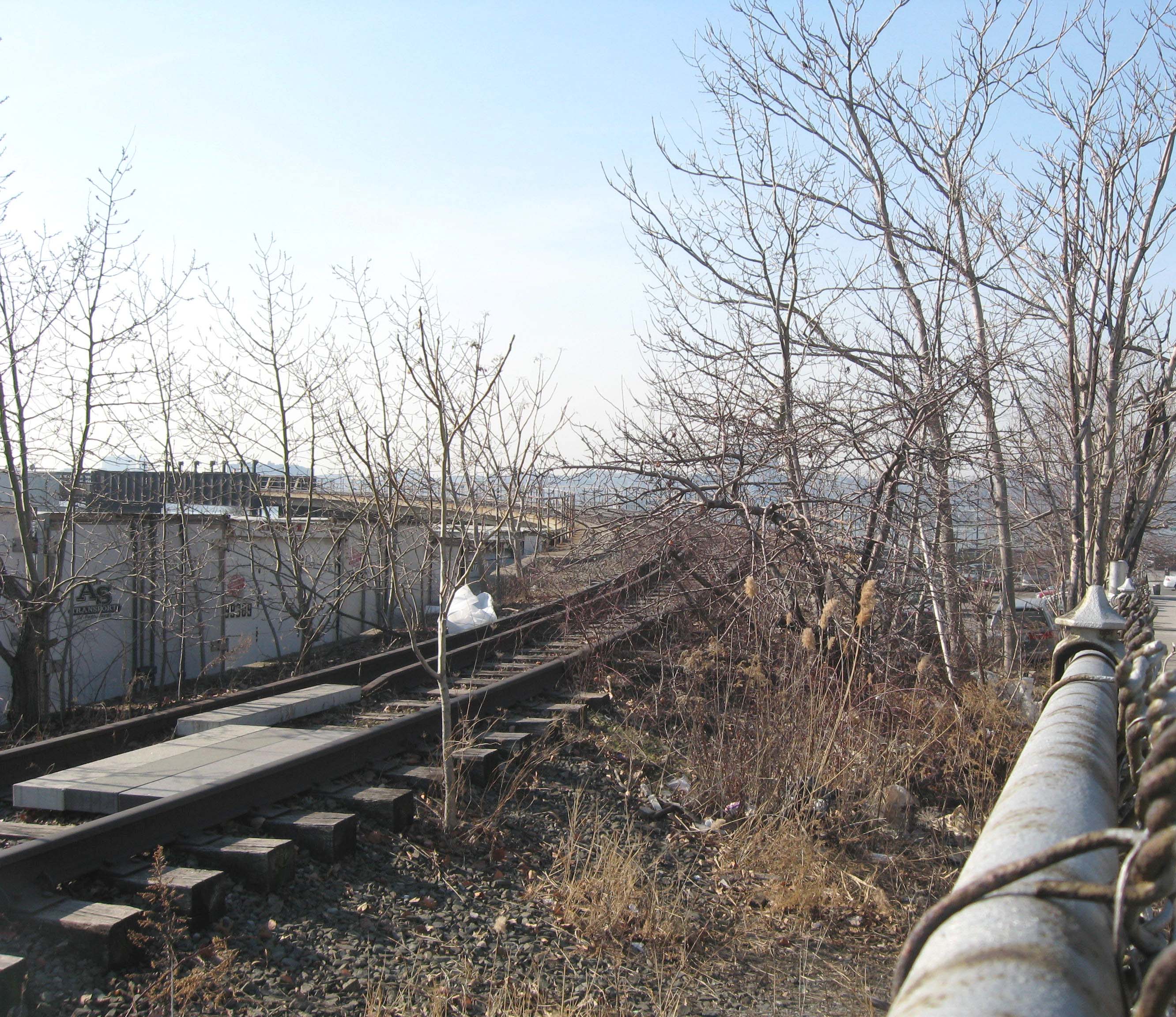
English: Looking west as
the High Line climbs along the south side of 34th Street and curves south on a sunny early afternoon. |
| Date | Taken on 11 February 2009 |
| Source | Own work |
| Author | Jim.henderson |
| Camera location | | View this and other nearby images on: OpenStreetMap |
|
|---|
Licensing
| I, the copyright holder of this work, release this work into the
public domain. This applies worldwide. In some countries this may not be legally possible; if so: I grant anyone the right to use this work for any purpose, without any conditions, unless such conditions are required by law. |
File history
Click on a date/time to view the file as it appeared at that time.
| Date/Time | Thumbnail | Dimensions | User | Comment | |
|---|---|---|---|---|---|
| current | 02:03, 16 February 2009 |
| 2,664 × 2,304 (962 KB) | Jim.henderson | {{Information |Description={{en|1=Looking west as the High Line climbs along the south side of 34th Street and curves south on a sunny early afternoon.}} |Source=Own work by uploader |Author= Jim.henderson |Date=Feb 2009 |Permission= |
File usage
The following pages on the English Wikipedia use this file (pages on other projects are not listed):
Global file usage
The following other wikis use this file:
- Usage on el.wikipedia.org
- Usage on ja.wikipedia.org
- Usage on pl.wikipedia.org
- Usage on tr.wikipedia.org
Metadata
Size of this preview:
693 × 599 pixels. Other resolutions:
278 × 240 pixels |
555 × 480 pixels |
888 × 768 pixels |
1,184 × 1,024 pixels |
2,368 × 2,048 pixels |
2,664 × 2,304 pixels.
Original file (2,664 × 2,304 pixels, file size: 962 KB, MIME type: image/jpeg)
| This is a file from the
Wikimedia Commons. Information from its
description page there is shown below. Commons is a freely licensed media file repository. You can help. |
Summary
| Description |
English: Looking west as
the High Line climbs along the south side of 34th Street and curves south on a sunny early afternoon. |
| Date | Taken on 11 February 2009 |
| Source | Own work |
| Author | Jim.henderson |
| Camera location | | View this and other nearby images on: OpenStreetMap |
|
|---|
Licensing
| I, the copyright holder of this work, release this work into the
public domain. This applies worldwide. In some countries this may not be legally possible; if so: I grant anyone the right to use this work for any purpose, without any conditions, unless such conditions are required by law. |
File history
Click on a date/time to view the file as it appeared at that time.
| Date/Time | Thumbnail | Dimensions | User | Comment | |
|---|---|---|---|---|---|
| current | 02:03, 16 February 2009 |
| 2,664 × 2,304 (962 KB) | Jim.henderson | {{Information |Description={{en|1=Looking west as the High Line climbs along the south side of 34th Street and curves south on a sunny early afternoon.}} |Source=Own work by uploader |Author= Jim.henderson |Date=Feb 2009 |Permission= |
File usage
The following pages on the English Wikipedia use this file (pages on other projects are not listed):
Global file usage
The following other wikis use this file:
- Usage on el.wikipedia.org
- Usage on ja.wikipedia.org
- Usage on pl.wikipedia.org
- Usage on tr.wikipedia.org