Photos • Location


Size of this preview:
800 × 534 pixels. Other resolutions:
320 × 214 pixels |
640 × 427 pixels |
1,024 × 683 pixels |
1,280 × 854 pixels |
2,693 × 1,797 pixels.
Original file (2,693 × 1,797 pixels, file size: 1.52 MB, MIME type: image/jpeg)
| This is a file from the
Wikimedia Commons. Information from its
description page there is shown below. Commons is a freely licensed media file repository. You can help. |
Summary
| Description | |||
| Date | |||
| Source | Own work | ||
| Author | Brian Dell | ||
| Permission ( Reusing this file) |
|
| Camera location | | View this and other nearby images on: OpenStreetMap |
|
|---|
File history
Click on a date/time to view the file as it appeared at that time.
| Date/Time | Thumbnail | Dimensions | User | Comment | |
|---|---|---|---|---|---|
| current | 22:32, 10 August 2010 |
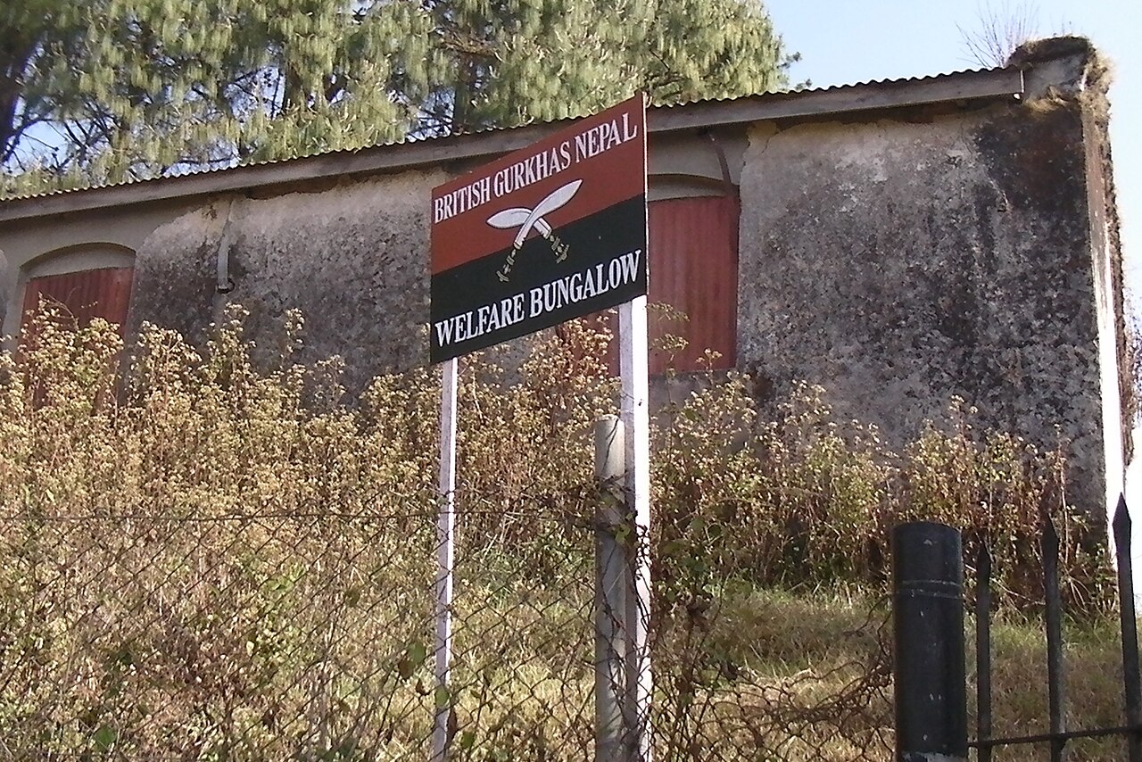
| 2,693 × 1,797 (1.52 MB) | Bdell555 | {{Information |Description={{en|1=a building in Kakani, Nepal. See this British Army [http://www.army.mod.uk/documents/general/BGN_Arrival_Info2_Feb10.pdf PDF document].}} |Source={{own}} |Author=Brian Dell Bdell555 |Date=2 |
File usage
The following pages on the English Wikipedia use this file (pages on other projects are not listed):
Metadata
Size of this preview:
800 × 534 pixels. Other resolutions:
320 × 214 pixels |
640 × 427 pixels |
1,024 × 683 pixels |
1,280 × 854 pixels |
2,693 × 1,797 pixels.
Original file (2,693 × 1,797 pixels, file size: 1.52 MB, MIME type: image/jpeg)
| This is a file from the
Wikimedia Commons. Information from its
description page there is shown below. Commons is a freely licensed media file repository. You can help. |
Summary
| Description | |||
| Date | |||
| Source | Own work | ||
| Author | Brian Dell | ||
| Permission ( Reusing this file) |
|
| Camera location | | View this and other nearby images on: OpenStreetMap |
|
|---|
File history
Click on a date/time to view the file as it appeared at that time.
| Date/Time | Thumbnail | Dimensions | User | Comment | |
|---|---|---|---|---|---|
| current | 22:32, 10 August 2010 |
| 2,693 × 1,797 (1.52 MB) | Bdell555 | {{Information |Description={{en|1=a building in Kakani, Nepal. See this British Army [http://www.army.mod.uk/documents/general/BGN_Arrival_Info2_Feb10.pdf PDF document].}} |Source={{own}} |Author=Brian Dell Bdell555 |Date=2 |
File usage
The following pages on the English Wikipedia use this file (pages on other projects are not listed):