Photos • Location


Size of this preview:
771 × 600 pixels. Other resolutions:
309 × 240 pixels |
617 × 480 pixels |
988 × 768 pixels |
1,280 × 995 pixels |
2,434 × 1,893 pixels.
Original file (2,434 × 1,893 pixels, file size: 2.74 MB, MIME type: image/jpeg)
| This is a file from the
Wikimedia Commons. Information from its
description page there is shown below. Commons is a freely licensed media file repository. You can help. |
Summary
| Description |
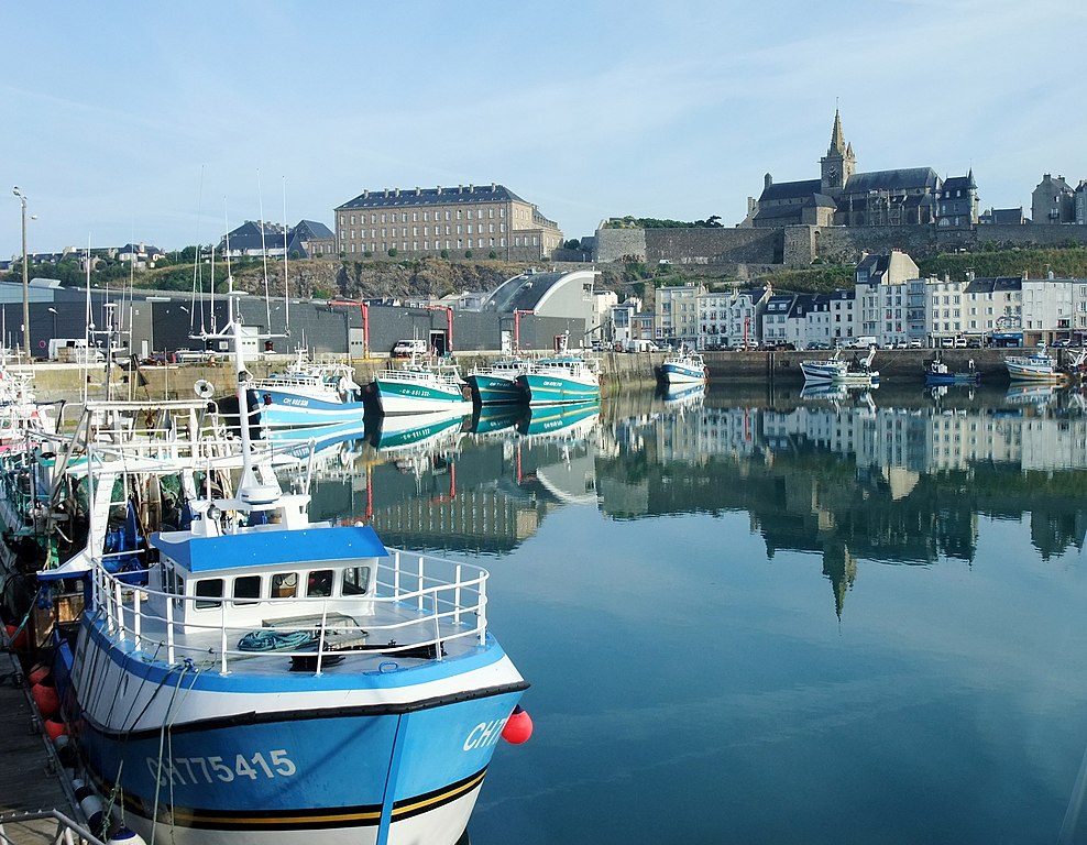
Français : Port et église Notre-Dame-du-Cap-Lihou de Granville, France
Deutsch: Hafen und Kirche Notre-Dame-du-Cap-Lihou von Granville, Frankreich
English: Port and church Notre-Dame-du-Cap-Lihou of Granville, France |
| Date | |
| Source | Own work |
| Author | Nikater |
| Permission ( Reusing this file) |
Own work, all rights released (Public domain) |
| Camera location |
| View this and other nearby images on: OpenStreetMap |
|
|---|
Licensing
| I, the copyright holder of this work, release this work into the
public domain. This applies worldwide. In some countries this may not be legally possible; if so: I grant anyone the right to use this work for any purpose, without any conditions, unless such conditions are required by law. |
File history
Click on a date/time to view the file as it appeared at that time.
| Date/Time | Thumbnail | Dimensions | User | Comment | |
|---|---|---|---|---|---|
| current | 12:59, 14 November 2014 |
| 2,434 × 1,893 (2.74 MB) | Nikater | {{Information |Description={{fr|Port et église Notre-Dame-du-Cap-Lihou de Granville, France}} {{de|Hafen und Kirche Notre-Dame-du-Cap-Lihou von Granville, Frankreich}} {{en|Port and church Notre-Dame-du-Cap-Lihou of Granville, France}} |Source... |
File usage
The following pages on the English Wikipedia use this file (pages on other projects are not listed):
Metadata
Size of this preview:
771 × 600 pixels. Other resolutions:
309 × 240 pixels |
617 × 480 pixels |
988 × 768 pixels |
1,280 × 995 pixels |
2,434 × 1,893 pixels.
Original file (2,434 × 1,893 pixels, file size: 2.74 MB, MIME type: image/jpeg)
| This is a file from the
Wikimedia Commons. Information from its
description page there is shown below. Commons is a freely licensed media file repository. You can help. |
Summary
| Description |
Français : Port et église Notre-Dame-du-Cap-Lihou de Granville, France
Deutsch: Hafen und Kirche Notre-Dame-du-Cap-Lihou von Granville, Frankreich
English: Port and church Notre-Dame-du-Cap-Lihou of Granville, France |
| Date | |
| Source | Own work |
| Author | Nikater |
| Permission ( Reusing this file) |
Own work, all rights released (Public domain) |
| Camera location |
| View this and other nearby images on: OpenStreetMap |
|
|---|
Licensing
| I, the copyright holder of this work, release this work into the
public domain. This applies worldwide. In some countries this may not be legally possible; if so: I grant anyone the right to use this work for any purpose, without any conditions, unless such conditions are required by law. |
File history
Click on a date/time to view the file as it appeared at that time.
| Date/Time | Thumbnail | Dimensions | User | Comment | |
|---|---|---|---|---|---|
| current | 12:59, 14 November 2014 |
| 2,434 × 1,893 (2.74 MB) | Nikater | {{Information |Description={{fr|Port et église Notre-Dame-du-Cap-Lihou de Granville, France}} {{de|Hafen und Kirche Notre-Dame-du-Cap-Lihou von Granville, Frankreich}} {{en|Port and church Notre-Dame-du-Cap-Lihou of Granville, France}} |Source... |
File usage
The following pages on the English Wikipedia use this file (pages on other projects are not listed):