Photos • Location


Size of this preview:
711 × 599 pixels. Other resolutions:
285 × 240 pixels |
569 × 480 pixels |
911 × 768 pixels |
1,215 × 1,024 pixels |
2,429 × 2,048 pixels |
3,378 × 2,848 pixels.
Original file (3,378 × 2,848 pixels, file size: 3.73 MB, MIME type: image/jpeg)
| This is a file from the
Wikimedia Commons. Information from its
description page there is shown below. Commons is a freely licensed media file repository. You can help. |
Summary
| Description |
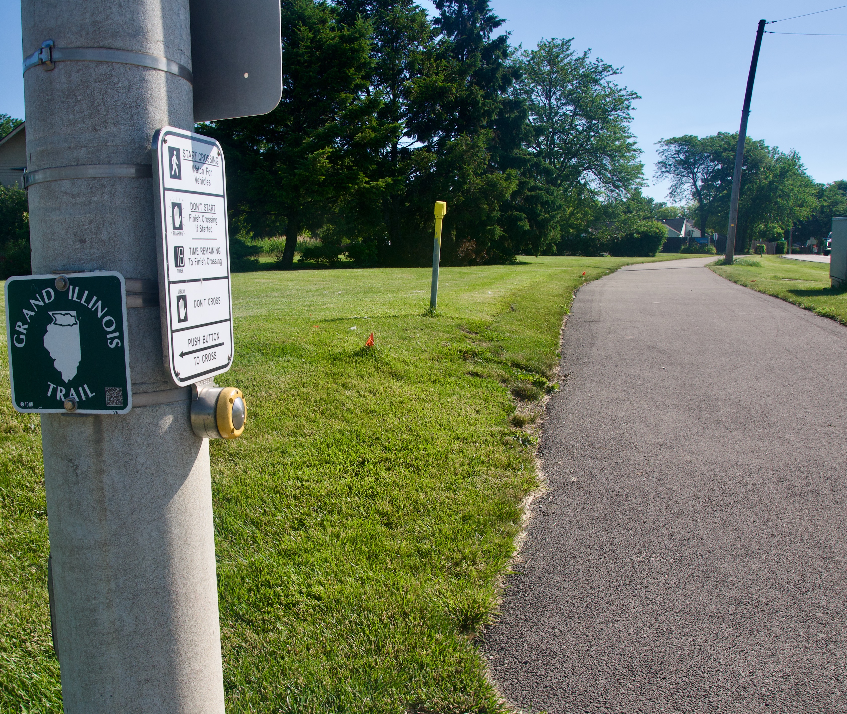
English: A photograph section of the Grand Illinois Trail on the Millenium trail in Mundelein, Illinois |
| Date | |
| Source | Own work |
| Author | SeymourHolcomb |
| Camera location |
| View this and other nearby images on: OpenStreetMap |
|
|---|
The cropping on the photo is not amazing because I did not want the church in frame. You can barely see it with the cropped photo
Licensing
I, the copyright holder of this work, hereby publish it under the following license:
| This file is made available under the Creative Commons CC0 1.0 Universal Public Domain Dedication. | |
| The person who associated a work with this deed has dedicated the work to the
public domain by waiving all of their rights to the work worldwide under copyright law, including all related and neighboring rights, to the extent allowed by law. You can copy, modify, distribute and perform the work, even for commercial purposes, all without asking permission.
|
File history
Click on a date/time to view the file as it appeared at that time.
| Date/Time | Thumbnail | Dimensions | User | Comment | |
|---|---|---|---|---|---|
| current | 21:44, 13 June 2024 |
| 3,378 × 2,848 (3.73 MB) | SeymourHolcomb | Uploaded own work with UploadWizard |
File usage
The following pages on the English Wikipedia use this file (pages on other projects are not listed):
Metadata
Size of this preview:
711 × 599 pixels. Other resolutions:
285 × 240 pixels |
569 × 480 pixels |
911 × 768 pixels |
1,215 × 1,024 pixels |
2,429 × 2,048 pixels |
3,378 × 2,848 pixels.
Original file (3,378 × 2,848 pixels, file size: 3.73 MB, MIME type: image/jpeg)
| This is a file from the
Wikimedia Commons. Information from its
description page there is shown below. Commons is a freely licensed media file repository. You can help. |
Summary
| Description |
English: A photograph section of the Grand Illinois Trail on the Millenium trail in Mundelein, Illinois |
| Date | |
| Source | Own work |
| Author | SeymourHolcomb |
| Camera location |
| View this and other nearby images on: OpenStreetMap |
|
|---|
The cropping on the photo is not amazing because I did not want the church in frame. You can barely see it with the cropped photo
Licensing
I, the copyright holder of this work, hereby publish it under the following license:
| This file is made available under the Creative Commons CC0 1.0 Universal Public Domain Dedication. | |
| The person who associated a work with this deed has dedicated the work to the
public domain by waiving all of their rights to the work worldwide under copyright law, including all related and neighboring rights, to the extent allowed by law. You can copy, modify, distribute and perform the work, even for commercial purposes, all without asking permission.
|
File history
Click on a date/time to view the file as it appeared at that time.
| Date/Time | Thumbnail | Dimensions | User | Comment | |
|---|---|---|---|---|---|
| current | 21:44, 13 June 2024 |
| 3,378 × 2,848 (3.73 MB) | SeymourHolcomb | Uploaded own work with UploadWizard |
File usage
The following pages on the English Wikipedia use this file (pages on other projects are not listed):