Photos • Location


Size of this preview:
631 × 599 pixels. Other resolutions:
253 × 240 pixels |
505 × 480 pixels |
808 × 768 pixels |
1,078 × 1,024 pixels |
1,600 × 1,520 pixels.
Original file (1,600 × 1,520 pixels, file size: 513 KB, MIME type: image/jpeg)
| This is a file from the
Wikimedia Commons. Information from its
description page there is shown below. Commons is a freely licensed media file repository. You can help. |
Summary
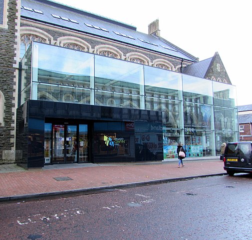
| Description | Glass frontage, Gwyn Hall, Orchard Street, Neath | ||
| Date | |||
| Source | From geograph.org.uk | ||
| Author | Jaggery | ||
| Permission ( Reusing this file) |
This file is licensed under the
Creative Commons
Attribution-Share Alike 2.0 Generic license. Attribution: Jaggery
|
||
| Attribution ( required by the license) | Jaggery / Glass frontage, Gwyn Hall, Orchard Street, Neath / | ||

.jpg)
| Camera location | | View this and other nearby images on: OpenStreetMap |
|
|---|
.jpg¶ms=051.662684_N_-003.803617_E_globe:Earth_type:camera_source:geograph-osgb36(SS75359753)_heading:292.00&language=en)
| Object location | | View this and other nearby images on: OpenStreetMap |
|
|---|
.jpg¶ms=051.662770_N_-003.803910_E_globe:Earth_class:object_type:object_source:geograph-osgb36(SS75339754)_heading:292.00&language=en)
File history
Click on a date/time to view the file as it appeared at that time.
| Date/Time | Thumbnail | Dimensions | User | Comment | |
|---|---|---|---|---|---|
| current | 18:25, 4 July 2021 |
| 1,600 × 1,520 (513 KB) | Geograph Update Bot | Higher-resolution version from Geograph. |
| 19:10, 14 March 2021 |
 | 1,024 × 973 (240 KB) | Dormskirk | {{Information |Description=Glass frontage, Gwyn Hall, Orchard Street, Neath |Source=From [https://www.geograph.org.uk/photo/6371989 geograph.org.uk] |Date=2020-01-15 |Author=[https://www.geograph.org.uk/profile/39302 Jaggery] |Permission={{geograph|6371989|Jaggery}} |other_versions= }} {{Location|51.662684|-3.803617|source:geograph-osgb36(SS75359753)_heading:292|prec=10}} {{Object location|51.66277|-3.80391|source:geograph-osgb36(SS75339754)_heading:292|prec=10}} Category:Neath |
File usage
The following pages on the English Wikipedia use this file (pages on other projects are not listed):
Global file usage
The following other wikis use this file:
- Usage on www.wikidata.org
.jpg)
Size of this preview:
631 × 599 pixels. Other resolutions:
253 × 240 pixels |
505 × 480 pixels |
808 × 768 pixels |
1,078 × 1,024 pixels |
1,600 × 1,520 pixels.
Original file (1,600 × 1,520 pixels, file size: 513 KB, MIME type: image/jpeg)
| This is a file from the
Wikimedia Commons. Information from its
description page there is shown below. Commons is a freely licensed media file repository. You can help. |
Summary
| Description | Glass frontage, Gwyn Hall, Orchard Street, Neath | ||
| Date | |||
| Source | From geograph.org.uk | ||
| Author | Jaggery | ||
| Permission ( Reusing this file) |
This file is licensed under the
Creative Commons
Attribution-Share Alike 2.0 Generic license. Attribution: Jaggery
|
||
| Attribution ( required by the license) | Jaggery / Glass frontage, Gwyn Hall, Orchard Street, Neath / | ||
| Camera location | | View this and other nearby images on: OpenStreetMap |
|
|---|
| Object location | | View this and other nearby images on: OpenStreetMap |
|
|---|
File history
Click on a date/time to view the file as it appeared at that time.
| Date/Time | Thumbnail | Dimensions | User | Comment | |
|---|---|---|---|---|---|
| current | 18:25, 4 July 2021 |
| 1,600 × 1,520 (513 KB) | Geograph Update Bot | Higher-resolution version from Geograph. |
| 19:10, 14 March 2021 |
| 1,024 × 973 (240 KB) | Dormskirk | {{Information |Description=Glass frontage, Gwyn Hall, Orchard Street, Neath |Source=From [https://www.geograph.org.uk/photo/6371989 geograph.org.uk] |Date=2020-01-15 |Author=[https://www.geograph.org.uk/profile/39302 Jaggery] |Permission={{geograph|6371989|Jaggery}} |other_versions= }} {{Location|51.662684|-3.803617|source:geograph-osgb36(SS75359753)_heading:292|prec=10}} {{Object location|51.66277|-3.80391|source:geograph-osgb36(SS75339754)_heading:292|prec=10}} Category:Neath |
File usage
The following pages on the English Wikipedia use this file (pages on other projects are not listed):
Global file usage
The following other wikis use this file:
- Usage on www.wikidata.org