
Original file (SVG file, nominally 1,041 × 997 pixels, file size: 643 KB)
| This is a file from the
Wikimedia Commons. Information from its
description page there is shown below. Commons is a freely licensed media file repository. You can help. |
Summary
| Description |
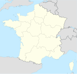
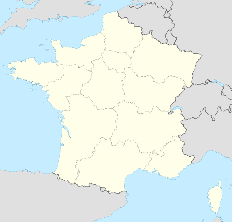
Deutsch: Positionskarte von
Frankreich
Quadratische Plattkarte, N-S-Streckung 140 %. Geographische Begrenzung der Karte:
English: Location map of
France
Equirectangular projection, N/S stretching 140 %. Geographic limits of the map:
Français : carte des régions Françaises |
||
| Date | 02-07-2008 | ||
| Source | Own work (Original text: own work, using United States National Imagery and Mapping Agency data) | ||
| Author | NordNordWest | ||
| Other versions |
Derivative works of this file: |
||
| SVG development | This
map was created with
Adobe Illustrator.
|

Licensing

|
Permission is granted to copy, distribute and/or modify this document under the terms of the GNU Free Documentation License, Version 1.2 or any later version published by the Free Software Foundation; with no Invariant Sections, no Front-Cover Texts, and no Back-Cover Texts. A copy of the license is included in the section entitled GNU Free Documentation License. |
- You are free:
- to share – to copy, distribute and transmit the work
- to remix – to adapt the work
- Under the following conditions:
- attribution – You must give appropriate credit, provide a link to the license, and indicate if changes were made. You may do so in any reasonable manner, but not in any way that suggests the licensor endorses you or your use.
- share alike – If you remix, transform, or build upon the material, you must distribute your contributions under the same or compatible license as the original.
File history
Click on a date/time to view the file as it appeared at that time.
| Date/Time | Thumbnail | Dimensions | User | Comment | |
|---|---|---|---|---|---|
| current | 09:43, 2 January 2016 |
| 1,041 × 997 (643 KB) | Superbenjamin | New borders |
| 12:33, 2 October 2012 |
 | 1,041 × 997 (920 KB) | Palosirkka | Reverted to version as of 14:18, 7 July 2008 Location maps must remain very accurate | |
| 05:33, 2 October 2012 |
 | 1,041 × 997 (566 KB) | Palosirkka | Scrubbed with http://codedread.com/scour/ | |
| 14:18, 7 July 2008 |
 | 1,041 × 997 (920 KB) | NordNordWest | ||
| 18:05, 5 July 2008 |
 | 1,041 × 997 (920 KB) | NordNordWest | corrected | |
| 19:14, 2 July 2008 |
 | 1,041 × 997 (1.17 MB) | NordNordWest | ||
| 19:09, 2 July 2008 |
 | 1,041 × 997 (1.17 MB) | NordNordWest | {{Information |Description= {{de|Positionskarte von Frankreich}} Quadratische Plattkarte, N-S-Streckung 140 %. Geographische Begrenzung der Karte: * N: 51.6° N * S: 41.0° N * W: 5.3° W * O: 10.2° O {{en|Location map of [[:en:France| |
File usage
- Audencia Business School
- Bibliography of France
- INSA Centre Val de Loire
- INSA Hauts-de-France
- Institut national des sciences appliquées de Toulouse
- Paris Gun
- Proteus Airlines Flight 706
- Toulouse School of Management
- École des mines d'Albi-Carmaux
- User:Joebloggsy/mysandbox
- Wikipedia:WikiProject Maps/Conventions/Location maps
- Wikipedia:WikiProject Maps/Conventions/Location maps (series N)
Global file usage
The following other wikis use this file:
- Usage on av.wikipedia.org
- Usage on ba.wikipedia.org
- Usage on bn.wikipedia.org
- Usage on ceb.wikipedia.org
- Beaulieu
- Beaumont
- Saint-Léger
- Entraigues-sur-la-Sorgue
- Villenave-d'Ornon
- Osse-en-Aspe
- Les Eyzies-de-Tayac-Sireuil
- Quincerot, Côte-d'Or
- Courcelles
- Loguivy-Plougras
- Saint-Erblon, Ille-et-Vilaine
- Locmalo
- Chémery-sur-Bar
- Bourgogne (pagklaro)
- Ferrières
- Beaufort
- Montricher-Albanne
- Bonne
- Montendre
- Cauterets
- Castelmaurou
- Naives-Rosières
- Merlines
- Guémené-Penfao
- Gesté
- Belleau
- Lavalette
- La Chapelle
- Barby
- Gourdon
- Rouvroy
- Remicourt
- Rochefort
- Sainte-Foy, Saône-et-Loire
- Bray
- Villefranche
- Roche
- La Barre
View more global usage of this file.
Metadata
Original file (SVG file, nominally 1,041 × 997 pixels, file size: 643 KB)
| This is a file from the
Wikimedia Commons. Information from its
description page there is shown below. Commons is a freely licensed media file repository. You can help. |
Summary
| Description |
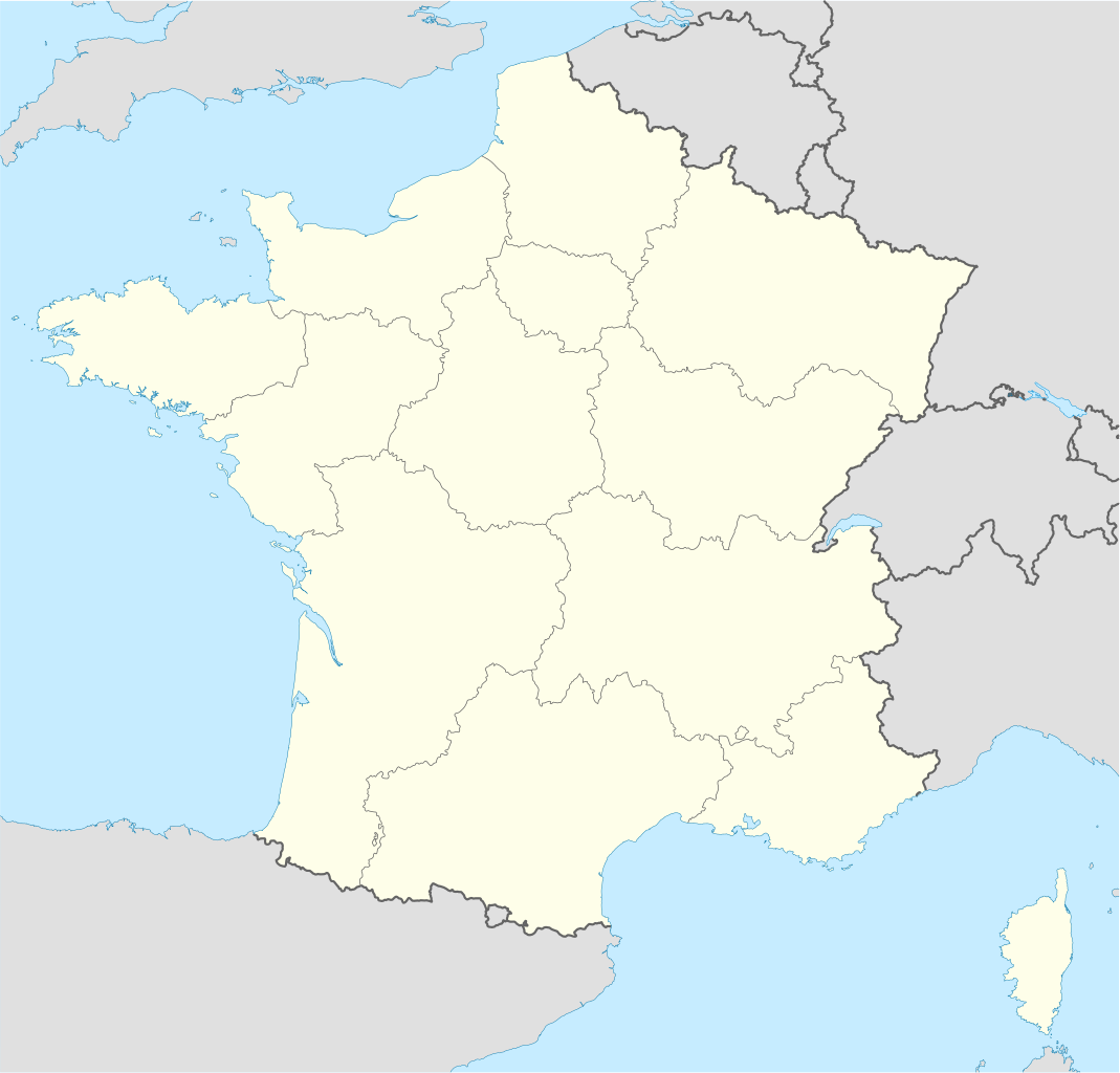
Deutsch: Positionskarte von
Frankreich
Quadratische Plattkarte, N-S-Streckung 140 %. Geographische Begrenzung der Karte:
English: Location map of
France
Equirectangular projection, N/S stretching 140 %. Geographic limits of the map:
Français : carte des régions Françaises |
||
| Date | 02-07-2008 | ||
| Source | Own work (Original text: own work, using United States National Imagery and Mapping Agency data) | ||
| Author | NordNordWest | ||
| Other versions |
Derivative works of this file: |
||
| SVG development | This
map was created with
Adobe Illustrator.
|
Licensing
|
|
Permission is granted to copy, distribute and/or modify this document under the terms of the GNU Free Documentation License, Version 1.2 or any later version published by the Free Software Foundation; with no Invariant Sections, no Front-Cover Texts, and no Back-Cover Texts. A copy of the license is included in the section entitled GNU Free Documentation License. |
- You are free:
- to share – to copy, distribute and transmit the work
- to remix – to adapt the work
- Under the following conditions:
- attribution – You must give appropriate credit, provide a link to the license, and indicate if changes were made. You may do so in any reasonable manner, but not in any way that suggests the licensor endorses you or your use.
- share alike – If you remix, transform, or build upon the material, you must distribute your contributions under the same or compatible license as the original.
File history
Click on a date/time to view the file as it appeared at that time.
| Date/Time | Thumbnail | Dimensions | User | Comment | |
|---|---|---|---|---|---|
| current | 09:43, 2 January 2016 |
| 1,041 × 997 (643 KB) | Superbenjamin | New borders |
| 12:33, 2 October 2012 |
| 1,041 × 997 (920 KB) | Palosirkka | Reverted to version as of 14:18, 7 July 2008 Location maps must remain very accurate | |
| 05:33, 2 October 2012 |
| 1,041 × 997 (566 KB) | Palosirkka | Scrubbed with http://codedread.com/scour/ | |
| 14:18, 7 July 2008 |
| 1,041 × 997 (920 KB) | NordNordWest | ||
| 18:05, 5 July 2008 |
| 1,041 × 997 (920 KB) | NordNordWest | corrected | |
| 19:14, 2 July 2008 |
| 1,041 × 997 (1.17 MB) | NordNordWest | ||
| 19:09, 2 July 2008 |
| 1,041 × 997 (1.17 MB) | NordNordWest | {{Information |Description= {{de|Positionskarte von Frankreich}} Quadratische Plattkarte, N-S-Streckung 140 %. Geographische Begrenzung der Karte: * N: 51.6° N * S: 41.0° N * W: 5.3° W * O: 10.2° O {{en|Location map of [[:en:France| |
File usage
- Audencia Business School
- Bibliography of France
- INSA Centre Val de Loire
- INSA Hauts-de-France
- Institut national des sciences appliquées de Toulouse
- Paris Gun
- Proteus Airlines Flight 706
- Toulouse School of Management
- École des mines d'Albi-Carmaux
- User:Joebloggsy/mysandbox
- Wikipedia:WikiProject Maps/Conventions/Location maps
- Wikipedia:WikiProject Maps/Conventions/Location maps (series N)
Global file usage
The following other wikis use this file:
- Usage on av.wikipedia.org
- Usage on ba.wikipedia.org
- Usage on bn.wikipedia.org
- Usage on ceb.wikipedia.org
- Beaulieu
- Beaumont
- Saint-Léger
- Entraigues-sur-la-Sorgue
- Villenave-d'Ornon
- Osse-en-Aspe
- Les Eyzies-de-Tayac-Sireuil
- Quincerot, Côte-d'Or
- Courcelles
- Loguivy-Plougras
- Saint-Erblon, Ille-et-Vilaine
- Locmalo
- Chémery-sur-Bar
- Bourgogne (pagklaro)
- Ferrières
- Beaufort
- Montricher-Albanne
- Bonne
- Montendre
- Cauterets
- Castelmaurou
- Naives-Rosières
- Merlines
- Guémené-Penfao
- Gesté
- Belleau
- Lavalette
- La Chapelle
- Barby
- Gourdon
- Rouvroy
- Remicourt
- Rochefort
- Sainte-Foy, Saône-et-Loire
- Bray
- Villefranche
- Roche
- La Barre
View more global usage of this file.