Photos • Location


Size of this preview:
394 × 599 pixels. Other resolutions:
158 × 240 pixels |
316 × 480 pixels |
505 × 768 pixels |
673 × 1,024 pixels |
1,368 × 2,080 pixels.
Original file (1,368 × 2,080 pixels, file size: 384 KB, MIME type: image/jpeg)
| This is a file from the
Wikimedia Commons. Information from its
description page there is shown below. Commons is a freely licensed media file repository. You can help. |
Summary
| Description |
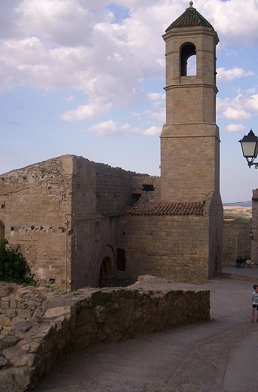
Campanar de l'església de Forès
|
||
| Date | |||
| Source | pròpia | ||
| Author | from Catalonia |
| Object location |
| View this and other nearby images on: OpenStreetMap |
|
|---|
Licensing
| This work has been released into the
public domain by its author, I,
JoanCa. This applies worldwide. In some countries this may not be legally possible; if so: I, JoanCa grants anyone the right to use this work for any purpose, without any conditions, unless such conditions are required by law. |
File history
Click on a date/time to view the file as it appeared at that time.
| Date/Time | Thumbnail | Dimensions | User | Comment | |
|---|---|---|---|---|---|
| current | 07:06, 30 July 2007 |
| 1,368 × 2,080 (384 KB) | JoanCa | {{Information |Description= Campanar de l'església de Forès |Source= pròpia |Date= 25-07-2007 |Author= from Catalonia |Permission= see below |other_versions= }} Category: Conca de Barberà |
File usage
The following pages on the English Wikipedia use this file (pages on other projects are not listed):
Global file usage
The following other wikis use this file:
- Usage on an.wikipedia.org
- Usage on ca.wikipedia.org
- Usage on es.wikipedia.org
- Usage on fa.wikipedia.org
- Usage on la.wikipedia.org
- Usage on pl.wikipedia.org
- Usage on sq.wikipedia.org
- Usage on www.wikidata.org
Metadata
Size of this preview:
394 × 599 pixels. Other resolutions:
158 × 240 pixels |
316 × 480 pixels |
505 × 768 pixels |
673 × 1,024 pixels |
1,368 × 2,080 pixels.
Original file (1,368 × 2,080 pixels, file size: 384 KB, MIME type: image/jpeg)
| This is a file from the
Wikimedia Commons. Information from its
description page there is shown below. Commons is a freely licensed media file repository. You can help. |
Summary
| Description |
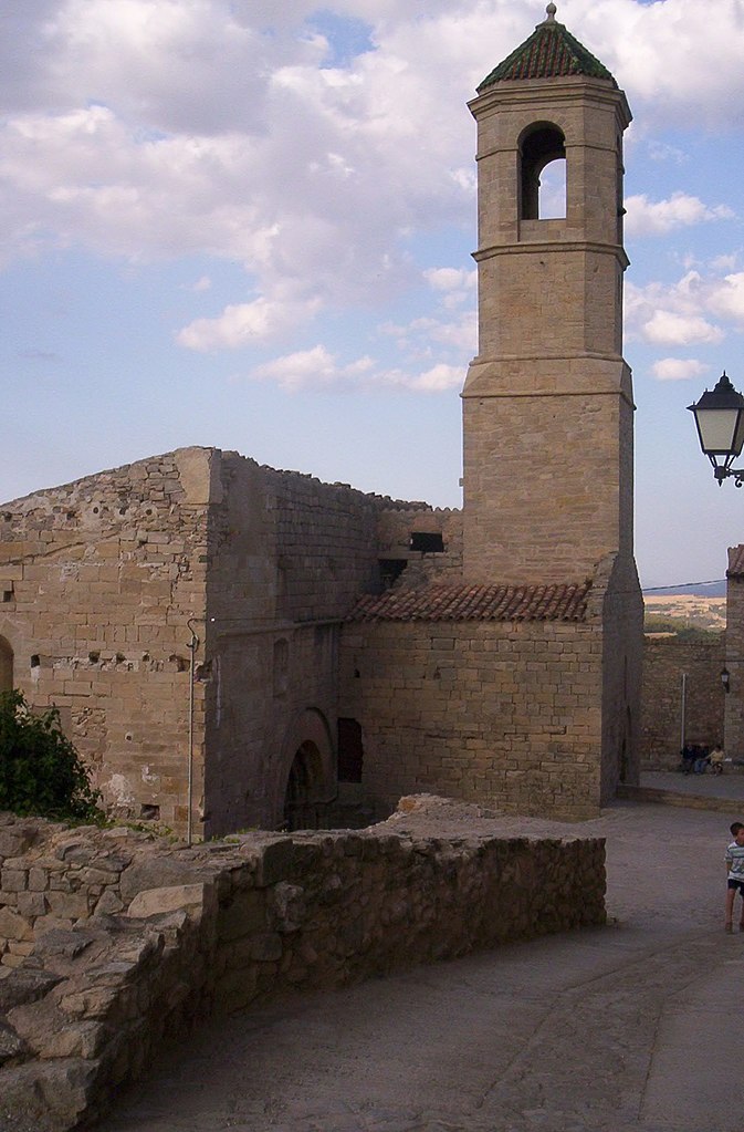
Campanar de l'església de Forès
|
||
| Date | |||
| Source | pròpia | ||
| Author | from Catalonia |
| Object location |
| View this and other nearby images on: OpenStreetMap |
|
|---|
Licensing
| This work has been released into the
public domain by its author, I,
JoanCa. This applies worldwide. In some countries this may not be legally possible; if so: I, JoanCa grants anyone the right to use this work for any purpose, without any conditions, unless such conditions are required by law. |
File history
Click on a date/time to view the file as it appeared at that time.
| Date/Time | Thumbnail | Dimensions | User | Comment | |
|---|---|---|---|---|---|
| current | 07:06, 30 July 2007 |
| 1,368 × 2,080 (384 KB) | JoanCa | {{Information |Description= Campanar de l'església de Forès |Source= pròpia |Date= 25-07-2007 |Author= from Catalonia |Permission= see below |other_versions= }} Category: Conca de Barberà |
File usage
The following pages on the English Wikipedia use this file (pages on other projects are not listed):
Global file usage
The following other wikis use this file:
- Usage on an.wikipedia.org
- Usage on ca.wikipedia.org
- Usage on es.wikipedia.org
- Usage on fa.wikipedia.org
- Usage on la.wikipedia.org
- Usage on pl.wikipedia.org
- Usage on sq.wikipedia.org
- Usage on www.wikidata.org