Photos • Location


Size of this preview:
590 × 600 pixels. Other resolutions:
236 × 240 pixels |
472 × 480 pixels |
755 × 768 pixels |
1,007 × 1,024 pixels |
2,014 × 2,048 pixels |
2,610 × 2,654 pixels.
Original file (2,610 × 2,654 pixels, file size: 920 KB, MIME type: image/jpeg)
| This is a file from the
Wikimedia Commons. Information from its
description page there is shown below. Commons is a freely licensed media file repository. You can help. |
Summary
| Description |
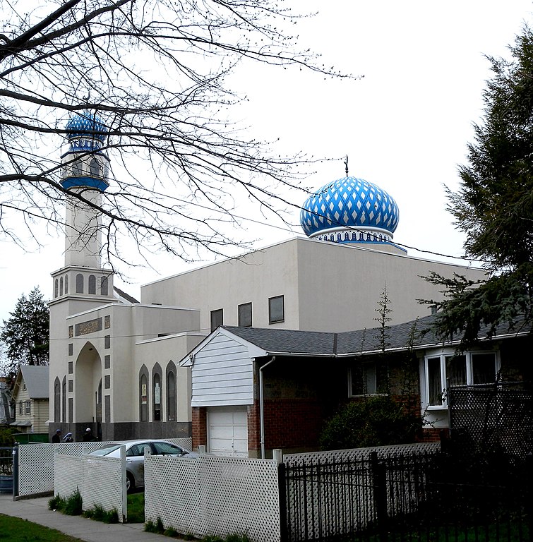
English: Looking west along 33rd Avenue, west of Parsons Boulevard, at a mosque in Flushing on a cloudy midday. |
| Date | Taken on 19 April 2009 |
| Source | Own work |
| Author | Jim.henderson |
| Camera location | | View this and other nearby images on: OpenStreetMap |
|
|---|
Licensing
| I, the copyright holder of this work, release this work into the
public domain. This applies worldwide. In some countries this may not be legally possible; if so: I grant anyone the right to use this work for any purpose, without any conditions, unless such conditions are required by law. |
File history
Click on a date/time to view the file as it appeared at that time.
| Date/Time | Thumbnail | Dimensions | User | Comment | |
|---|---|---|---|---|---|
| current | 01:54, 12 May 2009 |
| 2,610 × 2,654 (920 KB) | Jim.henderson | {{Information |Description={{en|1=Looking west along 33rd Avenue, west of Parsons Boulevard, at a mosque in Flushing on a cloud midday.}} |Source=Own work by uploader |Author= Jim.henderson |Date=April 2009 |Permission= |other_versio |
File usage
The following pages on the English Wikipedia use this file (pages on other projects are not listed):
Global file usage
The following other wikis use this file:
- Usage on bn.wikipedia.org
- Usage on ckb.wikipedia.org
- Usage on fr.wikipedia.org
- Usage on ru.wikipedia.org
- Usage on uz.wikipedia.org
- Usage on www.wikidata.org
Metadata
Size of this preview:
590 × 600 pixels. Other resolutions:
236 × 240 pixels |
472 × 480 pixels |
755 × 768 pixels |
1,007 × 1,024 pixels |
2,014 × 2,048 pixels |
2,610 × 2,654 pixels.
Original file (2,610 × 2,654 pixels, file size: 920 KB, MIME type: image/jpeg)
| This is a file from the
Wikimedia Commons. Information from its
description page there is shown below. Commons is a freely licensed media file repository. You can help. |
Summary
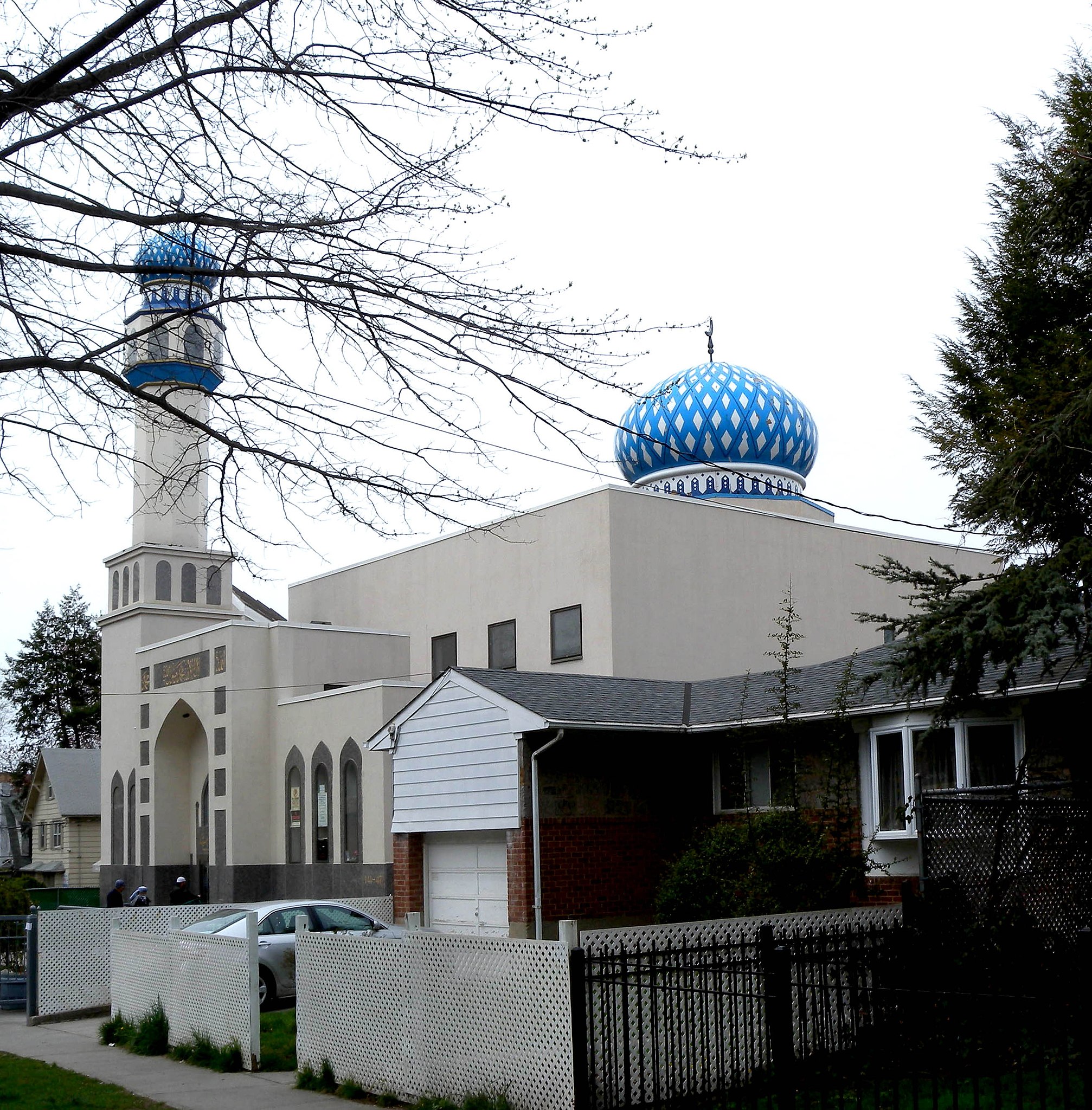
| Description |
English: Looking west along 33rd Avenue, west of Parsons Boulevard, at a mosque in Flushing on a cloudy midday. |
| Date | Taken on 19 April 2009 |
| Source | Own work |
| Author | Jim.henderson |
| Camera location | | View this and other nearby images on: OpenStreetMap |
|
|---|
Licensing
| I, the copyright holder of this work, release this work into the
public domain. This applies worldwide. In some countries this may not be legally possible; if so: I grant anyone the right to use this work for any purpose, without any conditions, unless such conditions are required by law. |
File history
Click on a date/time to view the file as it appeared at that time.
| Date/Time | Thumbnail | Dimensions | User | Comment | |
|---|---|---|---|---|---|
| current | 01:54, 12 May 2009 |
| 2,610 × 2,654 (920 KB) | Jim.henderson | {{Information |Description={{en|1=Looking west along 33rd Avenue, west of Parsons Boulevard, at a mosque in Flushing on a cloud midday.}} |Source=Own work by uploader |Author= Jim.henderson |Date=April 2009 |Permission= |other_versio |
File usage
The following pages on the English Wikipedia use this file (pages on other projects are not listed):
Global file usage
The following other wikis use this file:
- Usage on bn.wikipedia.org
- Usage on ckb.wikipedia.org
- Usage on fr.wikipedia.org
- Usage on ru.wikipedia.org
- Usage on uz.wikipedia.org
- Usage on www.wikidata.org