Photos • Location


Size of this preview:
400 × 600 pixels. Other resolutions:
160 × 240 pixels |
320 × 480 pixels |
512 × 768 pixels |
682 × 1,024 pixels |
1,365 × 2,048 pixels |
2,592 × 3,888 pixels.
Original file (2,592 × 3,888 pixels, file size: 5.39 MB, MIME type: image/jpeg)
| This is a file from the
Wikimedia Commons. Information from its
description page there is shown below. Commons is a freely licensed media file repository. You can help. |
|
This building is indexed in the
base Mérimée, a database of architectural heritage maintained by the
French Ministry of Culture, under the reference
PA00112454
|
Summary
| Description |
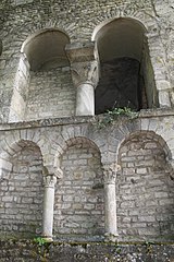
Français : Flavigny-sur-Ozerain ancienne abbaye élévation des cryptes arcades murées |
| Date | |
| Source | Own work |
| Author | Phil25 |
| Object location |
| View this and other nearby images on: OpenStreetMap |
|
|---|
Licensing
| I, the copyright holder of this work, release this work into the
public domain. This applies worldwide. In some countries this may not be legally possible; if so: I grant anyone the right to use this work for any purpose, without any conditions, unless such conditions are required by law. |
File history
Click on a date/time to view the file as it appeared at that time.
| Date/Time | Thumbnail | Dimensions | User | Comment | |
|---|---|---|---|---|---|
| current | 20:52, 10 July 2008 |
| 2,592 × 3,888 (5.39 MB) | Phil25 | {{Information |Description={{fr|1=Flavigny-sur-Ozerain ancienne abbaye élévation des cryptes arcades murées}} |Source=travail personnel (own work) |Author= Phil25 |Date=2008 |Permission= |other_versions= }} {{ImageUpload|full}} [[Catego |
File usage
The following pages on the English Wikipedia use this file (pages on other projects are not listed):
Global file usage
The following other wikis use this file:
- Usage on ca.wikipedia.org
- Usage on fr.wikipedia.org
Metadata
Size of this preview:
400 × 600 pixels. Other resolutions:
160 × 240 pixels |
320 × 480 pixels |
512 × 768 pixels |
682 × 1,024 pixels |
1,365 × 2,048 pixels |
2,592 × 3,888 pixels.
Original file (2,592 × 3,888 pixels, file size: 5.39 MB, MIME type: image/jpeg)
| This is a file from the
Wikimedia Commons. Information from its
description page there is shown below. Commons is a freely licensed media file repository. You can help. |
|
This building is indexed in the
base Mérimée, a database of architectural heritage maintained by the
French Ministry of Culture, under the reference
PA00112454
|
Summary
| Description |
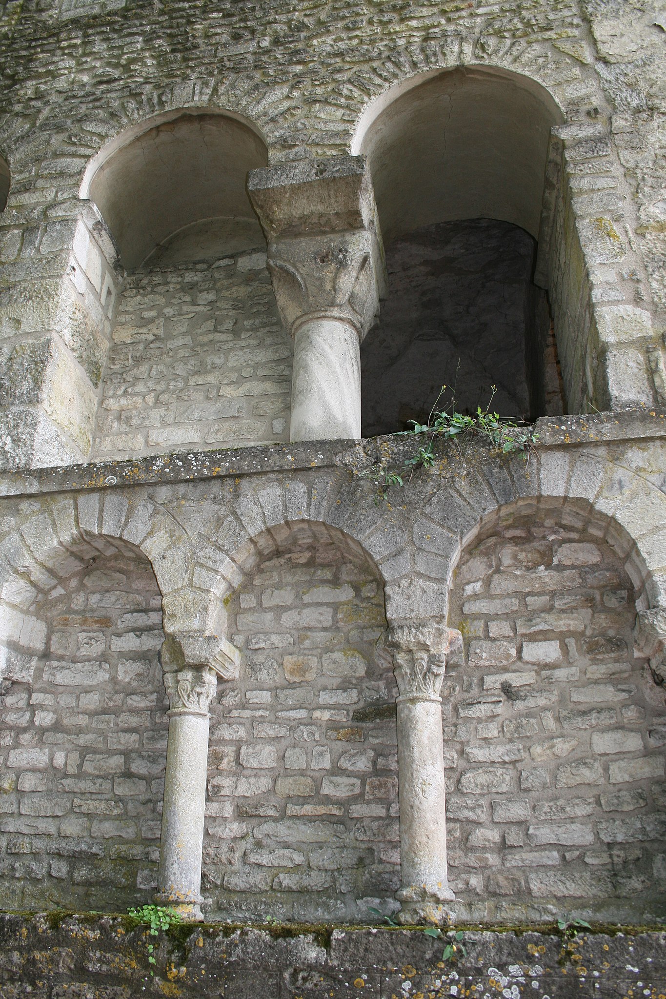
Français : Flavigny-sur-Ozerain ancienne abbaye élévation des cryptes arcades murées |
| Date | |
| Source | Own work |
| Author | Phil25 |
| Object location |
| View this and other nearby images on: OpenStreetMap |
|
|---|
Licensing
| I, the copyright holder of this work, release this work into the
public domain. This applies worldwide. In some countries this may not be legally possible; if so: I grant anyone the right to use this work for any purpose, without any conditions, unless such conditions are required by law. |
File history
Click on a date/time to view the file as it appeared at that time.
| Date/Time | Thumbnail | Dimensions | User | Comment | |
|---|---|---|---|---|---|
| current | 20:52, 10 July 2008 |
| 2,592 × 3,888 (5.39 MB) | Phil25 | {{Information |Description={{fr|1=Flavigny-sur-Ozerain ancienne abbaye élévation des cryptes arcades murées}} |Source=travail personnel (own work) |Author= Phil25 |Date=2008 |Permission= |other_versions= }} {{ImageUpload|full}} [[Catego |
File usage
The following pages on the English Wikipedia use this file (pages on other projects are not listed):
Global file usage
The following other wikis use this file:
- Usage on ca.wikipedia.org
- Usage on fr.wikipedia.org