
Original file (SVG file, nominally 1,425 × 1,279 pixels, file size: 834 KB)
| This is a file from the
Wikimedia Commons. Information from its
description page there is shown below. Commons is a freely licensed media file repository. You can help. |
| Description |
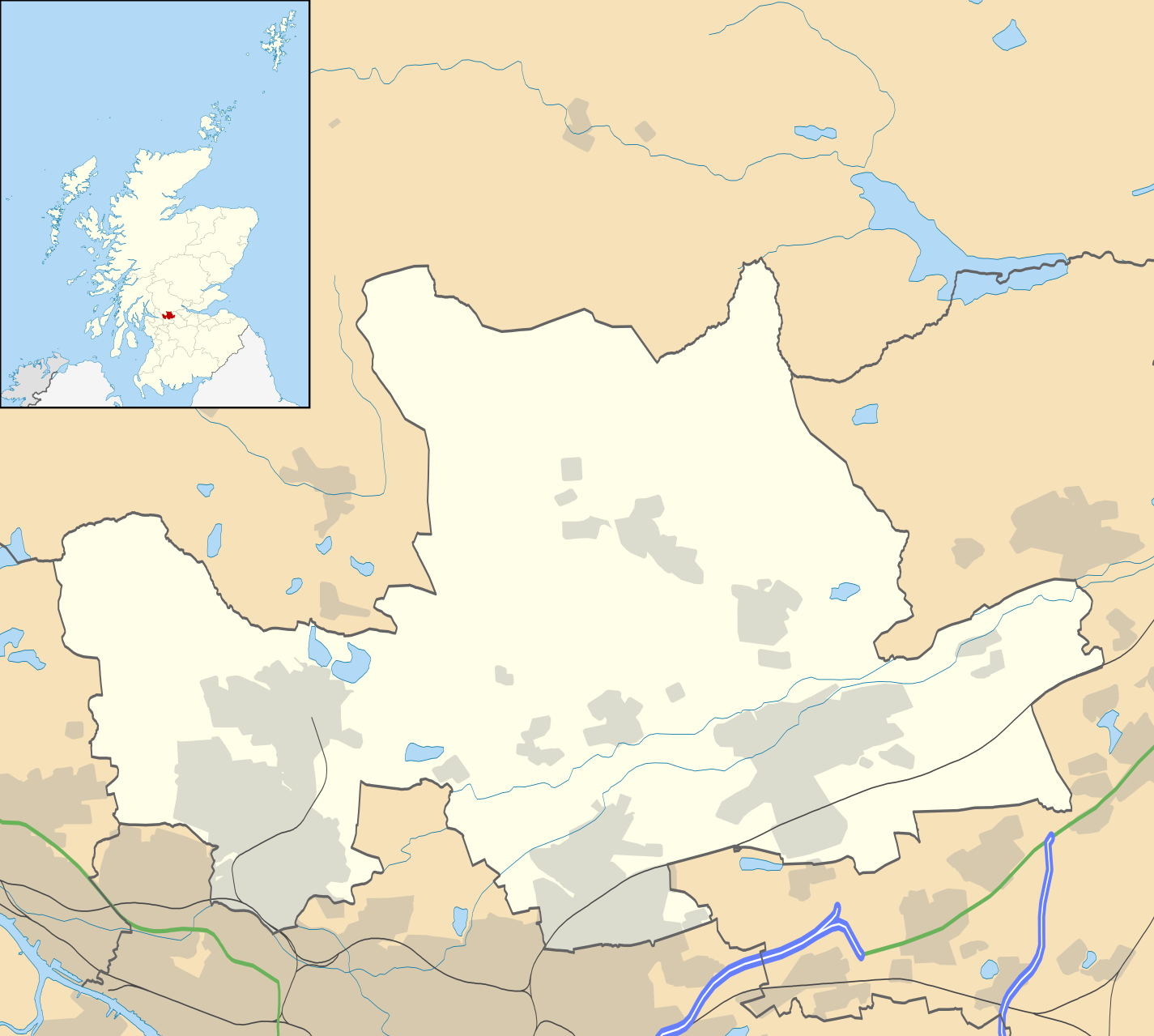
Blank map of East Dunbartonshire, UK with the following information shown:
Equirectangular map projection on WGS 84 datum, with N/S stretched 175% Geographic limits:
|
| Date | |
| Source |
|
| Author | Nilfanion, created using Ordnance Survey data |
| Permission ( Reusing this file) |
This file is licensed under the
Creative Commons
Attribution-Share Alike 3.0 Unported license. Attribution: Contains Ordnance Survey data © Crown copyright and database right
|
| Other versions | File:East Dunbartonshire UK blank map.svg - Blank map |
File history
Click on a date/time to view the file as it appeared at that time.
| Date/Time | Thumbnail | Dimensions | User | Comment | |
|---|---|---|---|---|---|
| current | 20:12, 26 September 2010 |
| 1,425 × 1,279 (834 KB) | Nilfanion | {{Information |Description=Blank map of East Dunbartonshire, UK with the following information shown: *Administrative borders *Coastline, lakes and rivers *Roads and railways *Urban areas Equirectangular map projection on WGS 84 |
File usage
- Auchenreoch
- Auchinairn
- Auld Aisle Cemetery
- Baldernock
- Balmore
- Bardowie
- Barnellan
- Bearsden
- Birdston
- Bishopbriggs
- Broomhill Hospital
- Cadder
- Canniesburn Hospital
- Clachan of Campsie
- Colston, Glasgow
- East Dunbartonshire
- Haughhead
- Kirkintilloch
- Kirkintilloch Town Hall
- Lennoxtown
- Lenzie
- Milngavie
- Milton of Campsie
- Torrance, East Dunbartonshire
- Twechar
- Waterside, East Dunbartonshire
- Woodilee Hospital
- Woodilee Village
- Module:Location map/data/Scotland East Dunbartonshire
- Module:Location map/data/Scotland East Dunbartonshire/doc
Global file usage
The following other wikis use this file:
- Usage on ar.wikipedia.org
- Usage on bg.wikipedia.org
- Usage on ceb.wikipedia.org
- Usage on de.wikipedia.org
- Usage on eo.wikipedia.org
- Usage on es.wikipedia.org
- Usage on fa.wikipedia.org
- Usage on fr.wikipedia.org
- Usage on gd.wikipedia.org
- Usage on ja.wikipedia.org
- Usage on kn.wikipedia.org
- Usage on nl.wikipedia.org
- Usage on pl.wikipedia.org
View more global usage of this file.
Original file (SVG file, nominally 1,425 × 1,279 pixels, file size: 834 KB)
| This is a file from the
Wikimedia Commons. Information from its
description page there is shown below. Commons is a freely licensed media file repository. You can help. |
| Description |
Blank map of East Dunbartonshire, UK with the following information shown:
Equirectangular map projection on WGS 84 datum, with N/S stretched 175% Geographic limits:
|
| Date | |
| Source |
|
| Author | Nilfanion, created using Ordnance Survey data |
| Permission ( Reusing this file) |
This file is licensed under the
Creative Commons
Attribution-Share Alike 3.0 Unported license. Attribution: Contains Ordnance Survey data © Crown copyright and database right
|
| Other versions | File:East Dunbartonshire UK blank map.svg - Blank map |
File history
Click on a date/time to view the file as it appeared at that time.
| Date/Time | Thumbnail | Dimensions | User | Comment | |
|---|---|---|---|---|---|
| current | 20:12, 26 September 2010 |
| 1,425 × 1,279 (834 KB) | Nilfanion | {{Information |Description=Blank map of East Dunbartonshire, UK with the following information shown: *Administrative borders *Coastline, lakes and rivers *Roads and railways *Urban areas Equirectangular map projection on WGS 84 |
File usage
- Auchenreoch
- Auchinairn
- Auld Aisle Cemetery
- Baldernock
- Balmore
- Bardowie
- Barnellan
- Bearsden
- Birdston
- Bishopbriggs
- Broomhill Hospital
- Cadder
- Canniesburn Hospital
- Clachan of Campsie
- Colston, Glasgow
- East Dunbartonshire
- Haughhead
- Kirkintilloch
- Kirkintilloch Town Hall
- Lennoxtown
- Lenzie
- Milngavie
- Milton of Campsie
- Torrance, East Dunbartonshire
- Twechar
- Waterside, East Dunbartonshire
- Woodilee Hospital
- Woodilee Village
- Module:Location map/data/Scotland East Dunbartonshire
- Module:Location map/data/Scotland East Dunbartonshire/doc
Global file usage
The following other wikis use this file:
- Usage on ar.wikipedia.org
- Usage on bg.wikipedia.org
- Usage on ceb.wikipedia.org
- Usage on de.wikipedia.org
- Usage on eo.wikipedia.org
- Usage on es.wikipedia.org
- Usage on fa.wikipedia.org
- Usage on fr.wikipedia.org
- Usage on gd.wikipedia.org
- Usage on ja.wikipedia.org
- Usage on kn.wikipedia.org
- Usage on nl.wikipedia.org
- Usage on pl.wikipedia.org
View more global usage of this file.