Photos • Location


Size of this preview:
450 × 600 pixels. Other resolutions:
180 × 240 pixels |
360 × 480 pixels |
576 × 768 pixels |
768 × 1,024 pixels |
2,304 × 3,072 pixels.
Original file (2,304 × 3,072 pixels, file size: 692 KB, MIME type: image/jpeg)
| This is a file from the
Wikimedia Commons. Information from its
description page there is shown below. Commons is a freely licensed media file repository. You can help. |
Summary
| Description |
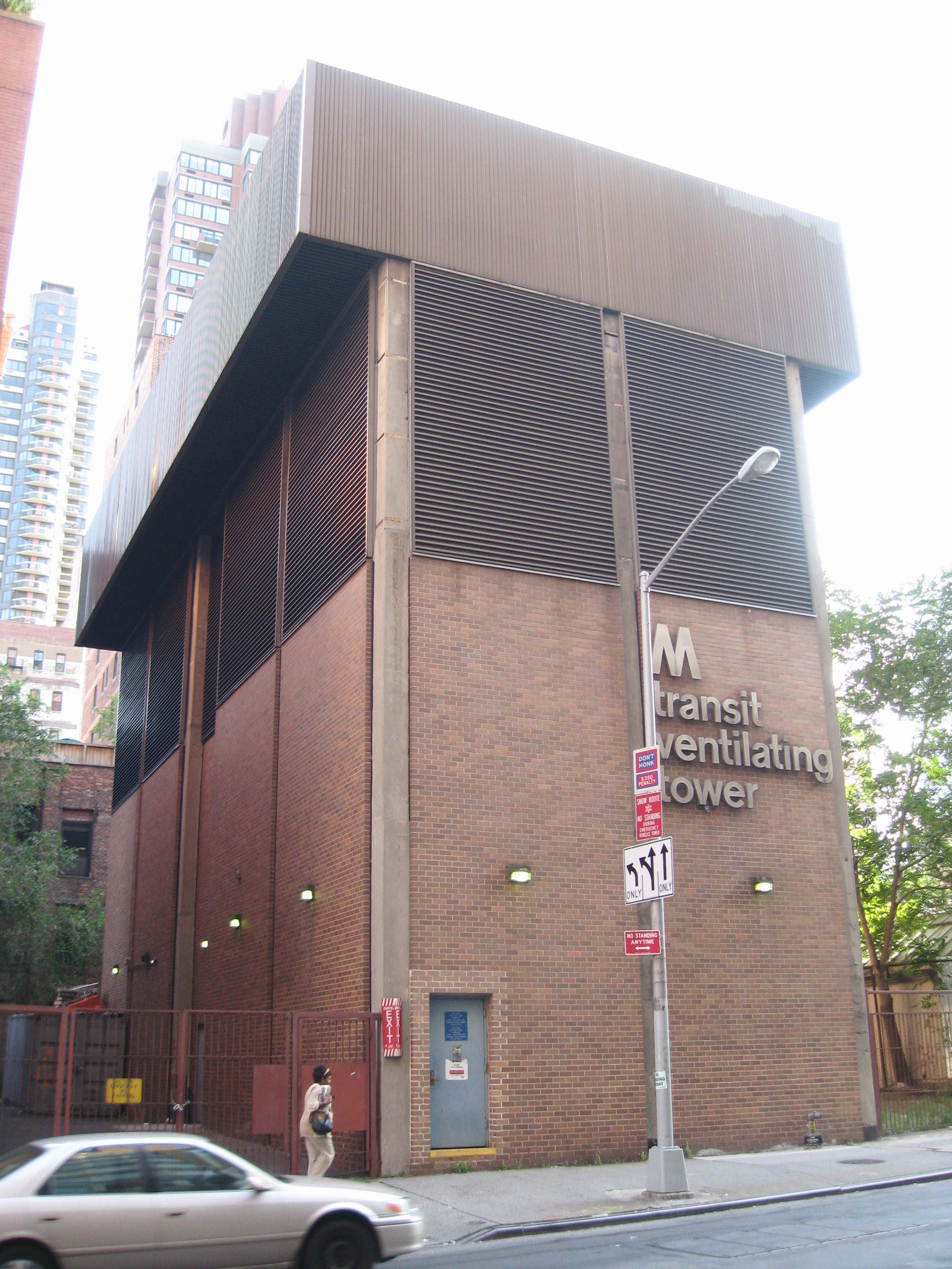
English: Looking south across 63d Street, east of Second Avenue, at
en:IND 63rd Street Line ventilation tower on a cloudy afternoon. See also
Image:63 tunnel Rooselvelt Island jeh.JPG |
| Date | |
| Source | Own work |
| Author | Jim.henderson |
| Camera location | | View this and other nearby images on: OpenStreetMap |
|
|---|
Licensing
| I, the copyright holder of this work, release this work into the
public domain. This applies worldwide. In some countries this may not be legally possible; if so: I grant anyone the right to use this work for any purpose, without any conditions, unless such conditions are required by law. |
File history
Click on a date/time to view the file as it appeared at that time.
| Date/Time | Thumbnail | Dimensions | User | Comment | |
|---|---|---|---|---|---|
| current | 18:38, 24 July 2008 |
| 2,304 × 3,072 (692 KB) | Jim.henderson | {{Information |Description={{en|1=Looking south across 63d Street, east of Second Avenue, at IND 63rd Street Line ventilation tower on a cloudy afternoon}} |Source=Own work by uploader |Author= Jim.henderson |Date=July 2008 |Perm |
File usage
The following pages on the English Wikipedia use this file (pages on other projects are not listed):
Global file usage
Metadata
Size of this preview:
450 × 600 pixels. Other resolutions:
180 × 240 pixels |
360 × 480 pixels |
576 × 768 pixels |
768 × 1,024 pixels |
2,304 × 3,072 pixels.
Original file (2,304 × 3,072 pixels, file size: 692 KB, MIME type: image/jpeg)
| This is a file from the
Wikimedia Commons. Information from its
description page there is shown below. Commons is a freely licensed media file repository. You can help. |
Summary
| Description |
English: Looking south across 63d Street, east of Second Avenue, at
en:IND 63rd Street Line ventilation tower on a cloudy afternoon. See also
Image:63 tunnel Rooselvelt Island jeh.JPG |
| Date | |
| Source | Own work |
| Author | Jim.henderson |
| Camera location | | View this and other nearby images on: OpenStreetMap |
|
|---|
Licensing
| I, the copyright holder of this work, release this work into the
public domain. This applies worldwide. In some countries this may not be legally possible; if so: I grant anyone the right to use this work for any purpose, without any conditions, unless such conditions are required by law. |
File history
Click on a date/time to view the file as it appeared at that time.
| Date/Time | Thumbnail | Dimensions | User | Comment | |
|---|---|---|---|---|---|
| current | 18:38, 24 July 2008 |
| 2,304 × 3,072 (692 KB) | Jim.henderson | {{Information |Description={{en|1=Looking south across 63d Street, east of Second Avenue, at IND 63rd Street Line ventilation tower on a cloudy afternoon}} |Source=Own work by uploader |Author= Jim.henderson |Date=July 2008 |Perm |
File usage
The following pages on the English Wikipedia use this file (pages on other projects are not listed):