Photos • Location


Size of this preview:
800 × 532 pixels. Other resolutions:
320 × 213 pixels |
640 × 426 pixels |
1,024 × 681 pixels |
1,280 × 851 pixels |
2,560 × 1,702 pixels |
6,016 × 4,000 pixels.
Original file (6,016 × 4,000 pixels, file size: 5.99 MB, MIME type: image/jpeg)
| This is a file from the
Wikimedia Commons. Information from its
description page there is shown below. Commons is a freely licensed media file repository. You can help. |
| Camera location |
| View this and other nearby images on: OpenStreetMap |
|
|---|
| Description |
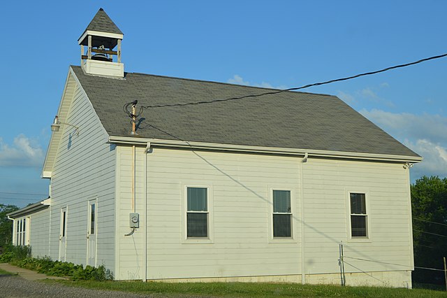
English: Western side and front of the Methodist church in
Dungannon,
Ohio,
United States, located at 14841
State Route 339. |
||
| Date | Taken on 28 May 2015 | ||
| Source | Own work | ||
| Author | Nyttend | ||
| Permission ( Reusing this file) |
|
File history
Click on a date/time to view the file as it appeared at that time.
| Date/Time | Thumbnail | Dimensions | User | Comment | |
|---|---|---|---|---|---|
| current | 01:15, 13 June 2015 |
| 6,016 × 4,000 (5.99 MB) | Nyttend | {{Location|41|14|41|N|83|16|56|W}} {{Information |Description={{en|Western side and front of the Methodist church in {{w|Dungannon, Noble County, Ohio|Dungannon}}, {{w|Ohio}}, {{w|United States}}, located at 14841 {{w|Ohio State Route 339|State Route 3... |
File usage
The following pages on the English Wikipedia use this file (pages on other projects are not listed):
Metadata
Size of this preview:
800 × 532 pixels. Other resolutions:
320 × 213 pixels |
640 × 426 pixels |
1,024 × 681 pixels |
1,280 × 851 pixels |
2,560 × 1,702 pixels |
6,016 × 4,000 pixels.
Original file (6,016 × 4,000 pixels, file size: 5.99 MB, MIME type: image/jpeg)
| This is a file from the
Wikimedia Commons. Information from its
description page there is shown below. Commons is a freely licensed media file repository. You can help. |
| Camera location |
| View this and other nearby images on: OpenStreetMap |
|
|---|
| Description |
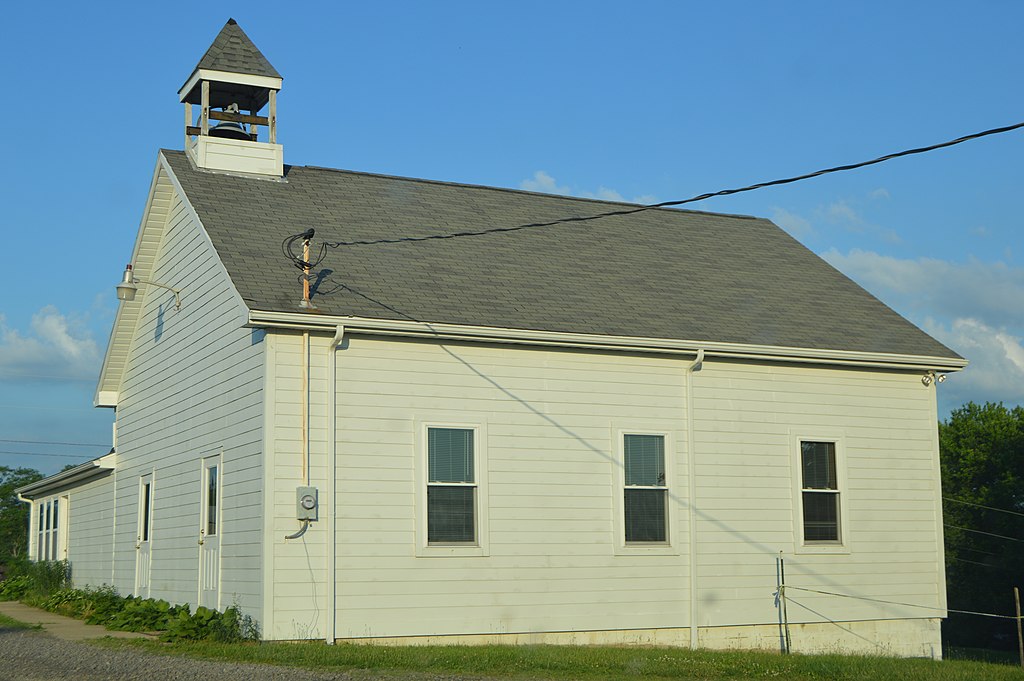
English: Western side and front of the Methodist church in
Dungannon,
Ohio,
United States, located at 14841
State Route 339. |
||
| Date | Taken on 28 May 2015 | ||
| Source | Own work | ||
| Author | Nyttend | ||
| Permission ( Reusing this file) |
|
File history
Click on a date/time to view the file as it appeared at that time.
| Date/Time | Thumbnail | Dimensions | User | Comment | |
|---|---|---|---|---|---|
| current | 01:15, 13 June 2015 |
| 6,016 × 4,000 (5.99 MB) | Nyttend | {{Location|41|14|41|N|83|16|56|W}} {{Information |Description={{en|Western side and front of the Methodist church in {{w|Dungannon, Noble County, Ohio|Dungannon}}, {{w|Ohio}}, {{w|United States}}, located at 14841 {{w|Ohio State Route 339|State Route 3... |
File usage
The following pages on the English Wikipedia use this file (pages on other projects are not listed):