Photos • Location


Size of this preview:
600 × 600 pixels. Other resolutions:
240 × 240 pixels |
480 × 480 pixels |
768 × 768 pixels |
1,024 × 1,024 pixels |
2,000 × 2,000 pixels.
Original file (2,000 × 2,000 pixels, file size: 1.21 MB, MIME type: image/jpeg)
| This is a file from the
Wikimedia Commons. Information from its
description page there is shown below. Commons is a freely licensed media file repository. You can help. |
Summary
| Description |
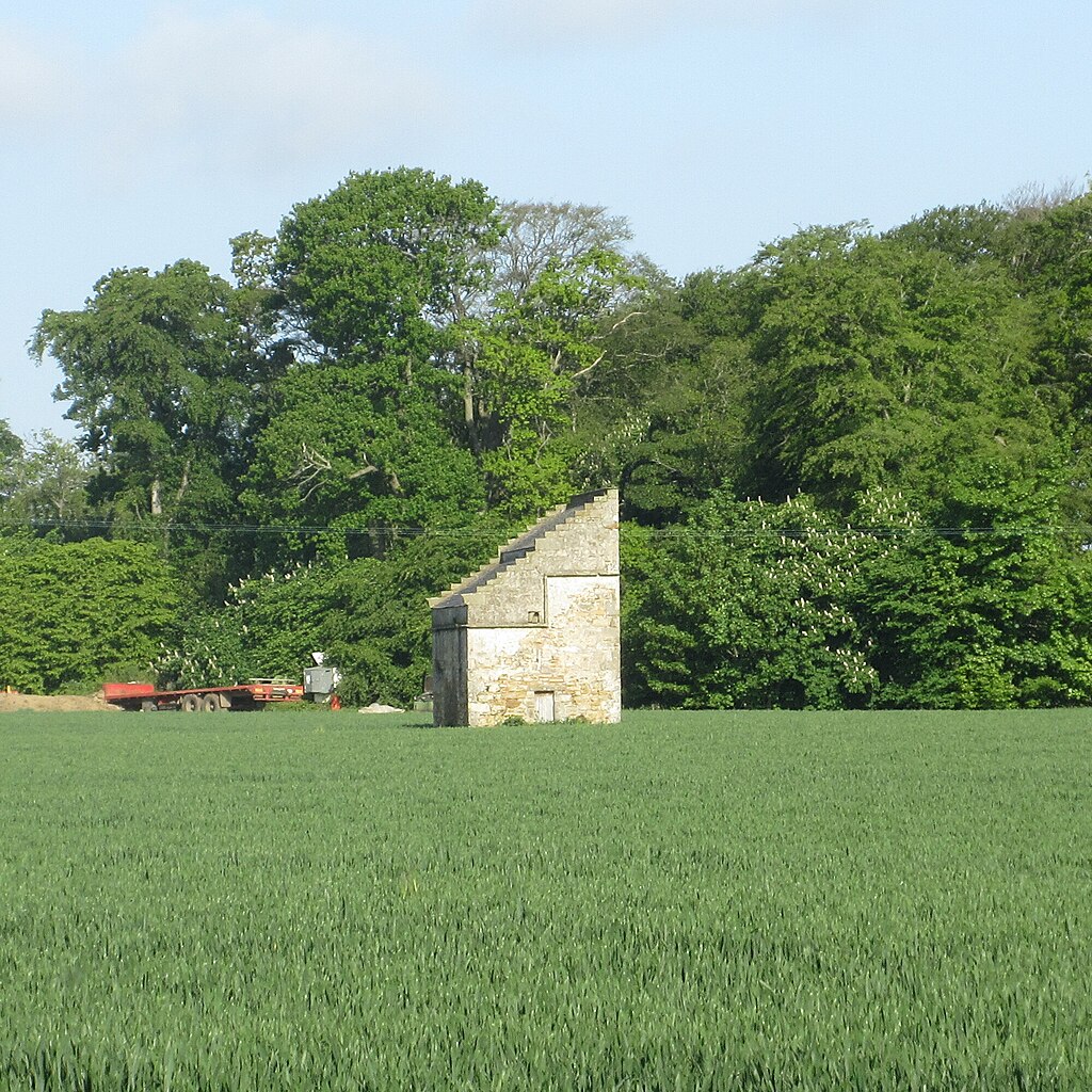
English: Dovecot at Denbrae |
| Date | |
| Source |
This file was derived from:
Dovecot at Denbrae (geograph 7498079).jpg |
| Author | Scott Cormie |
| Permission ( Reusing this file) |
Creative Commons Attribution Share-alike license 2.0 |
| Attribution ( required by the license) | Scott Cormie / Dovecot at Denbrae / |
| Camera location | | View this and other nearby images on: OpenStreetMap |
|
|---|
| Object location | | View this and other nearby images on: OpenStreetMap |
|
|---|
.jpg)
_(cropped).jpg)
_(cropped).jpg¶ms=056.325051_N_-002.843386_E_globe:Earth_type:camera_source:geograph-osgb36(NO47941506)_heading:292.00&language=en)
_(cropped).jpg¶ms=056.325560_N_-002.847760_E_globe:Earth_class:object_type:object_source:geograph-osgb36(NO47671512)_heading:292.00&language=en)
Licensing
This file is licensed under the
Creative Commons
Attribution-Share Alike 2.0 Generic license.
Attribution: Scott Cormie
- You are free:
- to share – to copy, distribute and transmit the work
- to remix – to adapt the work
- Under the following conditions:
- attribution – You must give appropriate credit, provide a link to the license, and indicate if changes were made. You may do so in any reasonable manner, but not in any way that suggests the licensor endorses you or your use.
- share alike – If you remix, transform, or build upon the material, you must distribute your contributions under the same or compatible license as the original.
File history
Click on a date/time to view the file as it appeared at that time.
| Date/Time | Thumbnail | Dimensions | User | Comment | |
|---|---|---|---|---|---|
| current | 19:53, 25 September 2023 |
| 2,000 × 2,000 (1.21 MB) | Craobh àrd | File:Dovecot at Denbrae (geograph 7498079).jpg cropped 61 % horizontally, 49 % vertically using CropTool with lossless mode. |
.jpg)
File usage
The following pages on the English Wikipedia use this file (pages on other projects are not listed):
Metadata
_(cropped).jpg)
Size of this preview:
600 × 600 pixels. Other resolutions:
240 × 240 pixels |
480 × 480 pixels |
768 × 768 pixels |
1,024 × 1,024 pixels |
2,000 × 2,000 pixels.
Original file (2,000 × 2,000 pixels, file size: 1.21 MB, MIME type: image/jpeg)
| This is a file from the
Wikimedia Commons. Information from its
description page there is shown below. Commons is a freely licensed media file repository. You can help. |
Summary
| Description |
English: Dovecot at Denbrae |
| Date | |
| Source |
This file was derived from:
Dovecot at Denbrae (geograph 7498079).jpg |
| Author | Scott Cormie |
| Permission ( Reusing this file) |
Creative Commons Attribution Share-alike license 2.0 |
| Attribution ( required by the license) | Scott Cormie / Dovecot at Denbrae / |
| Camera location | | View this and other nearby images on: OpenStreetMap |
|
|---|
| Object location | | View this and other nearby images on: OpenStreetMap |
|
|---|
Licensing
This file is licensed under the
Creative Commons
Attribution-Share Alike 2.0 Generic license.
Attribution: Scott Cormie
- You are free:
- to share – to copy, distribute and transmit the work
- to remix – to adapt the work
- Under the following conditions:
- attribution – You must give appropriate credit, provide a link to the license, and indicate if changes were made. You may do so in any reasonable manner, but not in any way that suggests the licensor endorses you or your use.
- share alike – If you remix, transform, or build upon the material, you must distribute your contributions under the same or compatible license as the original.
File history
Click on a date/time to view the file as it appeared at that time.
| Date/Time | Thumbnail | Dimensions | User | Comment | |
|---|---|---|---|---|---|
| current | 19:53, 25 September 2023 |
| 2,000 × 2,000 (1.21 MB) | Craobh àrd | File:Dovecot at Denbrae (geograph 7498079).jpg cropped 61 % horizontally, 49 % vertically using CropTool with lossless mode. |
File usage
The following pages on the English Wikipedia use this file (pages on other projects are not listed):