
Original file (SVG file, nominally 600 × 800 pixels, file size: 20 KB)
| This is a file from the
Wikimedia Commons. Information from its
description page there is shown below. Commons is a freely licensed media file repository. You can help. |
| Description |
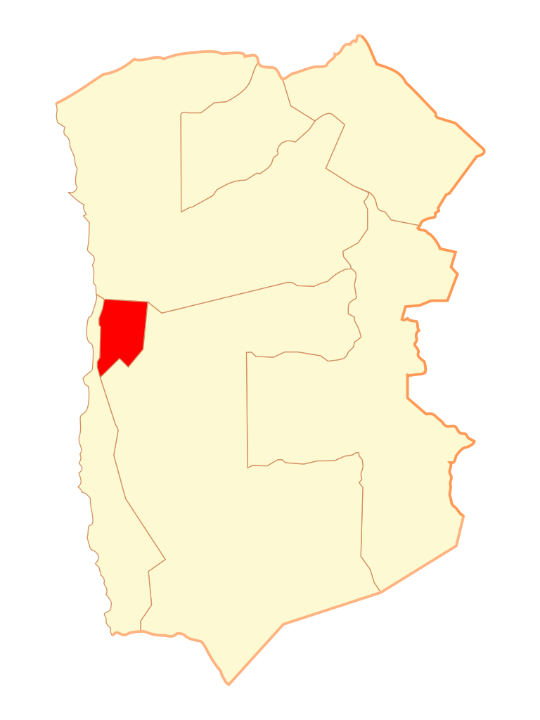
Español: Mapa de la
comuna de Alto Hospicio,
Región de Tarapacá |
||
| Date | |||
| Source |
Own work
|
||
| Author | Osmar Valdebenito | ||
| Permission ( Reusing this file) |
Osmar Valdebenito, the copyright holder of this work, hereby publishes it under the following license: This file is licensed under the
Creative Commons
Attribution-Share Alike 2.5 Generic license. Attribution: Osmar Valdebenito
|
File history
Click on a date/time to view the file as it appeared at that time.
| Date/Time | Thumbnail | Dimensions | User | Comment | |
|---|---|---|---|---|---|
| current | 02:24, 10 October 2007 |
| 600 × 800 (20 KB) | B1mbo | {{Information |Description= |Source= |Date= |Author= |Permission= |other_versions= }} |
| 18:36, 27 December 2006 |
 | 600 × 1,200 (32 KB) | B1mbo | {{Information |Description={{es|Mapa de la comuna de Alto Hospicio}} |Source={{Chilean map|User:B1mbo|Tarapacá Region}} |Date=27 de diciembre de 2006 |Author= B1mbo |Permission=Own work, share alike, attribution required (Creative Commons |
File usage
Global file usage
The following other wikis use this file:
- Usage on ar.wikipedia.org
- Usage on diq.wikipedia.org
- Usage on es.wikipedia.org
- Usage on eu.wikipedia.org
- Usage on fa.wikipedia.org
- Usage on ko.wikipedia.org
- Usage on nl.wikipedia.org
- Usage on rm.wikipedia.org
- Usage on ro.wikipedia.org
- Usage on ru.wikipedia.org
- Usage on tt.wikipedia.org
- Usage on www.wikidata.org
- Usage on zh.wikipedia.org
Original file (SVG file, nominally 600 × 800 pixels, file size: 20 KB)
| This is a file from the
Wikimedia Commons. Information from its
description page there is shown below. Commons is a freely licensed media file repository. You can help. |
| Description |
Español: Mapa de la
comuna de Alto Hospicio,
Región de Tarapacá |
||
| Date | |||
| Source |
Own work
|
||
| Author | Osmar Valdebenito | ||
| Permission ( Reusing this file) |
Osmar Valdebenito, the copyright holder of this work, hereby publishes it under the following license: This file is licensed under the
Creative Commons
Attribution-Share Alike 2.5 Generic license. Attribution: Osmar Valdebenito
|
File history
Click on a date/time to view the file as it appeared at that time.
| Date/Time | Thumbnail | Dimensions | User | Comment | |
|---|---|---|---|---|---|
| current | 02:24, 10 October 2007 |
| 600 × 800 (20 KB) | B1mbo | {{Information |Description= |Source= |Date= |Author= |Permission= |other_versions= }} |
| 18:36, 27 December 2006 |
| 600 × 1,200 (32 KB) | B1mbo | {{Information |Description={{es|Mapa de la comuna de Alto Hospicio}} |Source={{Chilean map|User:B1mbo|Tarapacá Region}} |Date=27 de diciembre de 2006 |Author= B1mbo |Permission=Own work, share alike, attribution required (Creative Commons |
File usage
Global file usage
The following other wikis use this file:
- Usage on ar.wikipedia.org
- Usage on diq.wikipedia.org
- Usage on es.wikipedia.org
- Usage on eu.wikipedia.org
- Usage on fa.wikipedia.org
- Usage on ko.wikipedia.org
- Usage on nl.wikipedia.org
- Usage on rm.wikipedia.org
- Usage on ro.wikipedia.org
- Usage on ru.wikipedia.org
- Usage on tt.wikipedia.org
- Usage on www.wikidata.org
- Usage on zh.wikipedia.org